 Hiking
 Login
Login More
More EN
EN Premium
Auto-pedestrian Moesdorf
automatic translation
7.5 km • Mersch
400 0 0/5

 Addresse starting point (approximate)
Rue d'Ettelbruck 28, 7462 Mersch, LU
 signage
The route is fully signposted with thematic signs (no nodes).

 Description
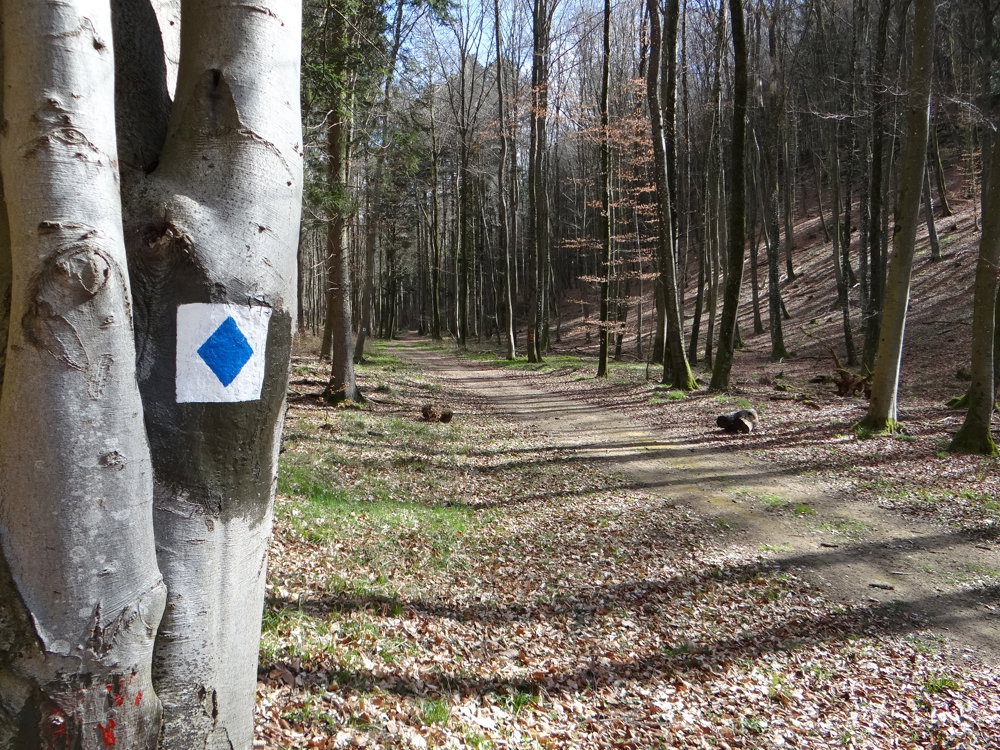
Markings in both directions: blue diamond on white background.
We did this walk on 31/03/2025 (9,901 steps).
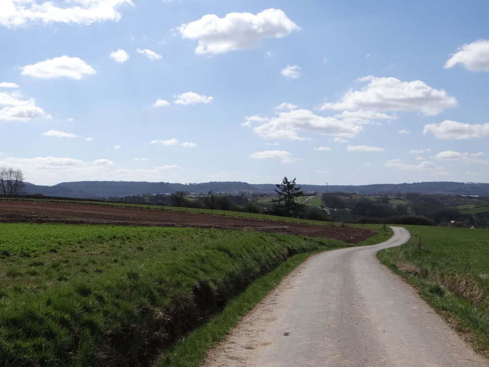
The route starts in the center of Moesdorf. We walked the loop counterclockwise, which quickly led us to a steep climb. Over a distance of 2.2 km, we climbed from 220 m in Moesdorf to 496 m. Needless to say, we were frequently treated to beautiful views. The walk follows a short section of the Sentier de la Petite Suisse, identifiable by the rock formations.
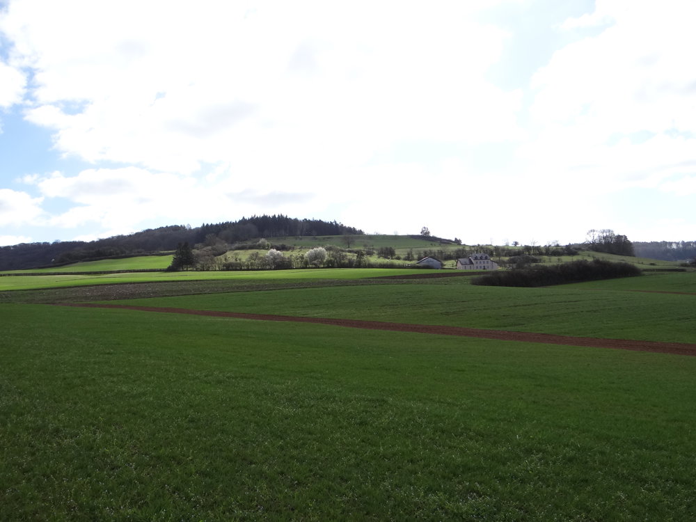
When one walks a loop and ascends, one must also descend. This descent took us through woods and fields with, how could it be otherwise, yet again stunning views of the beautiful nature and villages in the distance. In the distance, we saw the castle ruins of Pettingen. Pettingen is located right next to Moesdorf. The ruins are worth a visit.
More photos: https://photos.app.goo.gl/5eMAa6bb1WbrigwbA
Happy hiking,
Eddy, Rita, and Prinske
automatic translation


 Upgrade to Premium Plus
