 Hiking
 Login
Login More
More EN
EN Premium
Farm and Canal Walk
automatic translation
11.4 km • Geel
790 0 0/5

 Addresse starting point (approximate)
Retieseweg 180, 2440 Geel, BE
 signage
The route is partially signposted with nodes. Use a GPS device or our app to follow the route.


 Description
We did this walk on 14/03/2025 (14,236 steps).
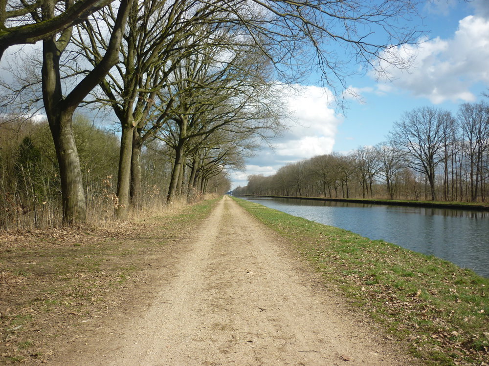
We felt like taking a walk along a canal and decided to make a circular route out of it, so we wouldn't have to return the same way. The canal from Bocholt to Herentals turned out to be ideal for a leisurely stroll, over the wide, partially paved towpath. We included a section of 3.6 km along the canal in the route.
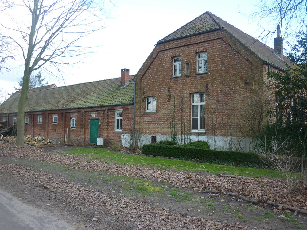
The inland part of the route offered a variety of landscapes. Unpaved, straight roads through fields turned into paved roads that took us past farms and barns. Additionally, the walk took us through a patch of forest with beautiful nature, offering a calming and picturesque change. With a small detour, you come to the burial mound of Baron Coppens, which is now a sanctuary for numerous bats.
More photos: https://photos.app.goo.gl/NCmsgNe23stUHJw46
Happy walking,
Eddy, Rita, and Prinske
automatic translation
 nodes to follow
0 km
1.6 km
1.7 km
2.1 km
2.5 km
3.4 km
4.7 km
5.2 km
6.7 km
7.4 km

7.9 km
8 km
8.6 km

11.4 km


 Upgrade to Premium Plus
