Loading...

Rambrouch 90% paved

automatic translation

10.2 km • Rambrouch

90 0 0/5

10.2 km 0.0 km 0.0 km
10 km
© OpenStreetMap contributors, Tracestrack

route offered by

Eddy & Rita

Icon starting point Addresse starting point (approximate)

Rue De Schwiedelbrouch 2, 8806 Rambrouch, LU

Icon type signage of route signage

The route is not signposted. Use a GPS device or our app to follow the route.

179.3 m 184.5 m 540 m 408.1 m These values indicate respectively the number of meters to rise, the highest and the lowest point in meters.
Atmosphere image 1 of route Rambrouch 90% paved Atmosphere image 2 of route Rambrouch 90% paved Atmosphere image 3 of route Rambrouch 90% paved
© Eddy & Rita

Icon description route Description

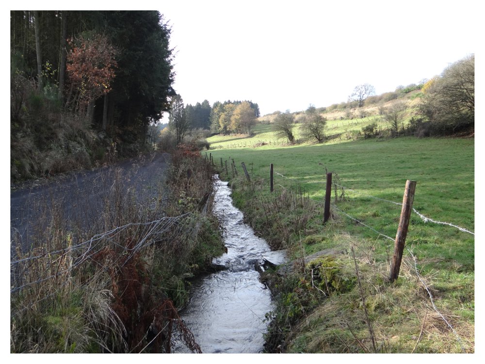
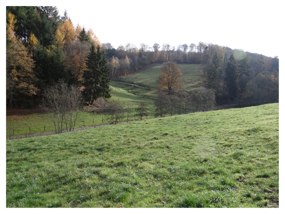
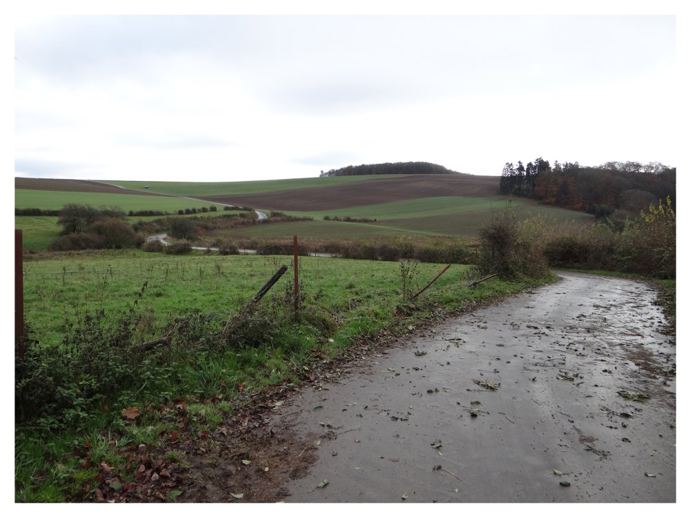
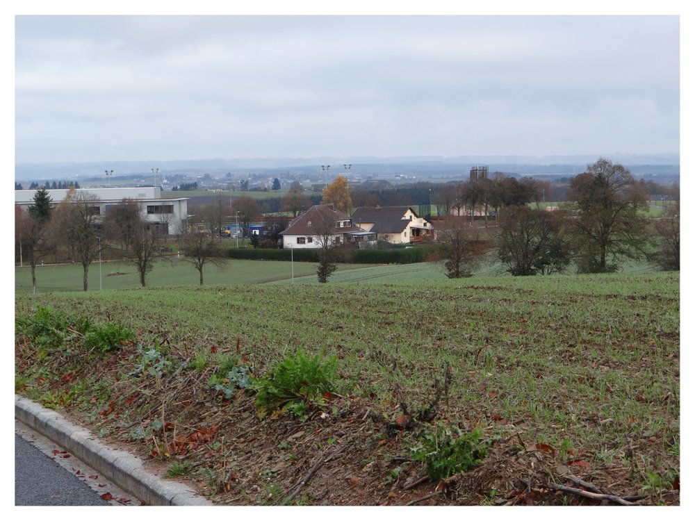
This is the old auto-pédestre Rambrouch 2. This route has been discontinued. There are probably no more markings to be found.

All roads and paths are still accessible. It is a beautiful walk that is almost 90% on paved roads. You just have to take in the stunning views. ;)

More photos: https://photos.app.goo.gl/ff4ALKbygbt3CKGt5

Happy hiking,
Eddy, Rita and Prinske

automatic translation

This route does not have any reviews yet. Be the first!
Rate route!

Which POI do you want to show on the map?

Experimental hiking network
Unsigned icon

The route you have chosen runs (partly) along an experimental virtual hiking node network (the blue-coloured nodes and sections on the map).

You must be logged in to plan routes here.

Experimental hiking network
Unsigned icon

The route you have chosen runs (partly) along an experimental virtual hiking node network (the blue-coloured nodes and sections on the map).

These routes are not controlled in the field. Before you start hiking here, take a minute to read what an experimental hiking node network is and what rules you should follow when hiking here.