 Hiking
 Login
Login More
More EN
EN Premium
Auto-Pedestrian Wilwerwiltz
automatic translation
9.6 km • Kiischpelt
70 0 0/5

 Addresse starting point (approximate)
Am Duerf 3, 9776 Kiischpelt, LU
 signage
The route is fully signposted with thematic signs (no nodes).
 Description
Marking: Blue diamond on white background
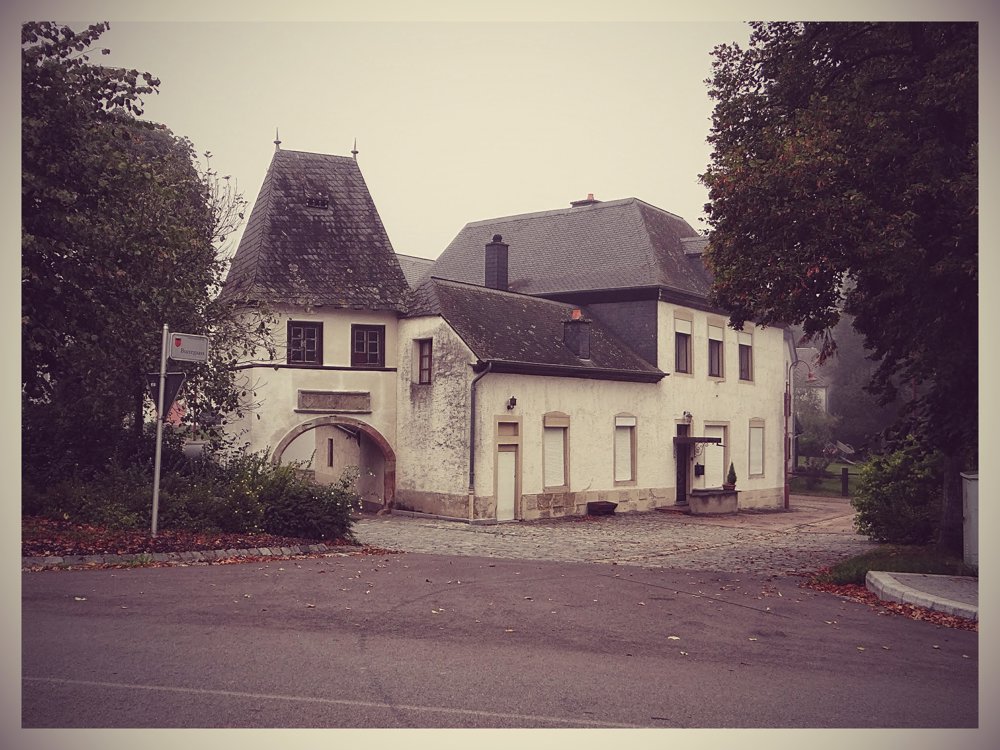
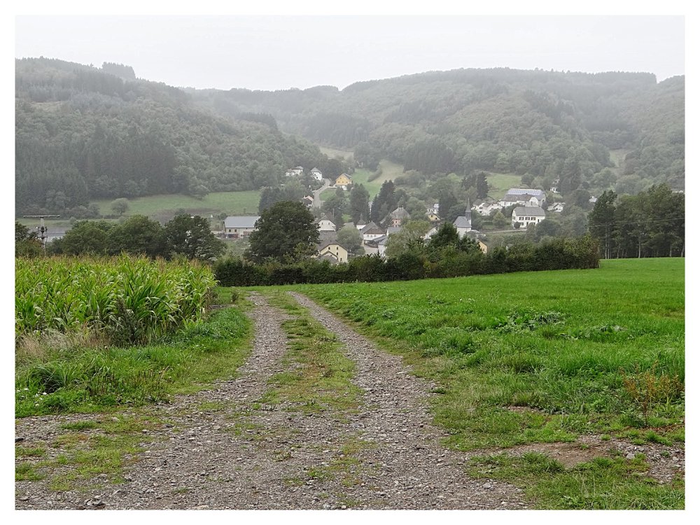
This route crosses three villages in the area.
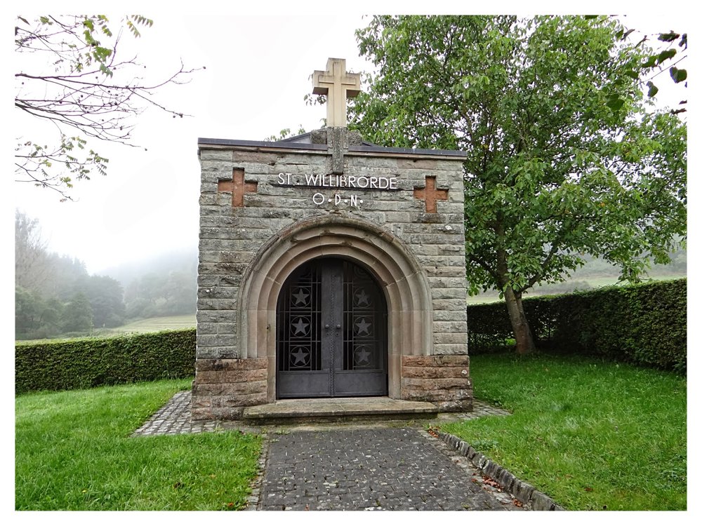
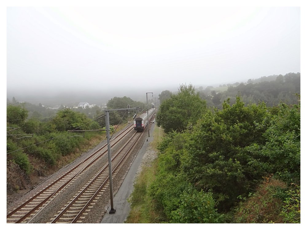
Shortly after the start in the center of Wilwerwiltz, you arrive at the St. Willibrordus Chapel. The path then crosses the Clerve and subsequently the railway line. It reaches Lellingen, whose restored center is worth a detour.
Between the Lellgerbaach and the Pëntsch, the route leads to the Hongerbierg and then to Pintsch. The path leads north, past the listed church and through meadows to the Lou. This is a confluence point where a whole latitude and a whole longitude meet. This place is marked by a sundial on the ground.
Now the path turns left, in the direction of Enscherange. Here you can discover the Rackésmillen, the oldest waterpowered and functioning mill in the country. From here, it's all downhill back to Wilwerwiltz.
More photos: https://goo.gl/photos/NHXTrvU1coWtnVET7
Enjoy your walk,
Eddy, Rita and Prinske
automatic translation


 Upgrade to Premium Plus
