Loading...

Vlimmeren: Specialleke

automatic translation

11.1 km • Beerse

2841 0 0/5

11.1 km 0.0 km 0.0 km
10 km
© OpenStreetMap contributors, Tracestrack

route offered by

Eddy & Rita

Icon starting point Addresse starting point (approximate)

Kerkstraat 55, 2340 Beerse, BE

Icon type signage of route signage

The route is partially signposted with nodes, partially with thematic signs.

28.3 m 31.2 m 30.2 m 15.6 m These values indicate respectively the number of meters to rise, the highest and the lowest point in meters.
Atmosphere image 1 of route Vlimmeren: Specialleke Atmosphere image 2 of route Vlimmeren: Specialleke Atmosphere image 3 of route Vlimmeren: Specialleke
© Eddy & Rita

Icon description route Description

We took this walk on 02/28/2025.

For the route, we used the junction network and a small part of the MTB route to avoid making the walk too long.

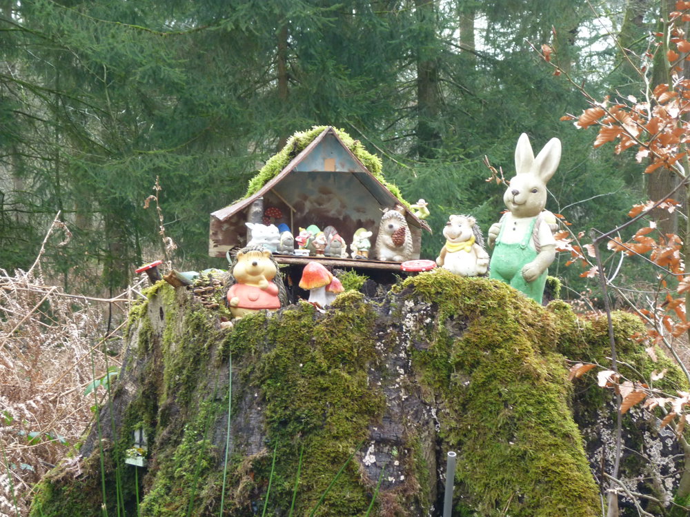
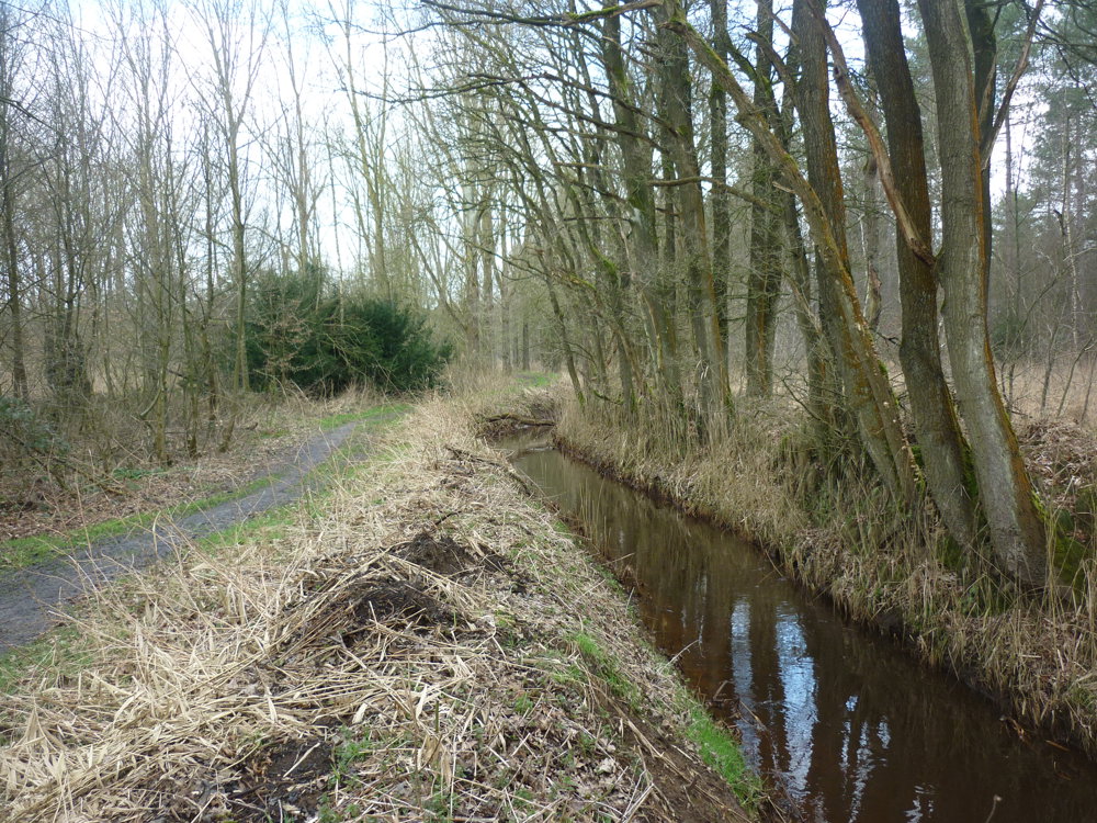
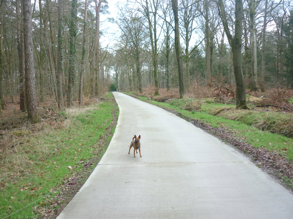
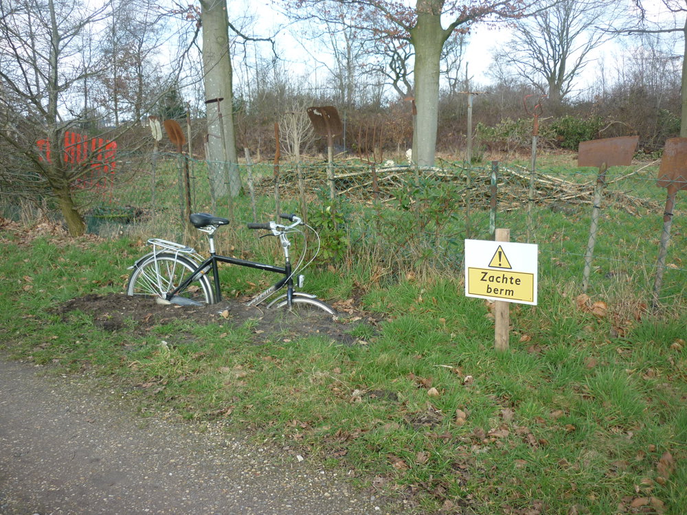
You start at the church of Vlimmeren. It is a walk that leads the walker alternately along paved roads, the center of Vlimmeren, fields, forests, and a nature reserve. You also have to deal with just a little bit of mud. ;o)

We experienced this route as something special.

More photos: https://photos.app.goo.gl/1q8djfKkTj2CXaGU7

Happy walking,
Eddy, Rita, and Prinske

automatic translation

Icon nodes to follow nodes to follow

Image node 56
0 km
Image node 16
0.3 km
Image node 21
2.2 km
Image node 19
2.6 km
Image node 18
4.2 km
Image node 14
6.1 km
Image node 20
6.5 km
Image node 13
7.1 km
Image node TP
8.3 km
Icon deviation route
8.8 km
Image node TP
8.9 km
Image node 57
10.5 km
Image node 57
10.6 km
Image node 56
11.1 km
This route does not have any reviews yet. Be the first!
Rate route!

Which POI do you want to show on the map?

Experimental hiking network
Unsigned icon

The route you have chosen runs (partly) along an experimental virtual hiking node network (the blue-coloured nodes and sections on the map).

You must be logged in to plan routes here.

Experimental hiking network
Unsigned icon

The route you have chosen runs (partly) along an experimental virtual hiking node network (the blue-coloured nodes and sections on the map).

These routes are not controlled in the field. Before you start hiking here, take a minute to read what an experimental hiking node network is and what rules you should follow when hiking here.

By clicking 'Accept all cookies,' you agree to the use of cookies for an enhanced user experience, website traffic analysis, and personalized advertisements. Cookie policy