 Hiking
 Login
Login More
More EN
EN Premium
Büderscheid <> Roullingen
automatic translation
10.5 km • Goesdorf
230 0 0/5

 Addresse starting point (approximate)
Duerfstrooss 4, 9643 Goesdorf, LU
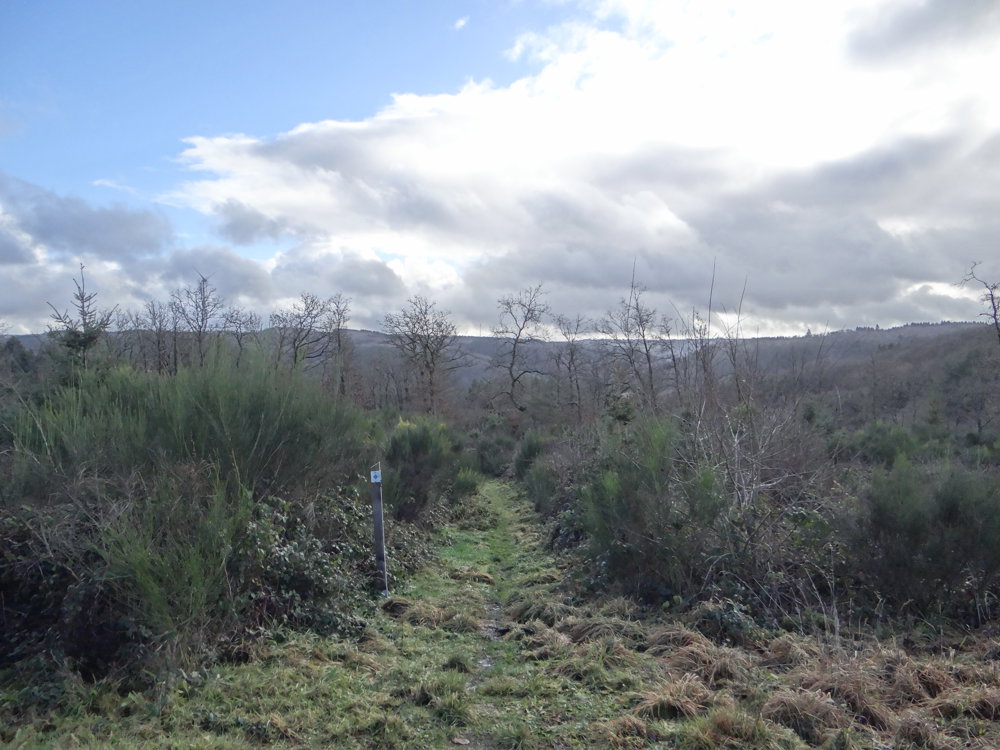
 signage
The route is not signposted. Use a GPS device or our app to follow the route.
 Description
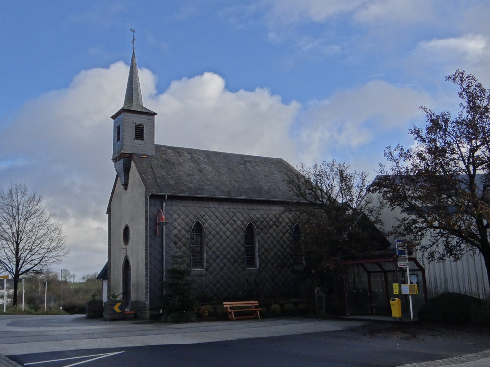
The departure is at the bus stop in the Duerfstrooss in Büderscheid.
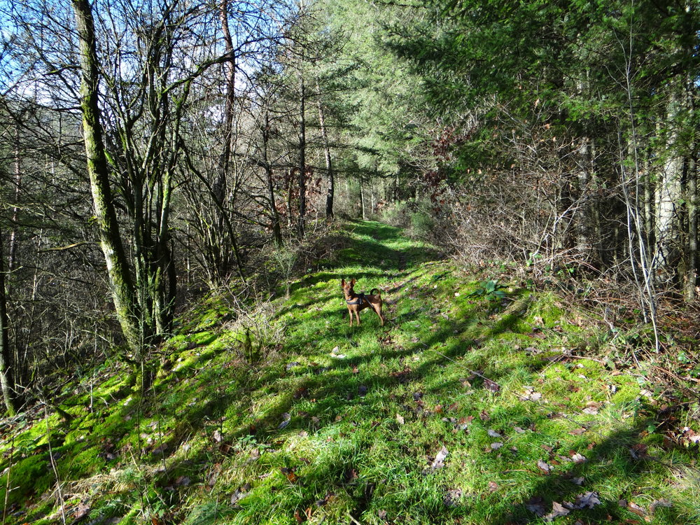
Via a short access route, you arrive on the N12, which you briefly follow before quickly turning left onto an unpaved path.
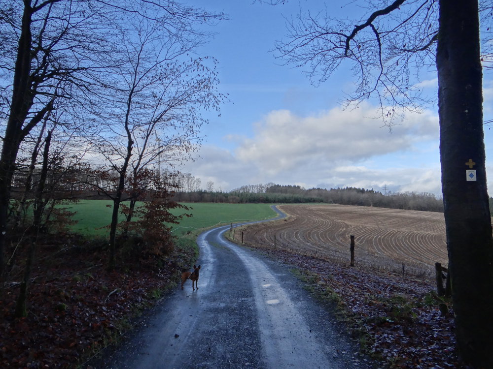
For this route, we used various trails. We walked the loop clockwise and first followed a bit of the AP Büderscheid. At Roullingen, the MTB-route Wiltz 1 is briefly followed before proceeding via an unmarked paved road to the CR321, a relatively busy connecting road. This might be a minor drawback, but unfortunately, there was no alternative. You follow the CR321 for 700 m to turn left onto a partially paved path. Here you pick up the MTB-route Goesdorf, which brings you back to the starting point.
Not a spectacular walk, but here and there some nice views and lots of nature, of course.
More photos: https://photos.app.goo.gl/iJkTWyTeChUdTtUd8
Happy hiking, Eddy, Rita, and Prinske
automatic translation


 Upgrade to Premium Plus
