Loading...

Hike De Klijte (Heuvelland BE) - 16 km

automatic translation

16.2 km • Heuvelland

2061 0 0/5

16.2 km 0.0 km 0.0 km
10 km
© OpenStreetMap contributors, Tracestrack

route offered by

Ingrid Tiersen

Icon starting point Addresse starting point (approximate)

Kleikouter 54, 8954 Heuvelland, BE

Icon type signage of route signage

The route is fully signposted with nodes.

114.9 m 114.1 m 69.4 m 24.5 m These values indicate respectively the number of meters to rise, the highest and the lowest point in meters.
Atmosphere image 1 of route Hike De Klijte (Heuvelland BE) - 16 km
© Ingrid Tiersen

Icon description route Description

This route is perfect for those who like to walk at a brisk pace. The mostly paved paths make this an ideal walking training.

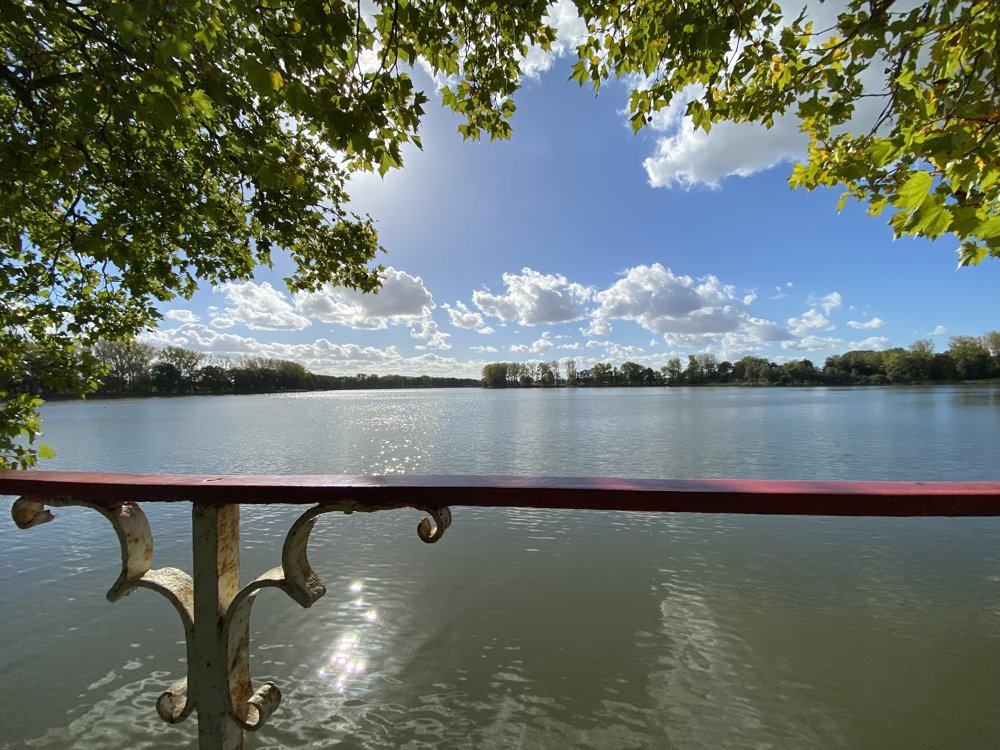
Along the way, you will be rewarded with peace and views of the Kemmelberg and Ypres. The loop around the Dikkebus Pond is 1.5 km (included).

🏃‍♂️ Start: De Klijte (follow to KP14) or Dikkebus (follow to KP75) or at Dikkebus Pond itself (follow to KP56).

🌿 Surface: only 3 km unpaved, ideal after a rainy period or for those who don't like mud.

🥾 Note: countryside walk: no shops along the way.

Happy walking!

Ingrid

automatic translation

Icon nodes to follow nodes to follow

Image node 14
0 km
Image node 53
0.6 km
Image node 54
1 km
Image node 55
2 km
Image node 92
3.1 km
Image node 91
3.4 km
Image node 78
4.1 km
Image node 93
4.5 km
Image node 51
5.6 km
Image node 52
6.1 km
Image node 54
7 km
Image node 57
7.7 km
Image node 56
8.1 km
Image node 55
9.5 km
Image node 75
11.8 km
Image node 82
14 km
Image node 83
15.2 km
Image node 14
16.2 km
This route does not have any reviews yet. Be the first!
Rate route!

Which POI do you want to show on the map?

Experimental hiking network
Unsigned icon

The route you have chosen runs (partly) along an experimental virtual hiking node network (the blue-coloured nodes and sections on the map).

You must be logged in to plan routes here.

Experimental hiking network
Unsigned icon

The route you have chosen runs (partly) along an experimental virtual hiking node network (the blue-coloured nodes and sections on the map).

These routes are not controlled in the field. Before you start hiking here, take a minute to read what an experimental hiking node network is and what rules you should follow when hiking here.

By clicking 'Accept all cookies,' you agree to the use of cookies for an enhanced user experience, website traffic analysis, and personalized advertisements. Cookie policy