 Hiking
 Login
Login More
More EN
EN Premium
Natural Park Haute-Sûre Anlier Forest
automatic translation
14.6 km • Martelange
640 0 0/5

 Addresse starting point (approximate)
Chemin d'Im Wohr 4, 6630 Martelange, BE
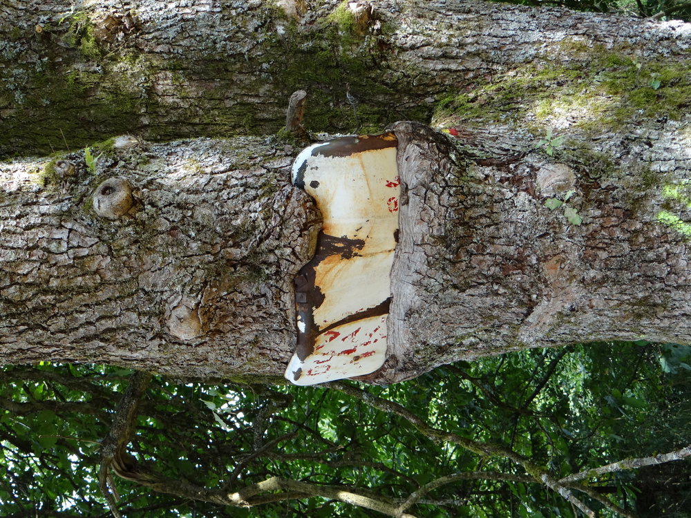
 signage
The route is partially signposted with thematic signs (no nodes). Use a GPS device or our app to follow the route.
 Description
Parking is available at the large parking lot of the cultural center on Rue de Radelange (N848).
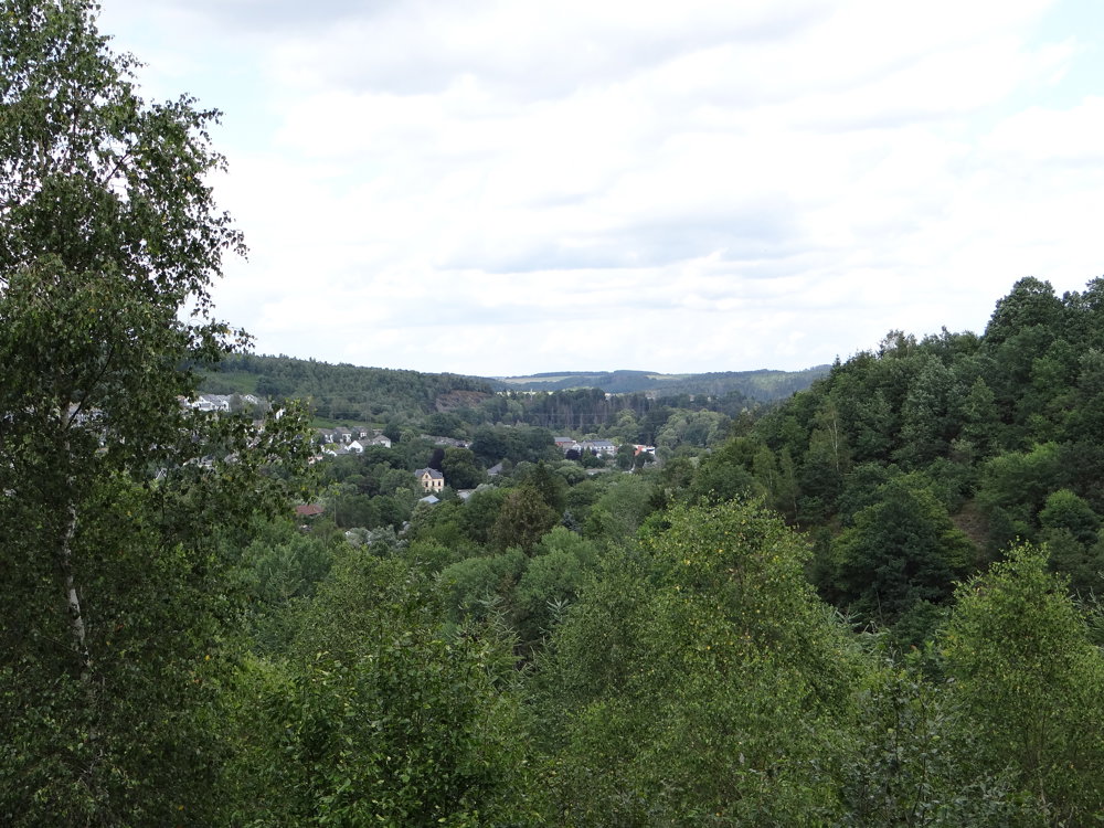
We walked this route counterclockwise. It is a beautiful hike that runs almost entirely through the ‘Haute-Sûre Forêt d'Anlier’ nature park.
The ‘Haute-Sûre Forêt d'Anlier’ nature park is located in the Ardennes, in the Walloon province of Luxembourg. The park covers 833 square kilometers and is located in the municipalities of Bastogne, Vaux-sur-Sûre, Fauvillers, Habay, Martelange, Léglise, and Neufchâteau.
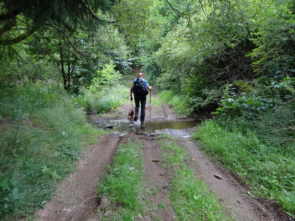
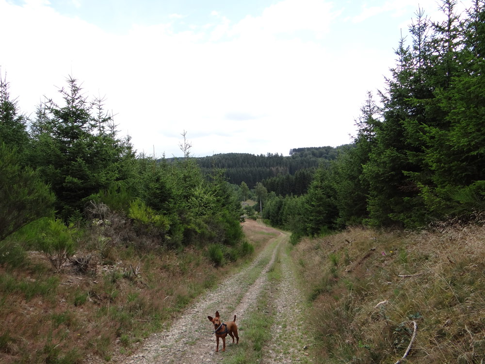
For the route, we used several marked trails.
A map and/or GPS track are therefore indispensable to walk this route. All paths are easily accessible.
More photos: https://photos.app.goo.gl/GdR8NaMjXFBQfscK8
Enjoy this magnificent hike,
Eddy, Rita, and Prinske
automatic translation
 nodes to follow
0 km
0.1 km
0.5 km
2 km
2.4 km

2.7 km
2.7 km
2.8 km
3.7 km
4.1 km
4.2 km
4.4 km
4.4 km
6.3 km
8.8 km
9.3 km
10.3 km
10.8 km
11.5 km
12.1 km
12.6 km
12.6 km
13.9 km
14.1 km
14.6 km


 Upgrade to Premium Plus
