 Hiking
 Login
Login More
More EN
EN Premium
Panoramic Beidweiler
automatic translation
11.6 km • Junglinster
160 0 0/5

 Addresse starting point (approximate)
Rue de la Station 1, 6235 Junglinster, LU
 signage
The route is not signposted. Use a GPS device or our app to follow the route.
 Description
The route is composed based on the local walks J21, J22, and J24. It is 80% paved.
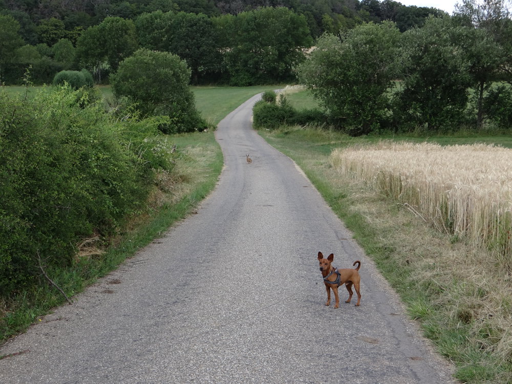
We parked and started from the parking lot at the cemetery of Beidweiler. For the route, we didn’t always follow the markings but the roads are accessible everywhere. We did the loop clockwise, which allowed us to climb a bit before descending to the village of Eschweiler.
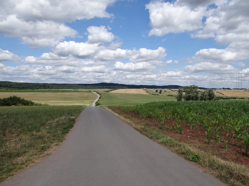
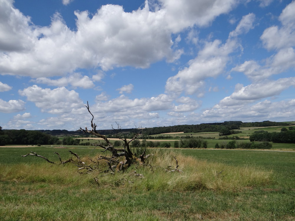
Beautiful views accompanied us from start to finish of the route. The three broadcasting antennas of RTL are dominantly present and visible almost throughout the route.
We followed a connecting section between PC4 and PC2 (cycling routes) to reach PC2. The PC2 consists of the old railway line Luxembourg-Echternach. In Rippig, we could still see the old stop with its covered waiting shelter.
Enjoying the beautiful views, we returned to the starting point.
More photos: https://photos.app.goo.gl/QKnZ6LJJ9HRJTJtf8
Happy hiking!
Eddy, Rita, and Prinske
automatic translation


 Upgrade to Premium Plus
