Loading...

Auto-Pedestrian Bourglinster

automatic translation

8 km • Junglinster

190 0 0/5

8 km 0.0 km 0.0 km
10 km
© OpenStreetMap contributors, Tracestrack

route offered by

Eddy & Rita

Icon starting point Addresse starting point (approximate)

Rue De Gonderange 2, 6161 Junglinster, LU

Icon type signage of route signage

The route is fully signposted with thematic signs (no nodes).

165 m 149.6 m 407 m 310.2 m These values indicate respectively the number of meters to rise, the highest and the lowest point in meters.
Atmosphere image 1 of route Auto-Pedestrian Bourglinster Atmosphere image 2 of route Auto-Pedestrian Bourglinster Atmosphere image 3 of route Auto-Pedestrian Bourglinster
© Eddy & Rita

Icon description route Description

Signs in one direction: blue flag on a white background

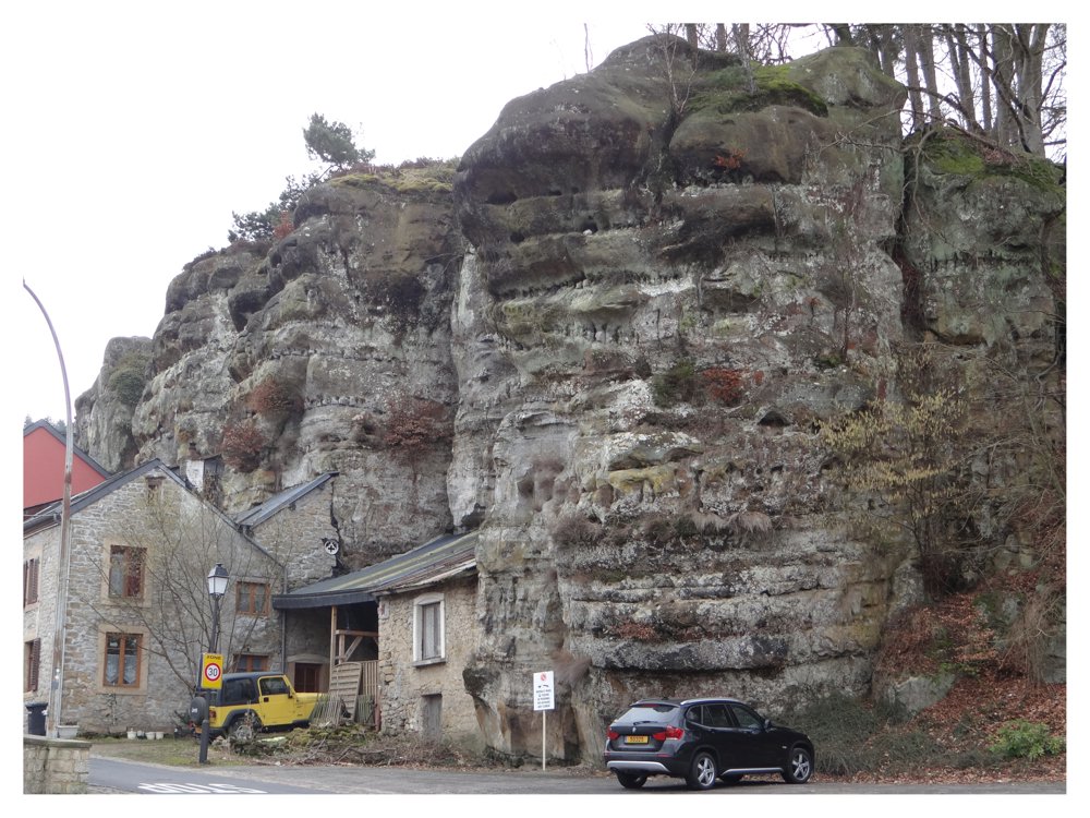
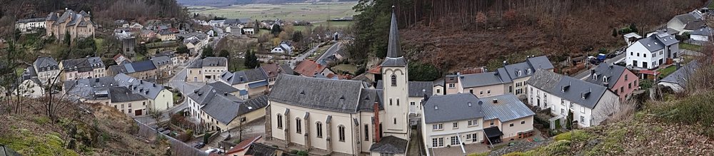
We depart from the village square of 'Bourglinster'. We take a road heading north towards the forest ‘Buchholz’.

We pass through the village ‘Eisenborn’ and then head back into the woods. We follow a bit of asphalt road and before arriving back at ‘Bourglinster’, we walk through the forest ‘Baambësch’ around the village.

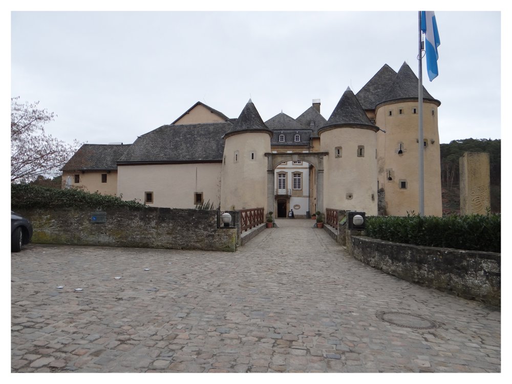
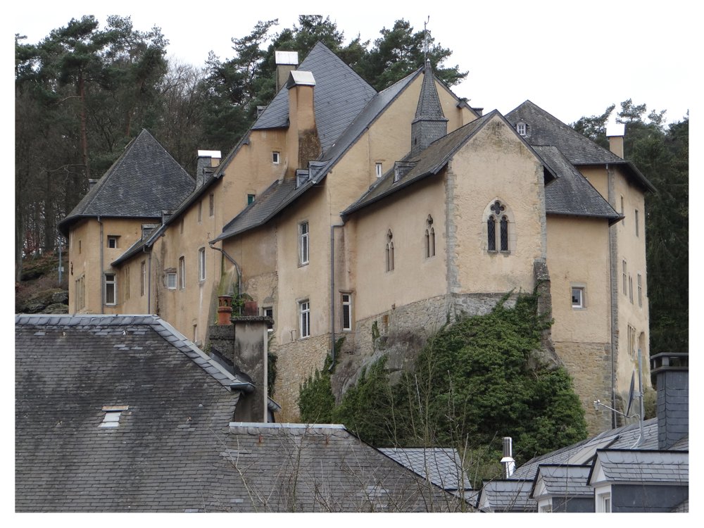
Here and there are different viewpoints offering a beautiful view of the village. Further on, we pass by the castle of ‘Bourglinster’ which is definitely worth a visit.

More photos: https://photos.app.goo.gl/vrk8vas2YdiCLN8B8

Enjoy your walk,
Eddy, Rita, and Prinske

automatic translation

This route does not have any reviews yet. Be the first!
Rate route!

Which POI do you want to show on the map?

Experimental hiking network
Unsigned icon

The route you have chosen runs (partly) along an experimental virtual hiking node network (the blue-coloured nodes and sections on the map).

You must be logged in to plan routes here.

Experimental hiking network
Unsigned icon

The route you have chosen runs (partly) along an experimental virtual hiking node network (the blue-coloured nodes and sections on the map).

These routes are not controlled in the field. Before you start hiking here, take a minute to read what an experimental hiking node network is and what rules you should follow when hiking here.

By clicking 'Accept all cookies,' you agree to the use of cookies for an enhanced user experience, website traffic analysis, and personalized advertisements. Cookie policy