Loading...

Auto-pedestrian Redange-Ospern

automatic translation

8 km • Redange-sur-Attert

140 0 0/5

8 km 0.0 km 0.0 km
10 km
© OpenStreetMap contributors, Tracestrack

route offered by

Eddy & Rita

Icon starting point Addresse starting point (approximate)

Grand-Rue 21, 8510 Redange/Attert, LU

Icon type signage of route signage

The route is fully signposted with thematic signs (no nodes).

150 m 134.3 m 346.5 m 258 m These values indicate respectively the number of meters to rise, the highest and the lowest point in meters.
Atmosphere image 1 of route Auto-pedestrian Redange-Ospern Atmosphere image 2 of route Auto-pedestrian Redange-Ospern Atmosphere image 3 of route Auto-pedestrian Redange-Ospern
© Eddy & Rita

Icon description route Description

Markings in one direction: blue flag on white background

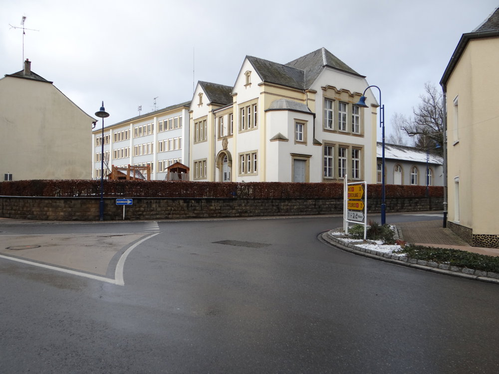
Starting point: The walk begins at the church of Rédange/Attert.

Difficulty level: The route is rated as medium, with an elevation difference of 129 meters.

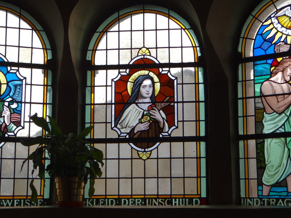
Sightseeing: Along the way, you'll pass through Rédange and Ospern and cross the Attert river at two points. You’ll also walk through the Wëldbësch, a wooded area providing shade and fresh air. The church of Rédange is certainly worth a visit.

More photos: https://photos.app.goo.gl/uoYAZCs1cRaSAufw7

Happy hiking,
Eddy, Rita, and Prinske

automatic translation

This route does not have any reviews yet. Be the first!
Rate route!

Which POI do you want to show on the map?

Experimental hiking network
Unsigned icon

The route you have chosen runs (partly) along an experimental virtual hiking node network (the blue-coloured nodes and sections on the map).

You must be logged in to plan routes here.

Experimental hiking network
Unsigned icon

The route you have chosen runs (partly) along an experimental virtual hiking node network (the blue-coloured nodes and sections on the map).

These routes are not controlled in the field. Before you start hiking here, take a minute to read what an experimental hiking node network is and what rules you should follow when hiking here.

By clicking 'Accept all cookies,' you agree to the use of cookies for an enhanced user experience, website traffic analysis, and personalized advertisements. Cookie policy