Round Betzdorf

automatic translation

8.7 km • Betzdorf

70 0 0/5

8.7 km 0.0 km 0.0 km
10 km
© OpenStreetMap contributors, Tracestrack

route offered by

Eddy & Rita

Icon starting point Addresse starting point (approximate)

Rue De La Gare 9, 6832 Betzdorf, LU

Icon type signage of route signage

The route is not signposted. Use a GPS device or our app to follow the route.

126.3 m 124.6 m 334.7 m 218.4 m
Atmosphere image 1 of route Round Betzdorf Atmosphere image 2 of route Round Betzdorf Atmosphere image 3 of route Round Betzdorf
© Eddy & Rita

Icon description route Description

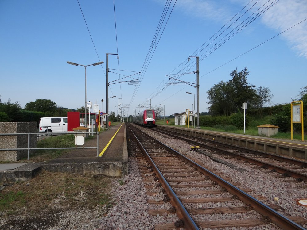
All roads and paths are accessible. The starting point is reachable by train. Public transport in Luxembourg is free.

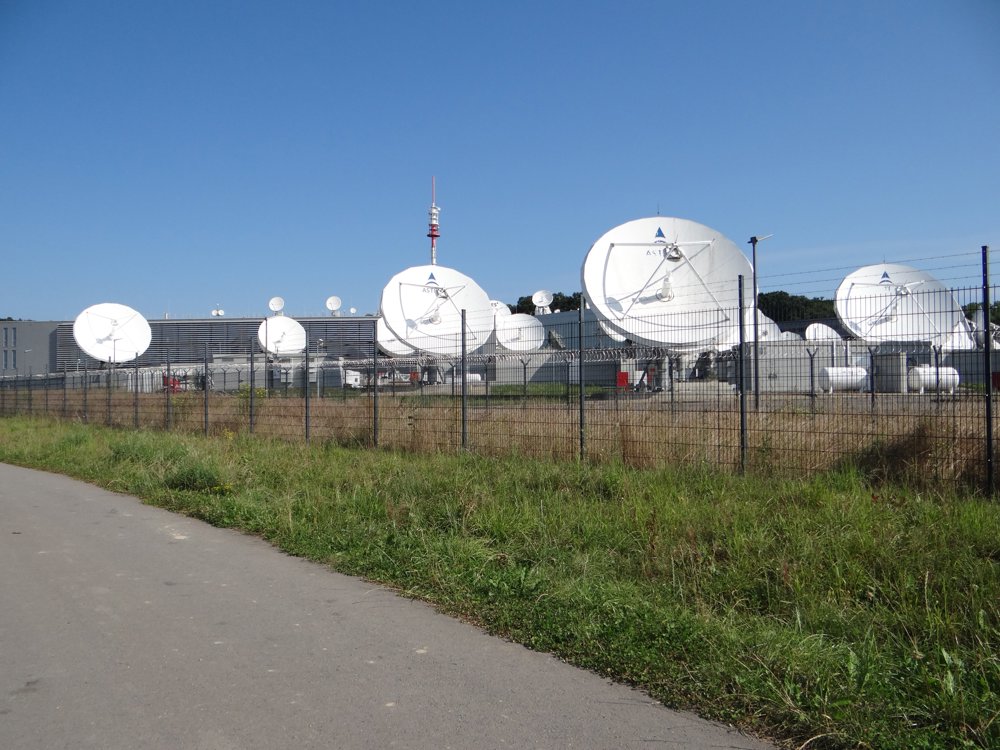
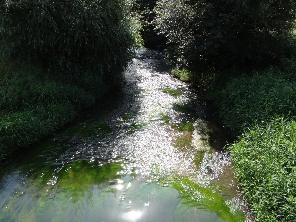
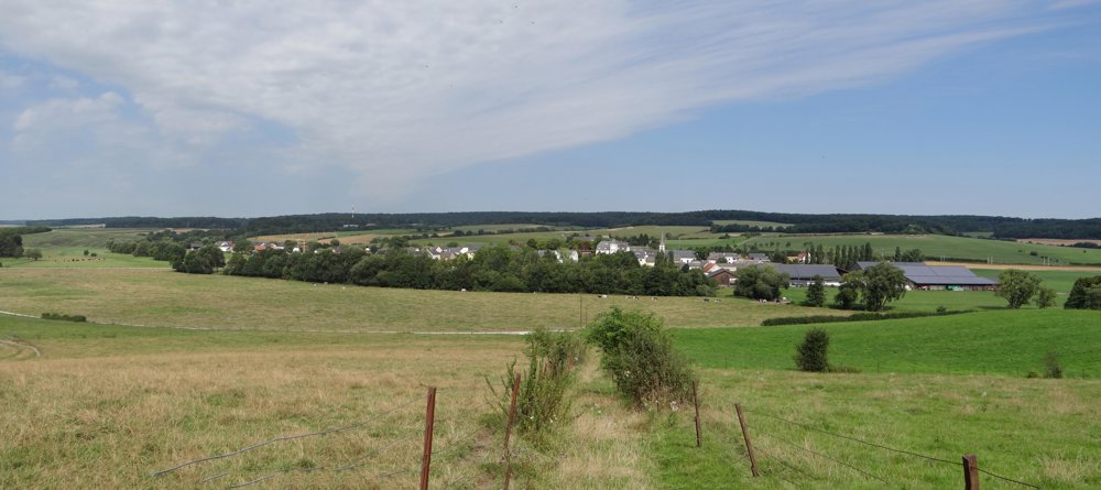
Beautiful, varied walk with stunning views over the valley of the 'Syr' and the village of 'Betzdorf'. The walk passes the 'Data Center Betzdorf'. This center has more than 40 parabolic antennas that control 19 satellites.

More photos: https://goo.gl/photos/3Z43fmHuYR9y6HLp7

Happy hiking,

Eddy, Rita, and Prinske

automatic translation

This route does not have any reviews yet. Be the first!
Rate route!

Which POI do you want to show on the map?

Experimental hiking network
Unsigned icon

The route you have chosen runs (partly) along an experimental virtual hiking node network (the blue-coloured nodes and sections on the map).

You must be logged in to plan routes here.

Experimental hiking network
Unsigned icon

The route you have chosen runs (partly) along an experimental virtual hiking node network (the blue-coloured nodes and sections on the map).

These routes are not controlled in the field. Before you start hiking here, take a minute to read what an experimental hiking node network is and what rules you should follow when hiking here.

By clicking 'Accept all cookies,' you agree to the use of cookies for an enhanced user experience, website traffic analysis, and personalized advertisements. Cookie policy