Loading...

Auto-pedestrian Altrier

automatic translation

12 km • Bech

50 0 0/5

12 km 0.0 km 0.0 km
10 km
© OpenStreetMap contributors, Tracestrack

route offered by

Eddy & Rita

Icon starting point Addresse starting point (approximate)

Heeschbregerwee 3, 6225 Bech, LU

Icon type signage of route signage

The route is fully signposted with thematic signs (no nodes).

243.6 m 255 m 413.2 m 336.1 m These values indicate respectively the number of meters to rise, the highest and the lowest point in meters.
Atmosphere image 1 of route Auto-pedestrian Altrier Atmosphere image 2 of route Auto-pedestrian Altrier Atmosphere image 3 of route Auto-pedestrian Altrier
© Eddy & Rita

Icon description route Description

Markings in one direction: blue flag on white background

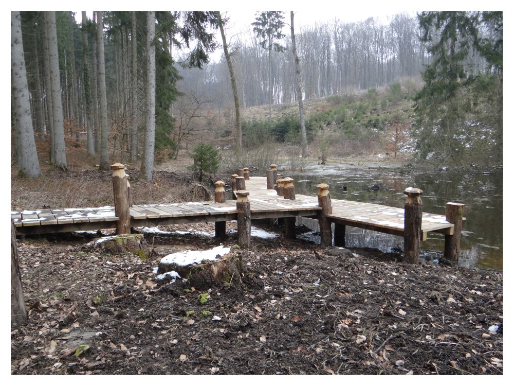
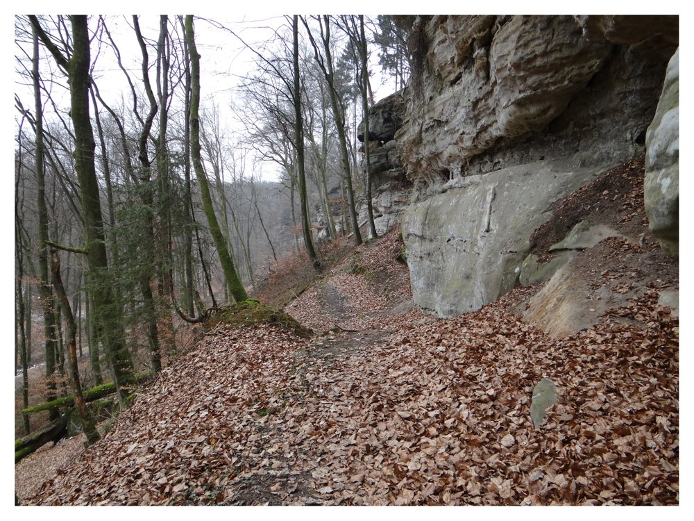
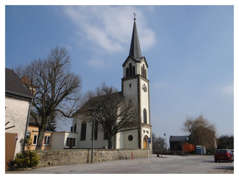
Beautiful walk starting in 'Altrier'. For the first 8 km, we alternate between walking through woods and on paved roads. We pass through the villages of 'Rippig' and 'Kobenbour'. In the last kilometers, we follow the 'Mullerthal trail', which is also the most beautiful section of this walk.

More photos: https://photos.app.goo.gl/DG9qb5C77WBWirDW8

Happy hiking,
Eddy, Rita, and Prinske

automatic translation

This route does not have any reviews yet. Be the first!
Rate route!

Which POI do you want to show on the map?

Experimental hiking network
Unsigned icon

The route you have chosen runs (partly) along an experimental virtual hiking node network (the blue-coloured nodes and sections on the map).

You must be logged in to plan routes here.

Experimental hiking network
Unsigned icon

The route you have chosen runs (partly) along an experimental virtual hiking node network (the blue-coloured nodes and sections on the map).

These routes are not controlled in the field. Before you start hiking here, take a minute to read what an experimental hiking node network is and what rules you should follow when hiking here.