Loading...

Auto-pedestrian Hollenfels

automatic translation

9.4 km • Helperknapp

190 0 0/5

9.4 km 0.0 km 0.0 km
10 km
© OpenStreetMap contributors, Tracestrack

route offered by

Eddy & Rita

Icon starting point Addresse starting point (approximate)

Rue d'Ansembourg 1, 7435 Helperknapp, LU

Icon type signage of route signage

The route is fully signposted with thematic signs (no nodes).

215.5 m 149.2 m 374.4 m 243.7 m
Atmosphere image 1 of route Auto-pedestrian Hollenfels Atmosphere image 2 of route Auto-pedestrian Hollenfels Atmosphere image 3 of route Auto-pedestrian Hollenfels
© Eddy & Rita

Icon description route Description

Signposting in one direction: blue flag on a white background

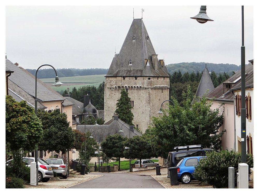
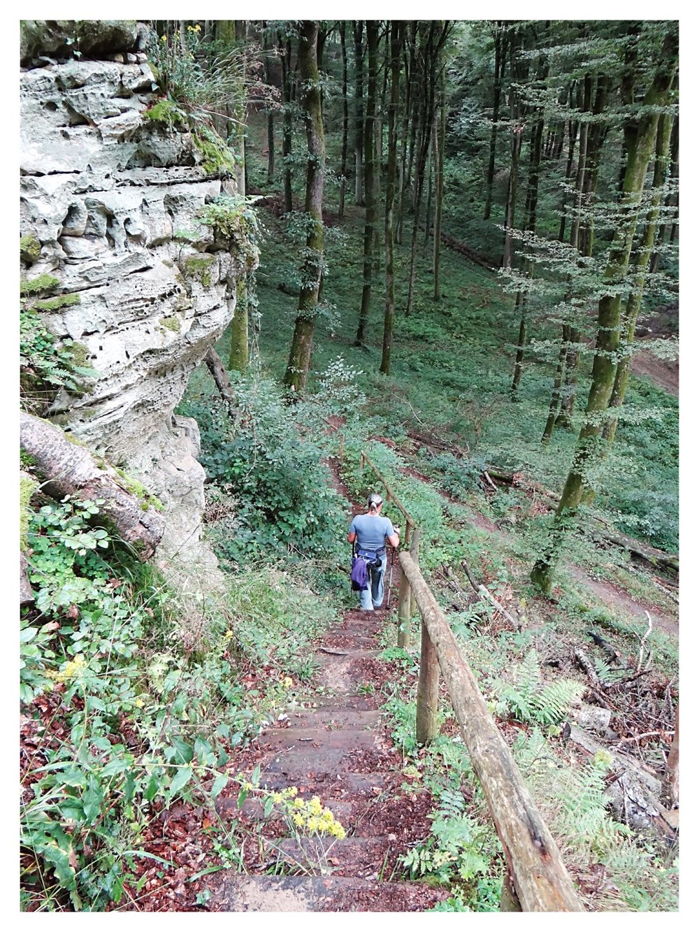
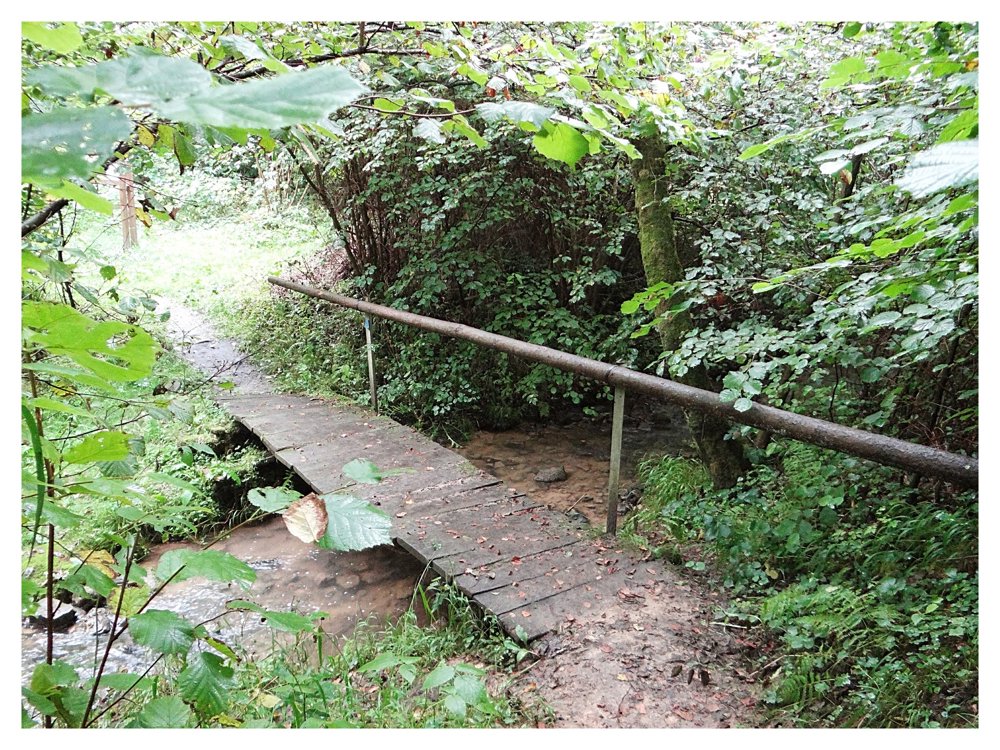
This route leads straight through the valley of the Eisch and past the Neimillen, at the mouth of the Kalbaach. To return to the starting point, this path takes you over the Bruchendall.
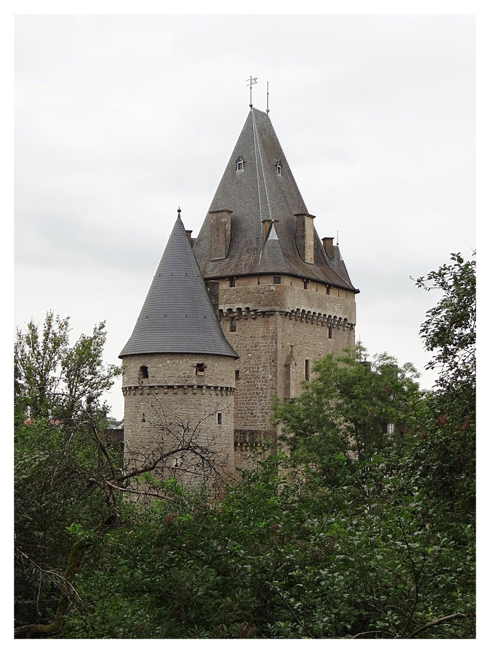
Sightseeing:
- Hollenfels Castle
- The remnants of the Neimillen

More photos: https://goo.gl/photos/1EVF27hCUF1dBDtu7

Happy hiking,
Eddy, Rita, and Prinske

automatic translation

This route does not have any reviews yet. Be the first!
Rate route!

Which POI do you want to show on the map?

Experimental hiking network
Unsigned icon

The route you have chosen runs (partly) along an experimental virtual hiking node network (the blue-coloured nodes and sections on the map).

You must be logged in to plan routes here.

Experimental hiking network
Unsigned icon

The route you have chosen runs (partly) along an experimental virtual hiking node network (the blue-coloured nodes and sections on the map).

These routes are not controlled in the field. Before you start hiking here, take a minute to read what an experimental hiking node network is and what rules you should follow when hiking here.

By clicking 'Accept all cookies,' you agree to the use of cookies for an enhanced user experience, website traffic analysis, and personalized advertisements. Cookie policy