Loading...

Auto-pedestrian Junglinster

automatic translation

9.1 km • Junglinster

80 0 0/5

9.1 km 0.0 km 0.0 km
10 km
© OpenStreetMap contributors, Tracestrack

route offered by

Eddy & Rita

Icon starting point Addresse starting point (approximate)

Rue De Bourglinster 12, 6112 Junglinster, LU

Icon type signage of route signage

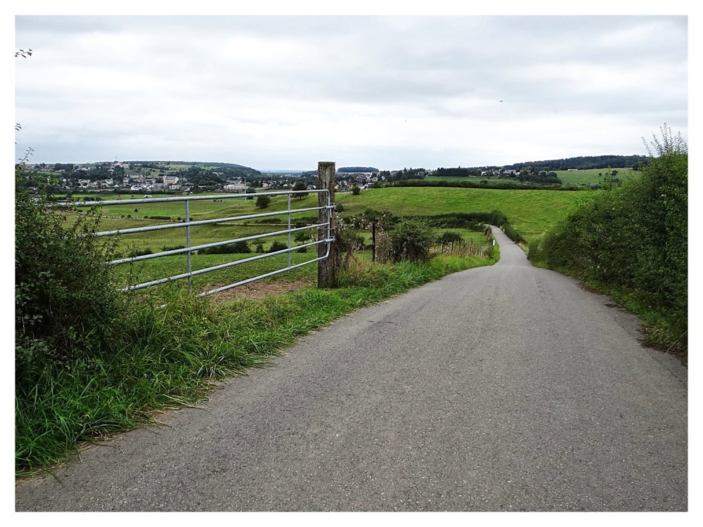
The route is fully signposted with thematic signs (no nodes).

126.9 m 153.6 m 403.9 m 301.6 m These values indicate respectively the number of meters to rise, the highest and the lowest point in meters.
Atmosphere image 1 of route Auto-pedestrian Junglinster Atmosphere image 2 of route Auto-pedestrian Junglinster Atmosphere image 3 of route Auto-pedestrian Junglinster
© Eddy & Rita

Icon description route Description

Markers in one direction: blue flag on white background

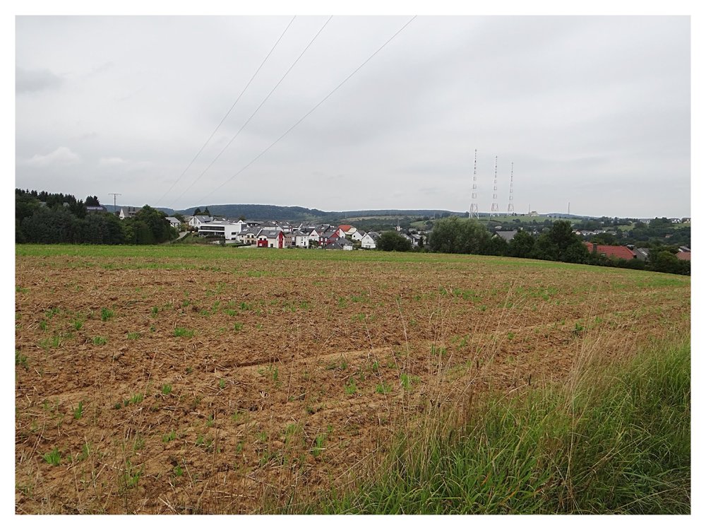
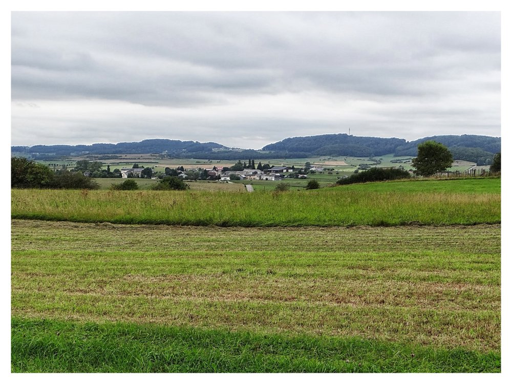
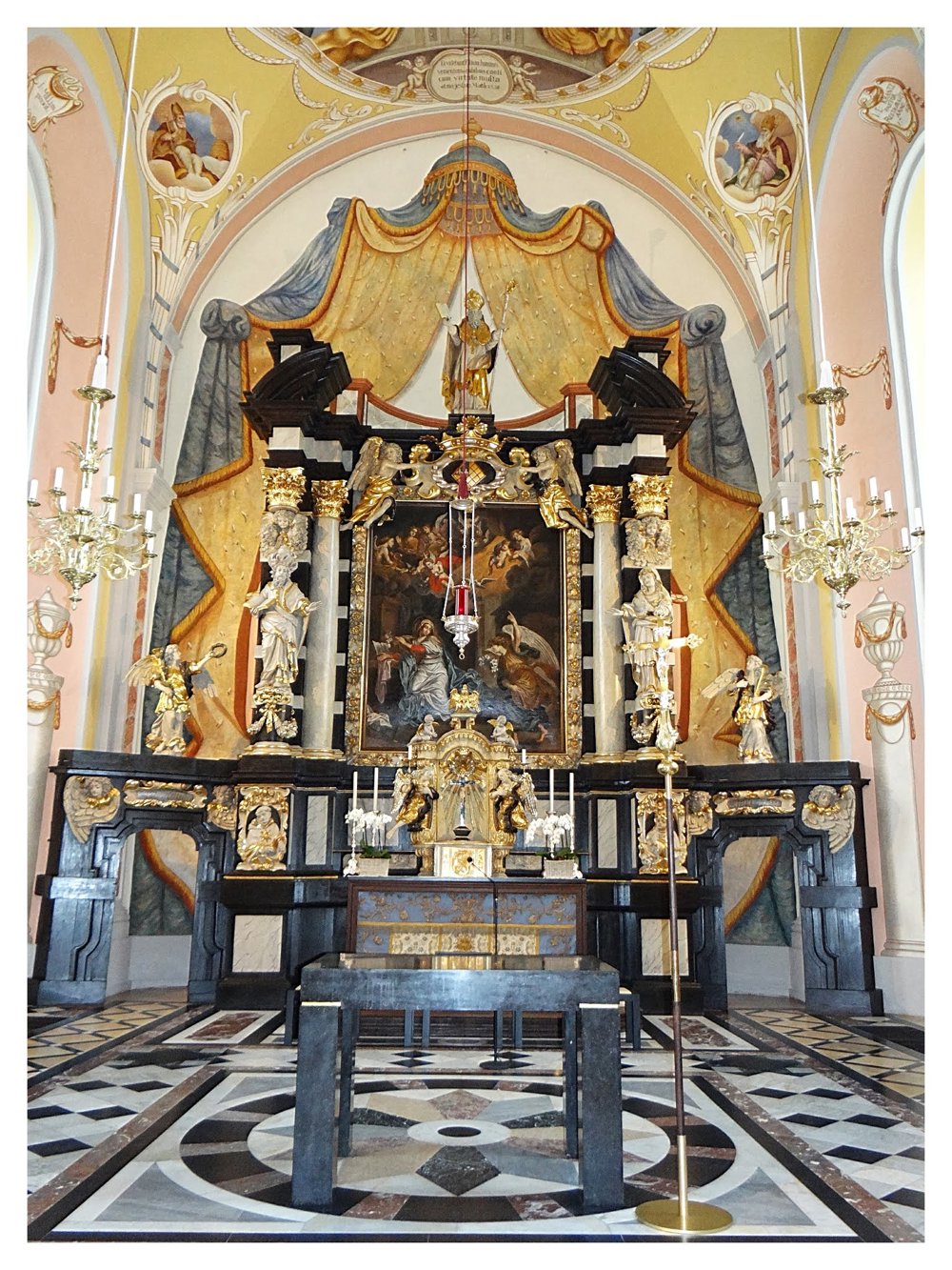
Pleasant, varied walk that runs for about 80% on paved roads. We follow the 'Rennpad' for a while, which was used in Roman times by foot or horse messengers. The church of Junglinster is certainly worth a visit.

More photos: https://goo.gl/photos/af2WQ3Qnh5zei4KPA

Enjoy the walk,
Eddy, Rita and Prinske

automatic translation

This route does not have any reviews yet. Be the first!
Rate route!

Which POI do you want to show on the map?

Experimental hiking network
Unsigned icon

The route you have chosen runs (partly) along an experimental virtual hiking node network (the blue-coloured nodes and sections on the map).

You must be logged in to plan routes here.

Experimental hiking network
Unsigned icon

The route you have chosen runs (partly) along an experimental virtual hiking node network (the blue-coloured nodes and sections on the map).

These routes are not controlled in the field. Before you start hiking here, take a minute to read what an experimental hiking node network is and what rules you should follow when hiking here.

By clicking 'Accept all cookies,' you agree to the use of cookies for an enhanced user experience, website traffic analysis, and personalized advertisements. Cookie policy