 Hiking
 Login
Login More
More EN
EN Premium
Bigonville: little calf-biter
automatic translation
10.7 km • Rambrouch
320 0 0/5

 Addresse starting point (approximate)
Rue Principale 7, 8814 Rambrouch, LU
 signage
The route is partially signposted with thematic signs (no nodes). Use a GPS device or our app to follow the route.


 Description
This is the old auto-pédestre Bigonville. The route is fully accessible.
There is just one downside: the route follows the CR310 for 1.1 km. If you don't want this, you can follow the current auto-pédestre Bigonville, which is 12.5 km long (https://www.wandelknooppunt.be/nl-be/wandelen/routes/r2254/auto-pedestre-bigonville).
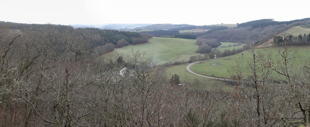
'Bigonville' is a village not far from the Belgian-Luxembourg border. During this magnificent, varied, and sporty walk, we first descend into the valley of the 'Sûre' to quickly leave it behind us. Nonetheless, the many altitude differences offer the hiker a beautiful view of the valley.
This walk follows the markings of the GR 15 for quite some time. Get your legs ready, as there are quite a few altitude differences to overcome. Good footwear and walking sticks are good friends of the hiker.
More photos: https://photos.app.goo.gl/i7DgVGCdHKim8kNz6
Happy hiking,
Eddy, Rita and Prinske
automatic translation


 Upgrade to Premium Plus
