 Hiking
 Login
Login More
More EN
EN Premium
Auto-pedestrian Kopstal
automatic translation
9.5 km • Kopstal
130 0 0/5
9.5 km
0.0 km
0.0 km
10 km
© OpenStreetMap contributors, Tracestrack

 Addresse starting point (approximate)
Rue De Mersch 1, 8181 Kopstal, LU
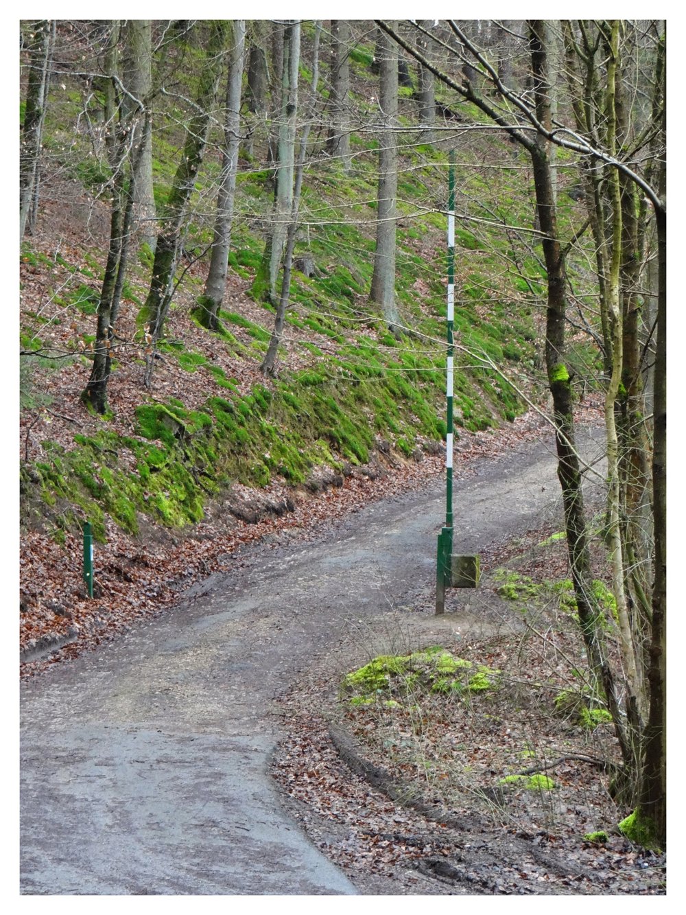
 signage
The route is fully signposted with thematic signs (no nodes).

© Eddy & Rita
 Description
Markers in one direction: blue flag on a white background
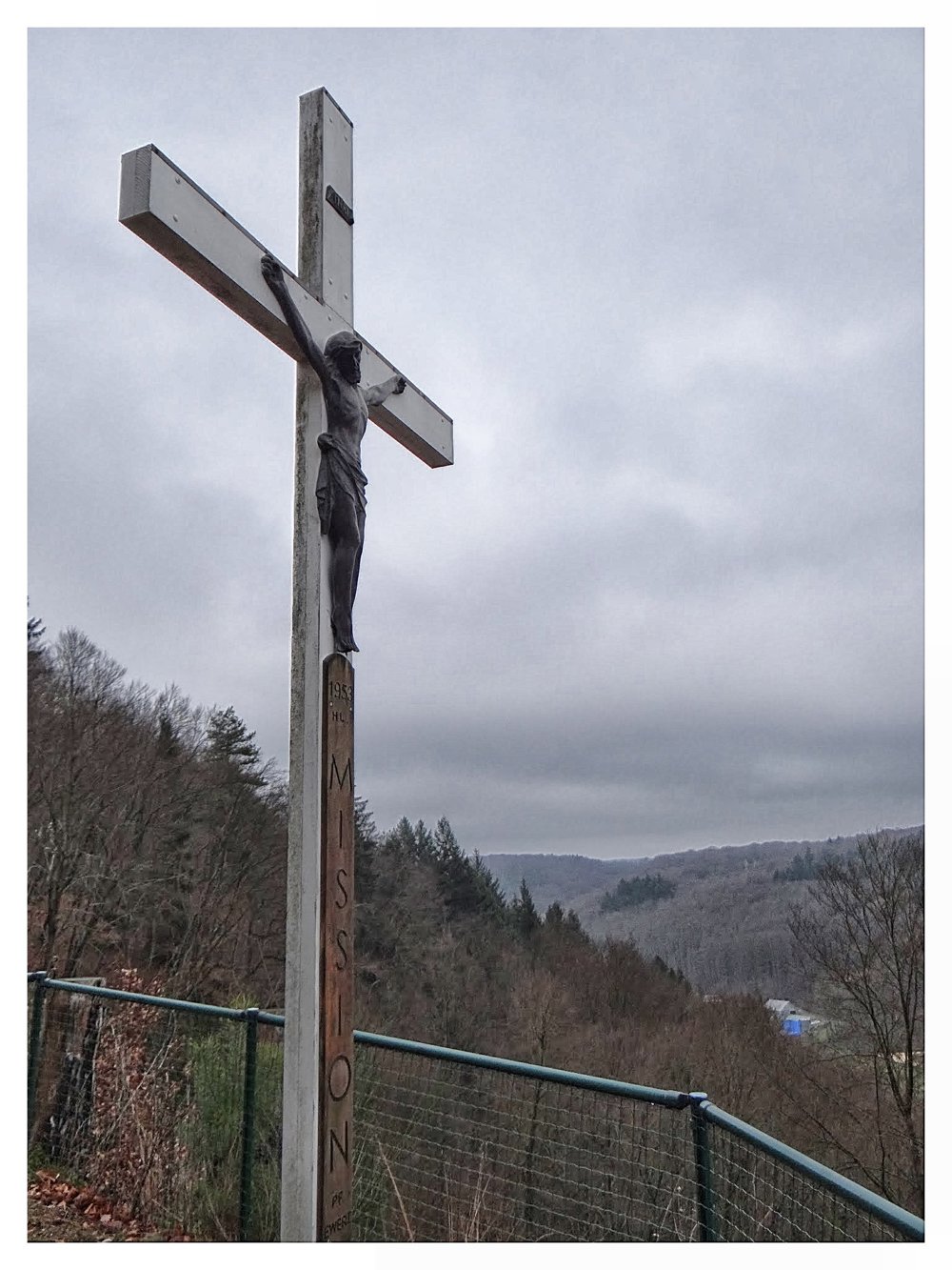
For this hike, we leave the car in a parking lot located on the N12. At the start, we immediately face a steep climb. After about 600 meters, we are rewarded at the 'Missiouns kraiz' with a beautiful view of 'Kopstal'.
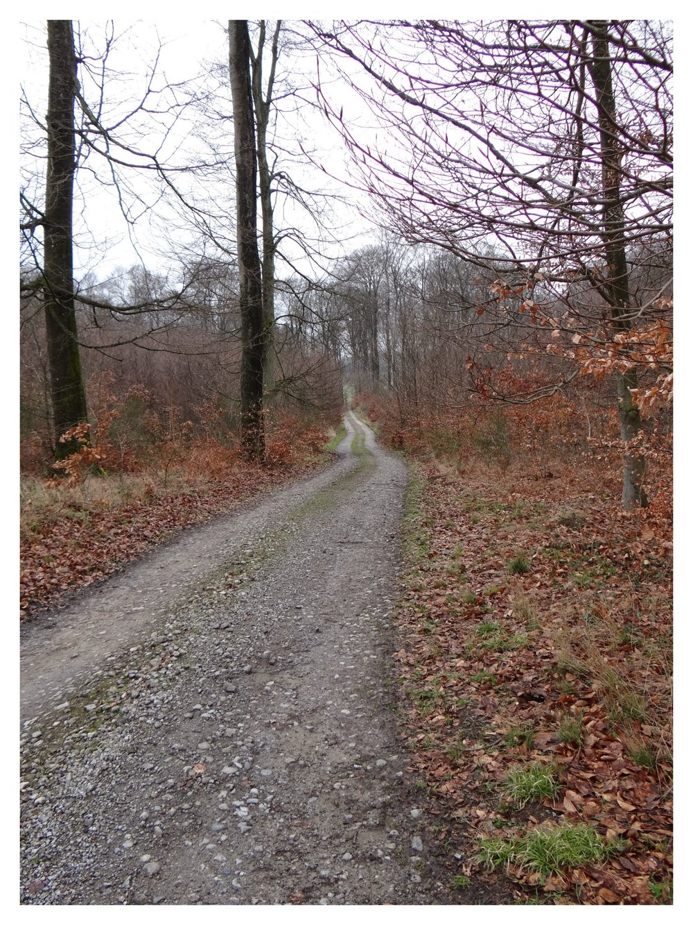
Further along, we see some beautiful rock formations. The hike goes up and down through the beautiful forest north of 'Kopstal'.
More photos: https://photos.app.goo.gl/zPDWLZjyHzuLu8sG9
Happy hiking,
Eddy, Rita, and Prinske
automatic translation


 Upgrade to Premium Plus
