Loading...

Auto-pedestrian Gréngewald

automatic translation

5 km • Niederanven

340 0 0/5

5 km 0.0 km 0.0 km
10 km
© OpenStreetMap contributors, Tracestrack

route offered by

Eddy & Rita

Icon starting point Addresse starting point (approximate)

Waldhaff 4, 2712 Niederanven, LU

Icon type signage of route signage

The route is fully signposted with thematic signs (no nodes).

77.3 m 101 m 439.3 m 370.2 m These values indicate respectively the number of meters to rise, the highest and the lowest point in meters.
Atmosphere image 1 of route Auto-pedestrian Gréngewald Atmosphere image 2 of route Auto-pedestrian Gréngewald Atmosphere image 3 of route Auto-pedestrian Gréngewald
© Eddy & Rita

Icon description route Description

Markings in one direction: blue flag on white background

Parking is available at a hiking parking lot along the CR125. The 'Gréngewald' or 'Grünewald' is a vast forest area of approximately 3300 hectares, extending from 'Findel' airport in the south to 'Bourglinster' in the north, the 'Alzettedal' in the west, and 'Senningen' in the east.

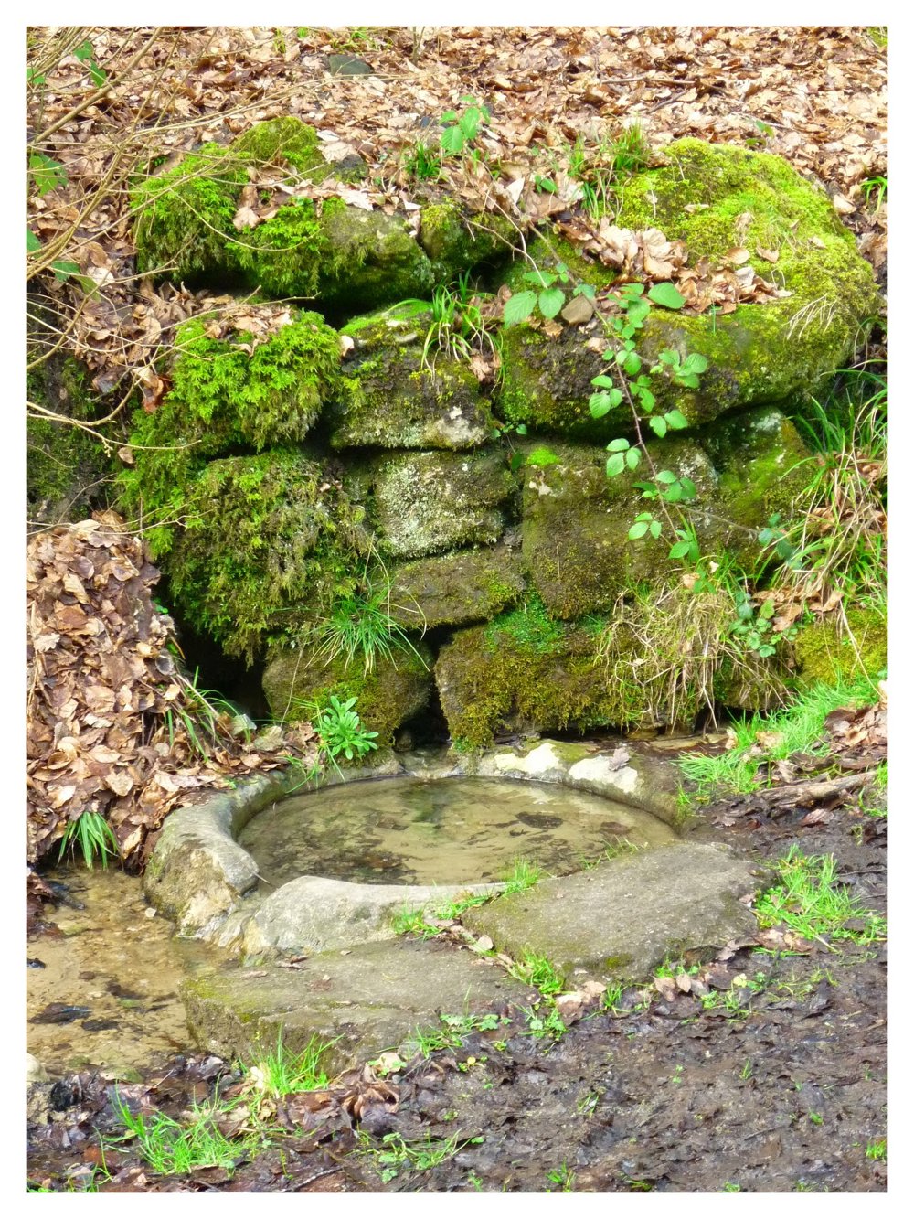
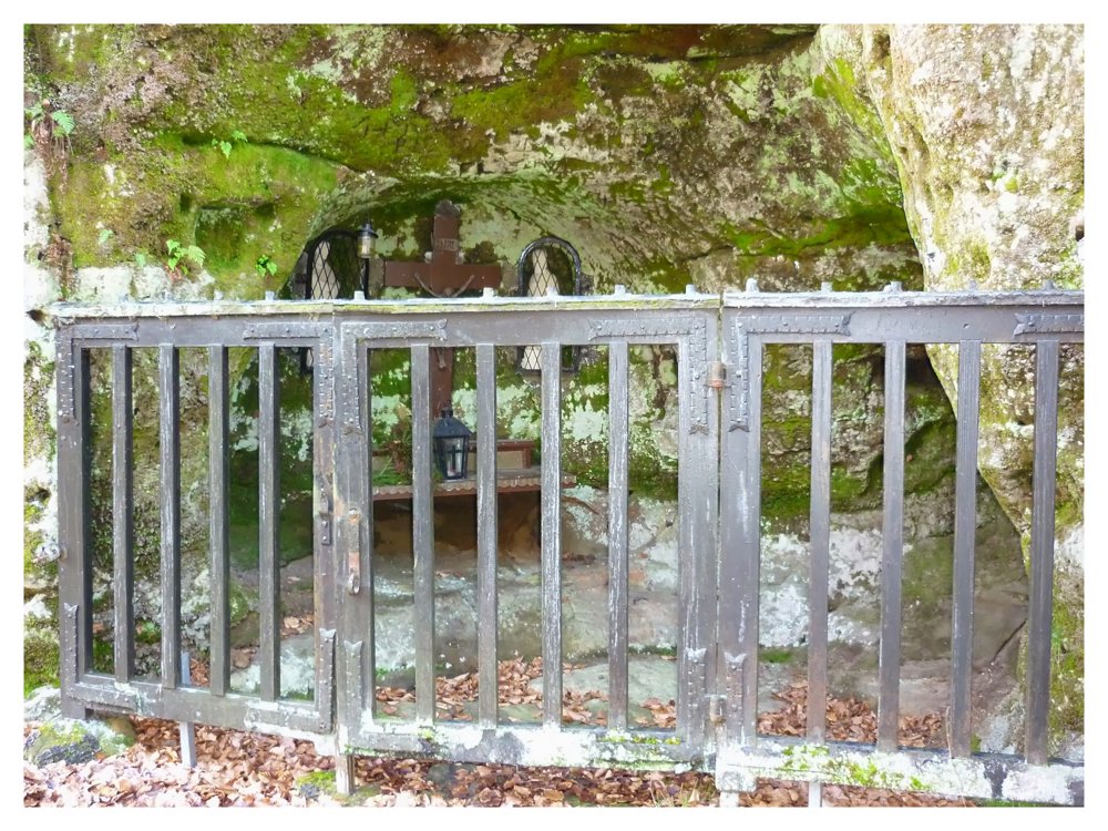
This short walk takes place entirely on unpaved paths. The 'Schetzel kluis', which we find with a 100 m detour, is definitely worth a visit. A little further on, the source of the 'Witte Ernz' can be admired.

More photos: https://photos.app.goo.gl/uEY6guePF4Nb7WXN9

Happy hiking,
Eddy, Rita, and Prinske

automatic translation

This route does not have any reviews yet. Be the first!
Rate route!

Which POI do you want to show on the map?

Experimental hiking network
Unsigned icon

The route you have chosen runs (partly) along an experimental virtual hiking node network (the blue-coloured nodes and sections on the map).

You must be logged in to plan routes here.

Experimental hiking network
Unsigned icon

The route you have chosen runs (partly) along an experimental virtual hiking node network (the blue-coloured nodes and sections on the map).

These routes are not controlled in the field. Before you start hiking here, take a minute to read what an experimental hiking node network is and what rules you should follow when hiking here.

By clicking 'Accept all cookies,' you agree to the use of cookies for an enhanced user experience, website traffic analysis, and personalized advertisements. Cookie policy