 Hiking
 Login
Login More
More EN
EN Premium
Forest-Rich Senningen
automatic translation
10.8 km • Niederanven
150 0 0/5

 Addresse starting point (approximate)
Rue Du Coin 7A, 6976 Niederanven, LU
 signage
The route is not signposted. Use a GPS device or our app to follow the route.
 Description
We parked the car at Stade Jos Becker.
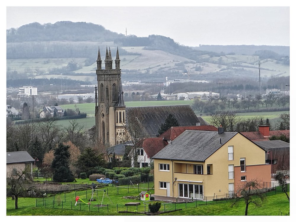
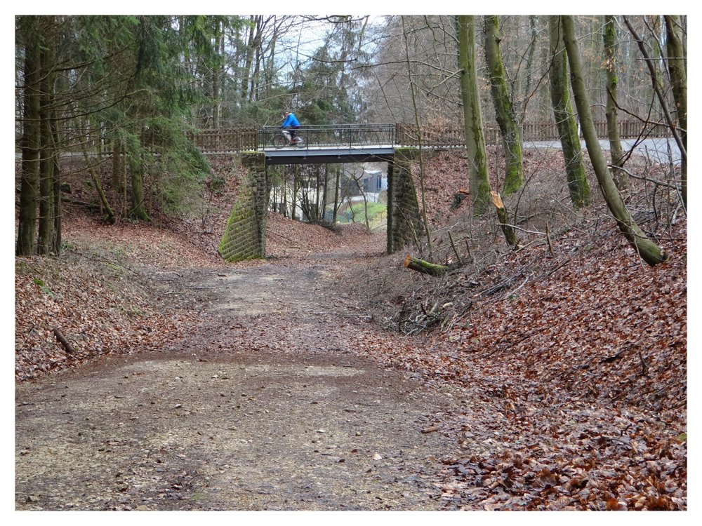
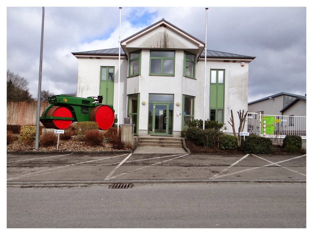
We walked this loop clockwise and had about 5 km of paved roads under our feet. We are not fans of paved roads, but there was a lot to see that made us forget the paved roads. At 'Hostert', we were able to admire the small but beautiful station. Train tracks were no longer visible, but there were paved cycling and walking paths. Beautiful panoramas abound. The small church in the cemetery. A piece of industrial area that strangely enough charmed us, simply because of the beautiful buildings.
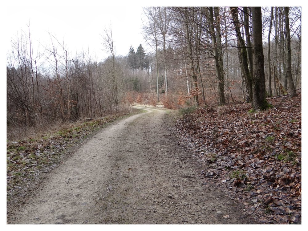
Once past the scout chalet, you enter the beautiful 'Grünewald', which you won't leave for the next 5 km until you arrive back at the starting point.
More photos: https://photos.app.goo.gl/pD8WPyuSgJxAkbNc7
Happy hiking,
Eddy, Rita, and Prinske
automatic translation


 Upgrade to Premium Plus
