 Hiking
 Login
Login More
More EN
EN Premium
Auto-pedestrian Stolzembourg
automatic translation
7.5 km • Putscheid
60 0 0/5

 Addresse starting point (approximate)
Rue Principale 15, 9463 Putscheid, LU
 signage
The route is fully signposted with thematic signs (no nodes).
 Description
Marking: blue diamond on white.
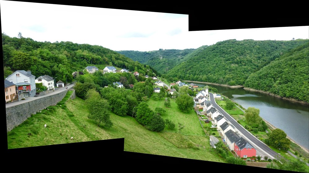
‘Stolzembourg’ is a small but beautiful village located on the ‘Our’. The ‘Our’ forms a natural boundary here between ‘Luxembourg’ and ‘Germany’.
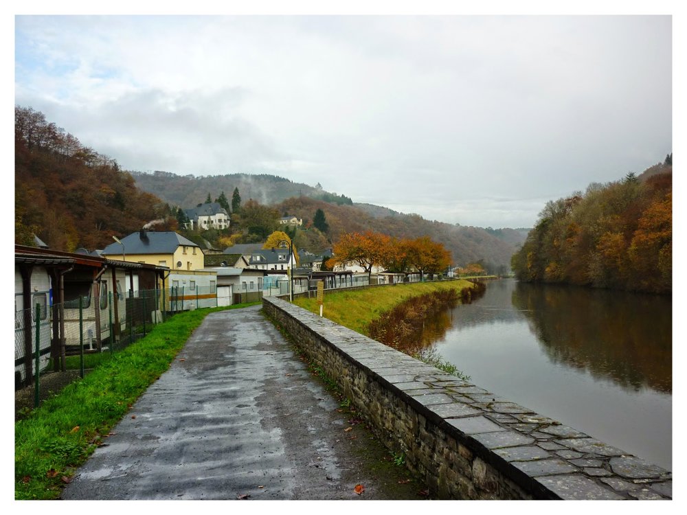
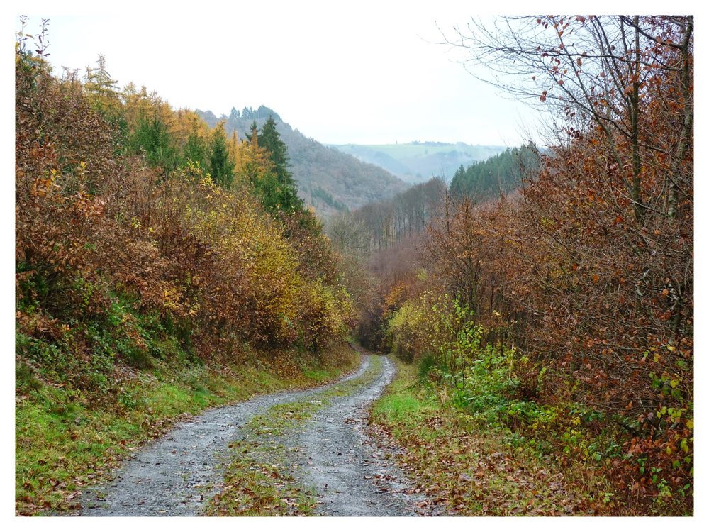
For this walk, which takes us through the beautiful forests to the west of ‘Stolzembourg’, we parked our car on the ‘Rue Principale (N 10)’. We did the walk counterclockwise, first walking 400 m along the bank of the ‘Our’ before crossing the N10 and ascending towards ‘Putscheid’. On this route, we passed by the copper mine of ‘Stolzembourg’, which can be visited with a guide.
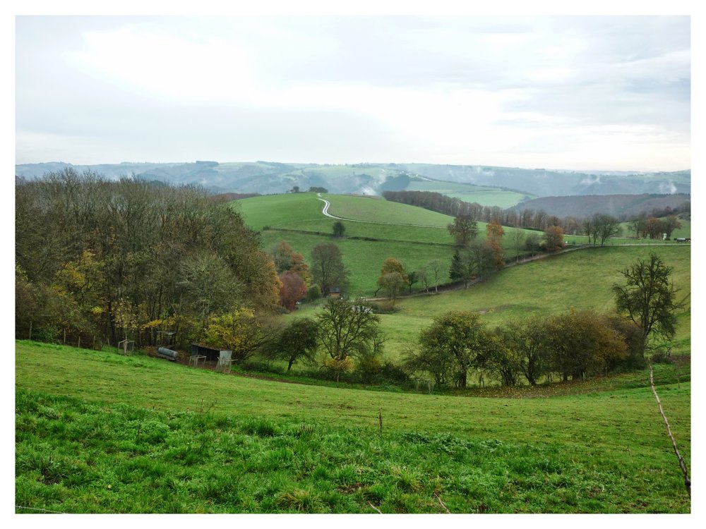
After ‘Putscheid’, the walk briefly headed southwest before descending northeast back to ‘Stolzembourg’. During this descent, we followed the idyllic stream ‘Ammeschterbaach’ to eventually return to ‘Stolzembourg’.
More photos: https://photos.app.goo.gl/a2y2eGRmW9WTohFv5
Happy walking,
Eddy, Rita, and Prinske
automatic translation


 Upgrade to Premium Plus
