Loading...

Nat-Our Route 1

automatic translation

12.7 km • Eifelkreis Bitburg-Prüm

310 0 0/5

12.7 km 0.0 km 0.0 km
10 km
© OpenStreetMap contributors, Tracestrack

route offered by

Eddy & Rita

Icon starting point Addresse starting point (approximate)

Maison 1, 9758 Clervaux, LU

Icon type signage of route signage

The route is fully signposted with thematic signs (no nodes).

343.6 m 306.5 m 419.4 m 303.1 m These values indicate respectively the number of meters to rise, the highest and the lowest point in meters.
Atmosphere image 1 of route Nat-Our Route 1 Atmosphere image 2 of route Nat-Our Route 1 Atmosphere image 3 of route Nat-Our Route 1
© Eddy & Rita

Icon description route Description

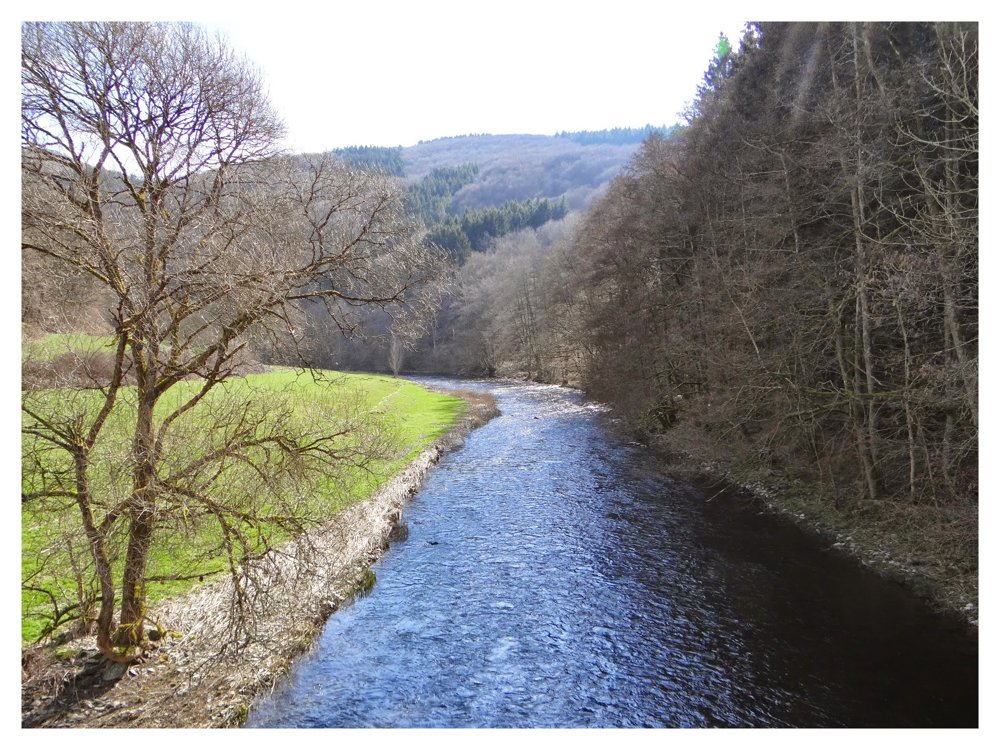
Beautiful cross-border route that follows the banks of the Our entirely.

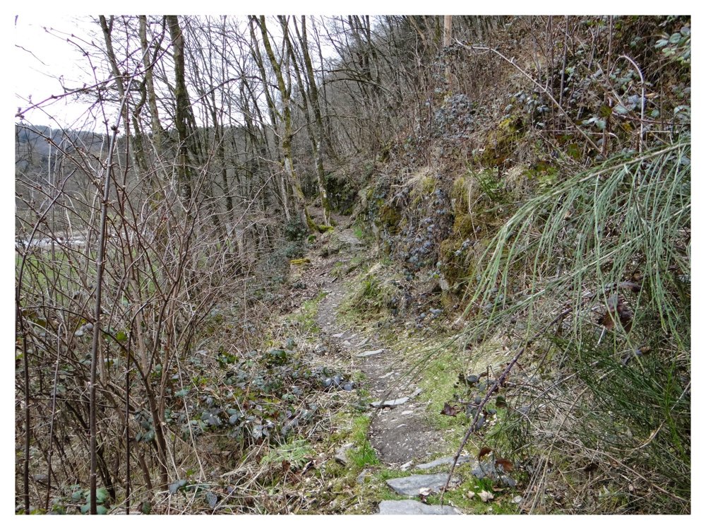
We parked the car at camping 'Tintesmühle' and set off along the German bank of the Our. On this side, you mainly walk through the forest, with views of the 'Moulin de Kalborn' on the Luxembourg side.

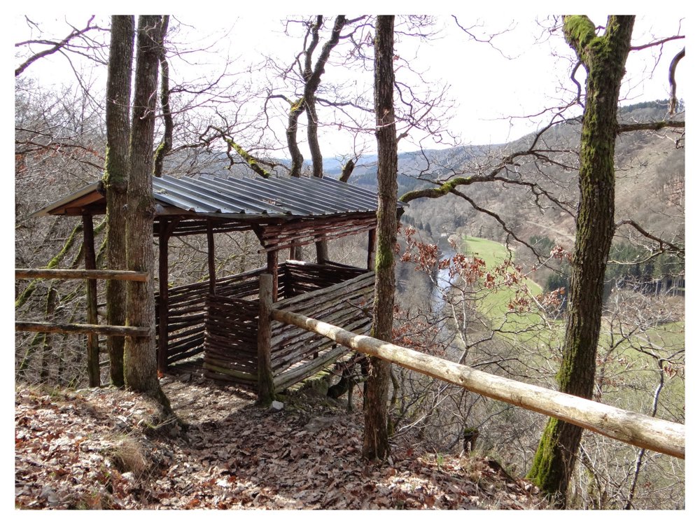
After about 5 km and a short, steep climb, you reach the 'Königslei' viewpoint, where you are rewarded with a stunning view of the Our Valley.

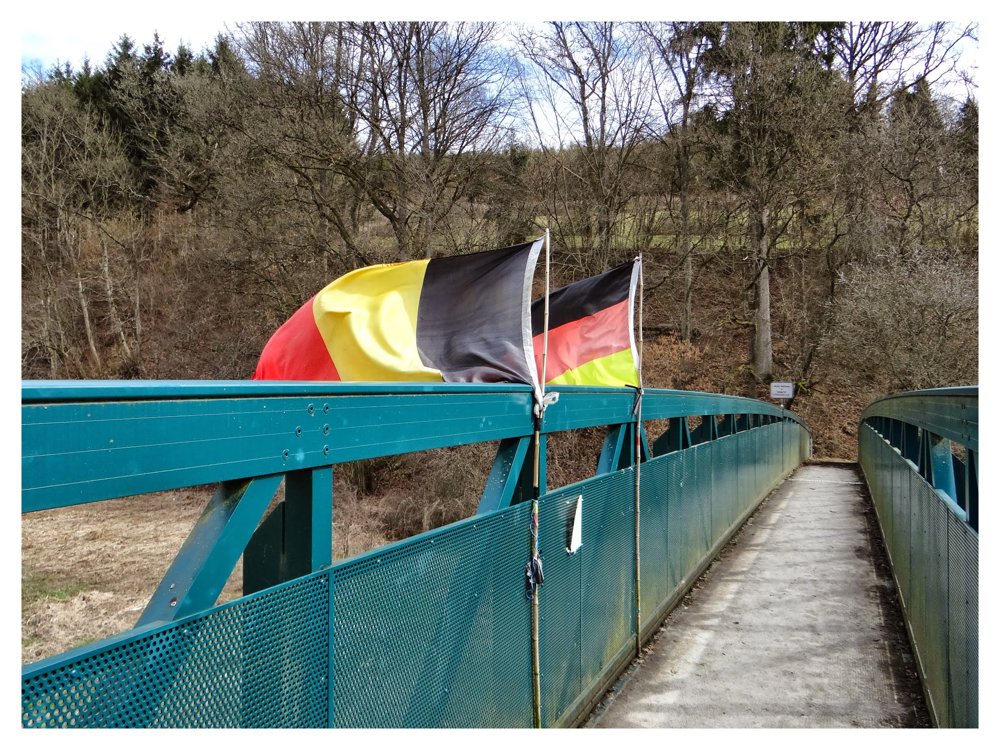
Afterwards, you descend and arrive at the 'George Wagner Bridge', which is partly on German and partly on Belgian territory. Once you've crossed the bridge, you find yourself on Luxembourg territory, with the intersection of the 'Three-Country Point Belgium-Germany-Luxembourg' in the middle of the Our. The walk continues along the Luxembourg bank, which we experienced as the most beautiful part.

More photos: https://photos.app.goo.gl/WLVbsdoyqzZxE8xu9

Happy hiking,

Eddy, Rita, and Prinske

automatic translation

Icon nodes to follow nodes to follow

Icon start route
0 km
Icon deviation route
1 km
Icon deviation route
2 km
Icon deviation route
3.1 km
Icon deviation route
3.8 km
Icon deviation route
4.4 km
Icon deviation route
5.1 km
Icon deviation route
6.2 km
Icon deviation route
7 km
Image node TP
7.1 km
Image node TP
8.7 km
Image node 124
10.4 km
Icon deviation route
11 km
Icon deviation route
11.7 km
Icon deviation route
12.2 km
Icon stop route
12.7 km
This route does not have any reviews yet. Be the first!
Rate route!

Which POI do you want to show on the map?

Experimental hiking network
Unsigned icon

The route you have chosen runs (partly) along an experimental virtual hiking node network (the blue-coloured nodes and sections on the map).

You must be logged in to plan routes here.

Experimental hiking network
Unsigned icon

The route you have chosen runs (partly) along an experimental virtual hiking node network (the blue-coloured nodes and sections on the map).

These routes are not controlled in the field. Before you start hiking here, take a minute to read what an experimental hiking node network is and what rules you should follow when hiking here.

By clicking 'Accept all cookies,' you agree to the use of cookies for an enhanced user experience, website traffic analysis, and personalized advertisements. Cookie policy