Loading...

Fouhren: forest and field

automatic translation

6.2 km • Tandel

100 0 0/5

6.2 km 0.0 km 0.0 km
10 km
© OpenStreetMap contributors, Tracestrack

route offered by

Eddy & Rita

Icon starting point Addresse starting point (approximate)

Kierchestrooss 18, 9454 Tandel, LU

Icon type signage of route signage

The route is not signposted. Use a GPS device or our app to follow the route.

130.1 m 128.1 m 336.5 m 232 m These values indicate respectively the number of meters to rise, the highest and the lowest point in meters.
Atmosphere image 1 of route Fouhren: forest and field Atmosphere image 2 of route Fouhren: forest and field Atmosphere image 3 of route Fouhren: forest and field
© Eddy & Rita

Icon description route Description

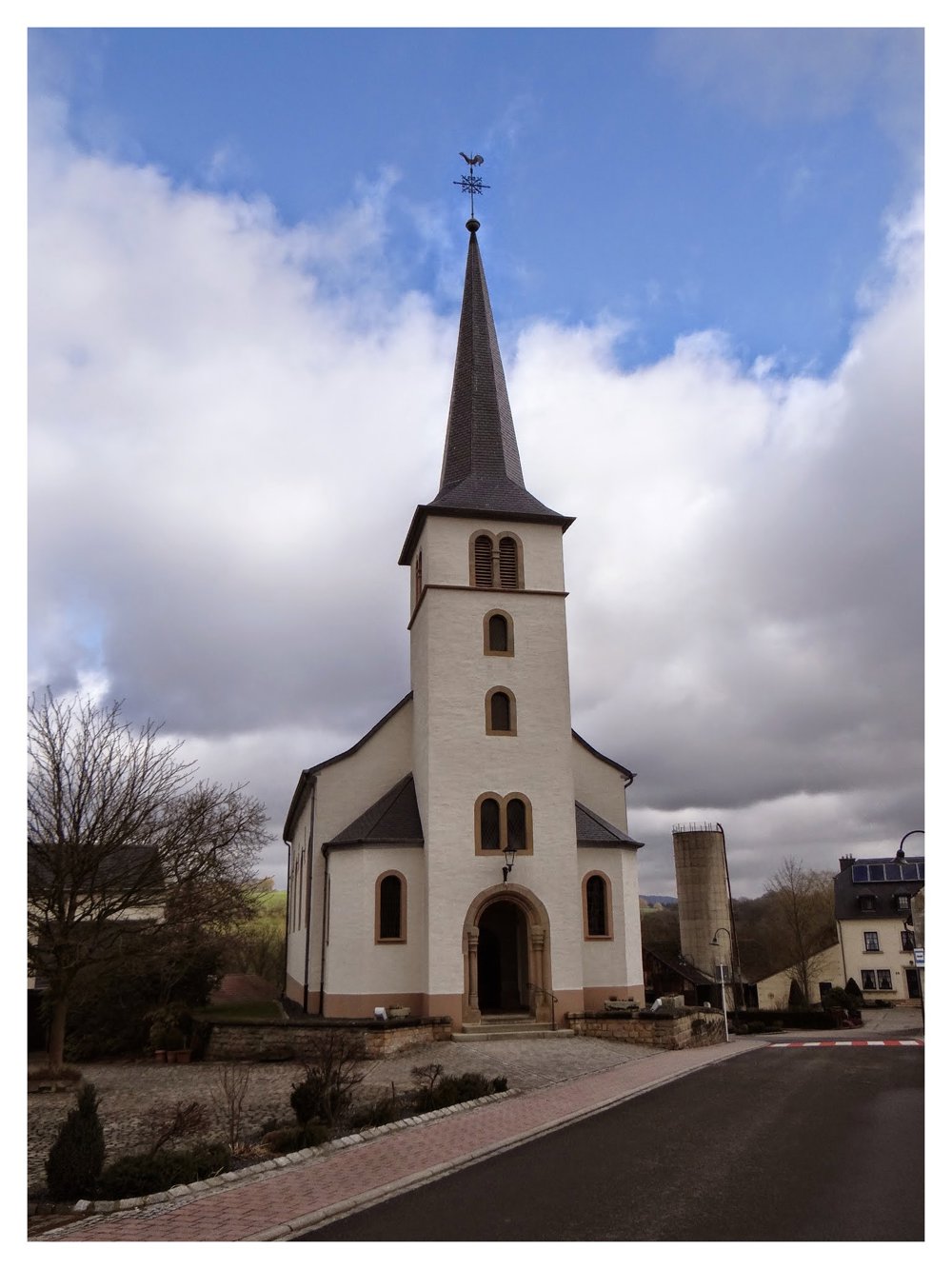
Beautiful, short nature walk that starts at the town hall of Fouhren.

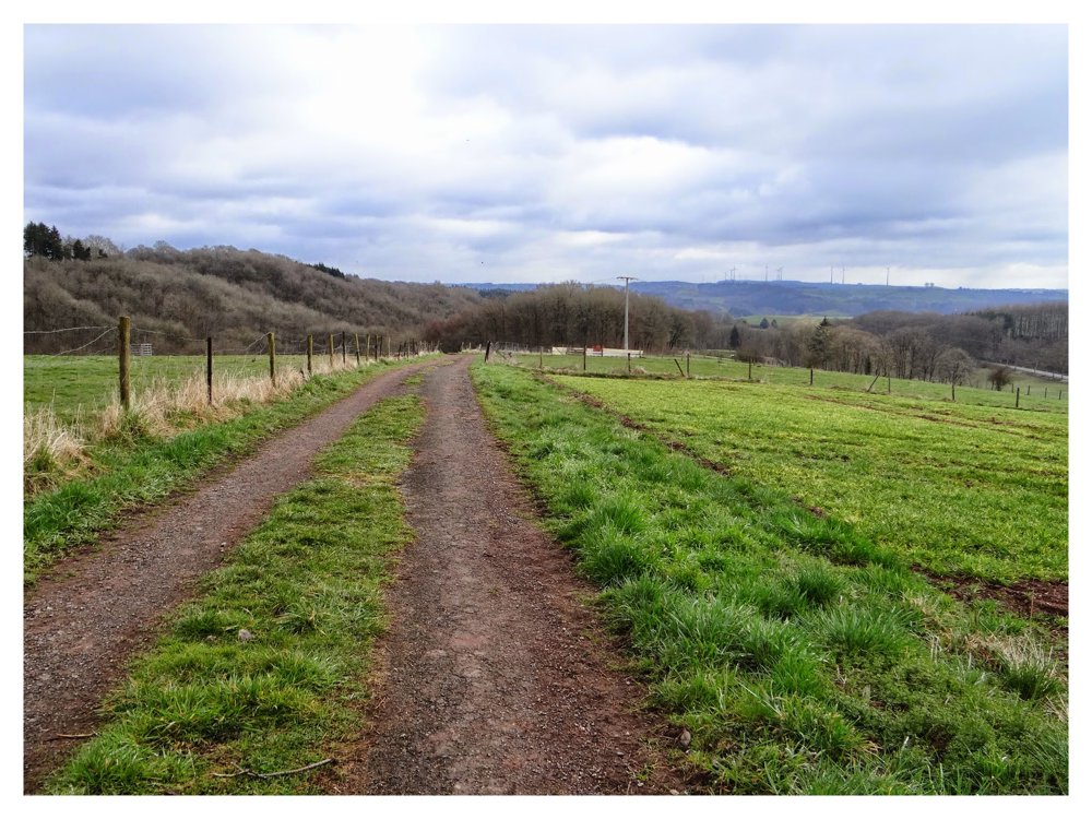
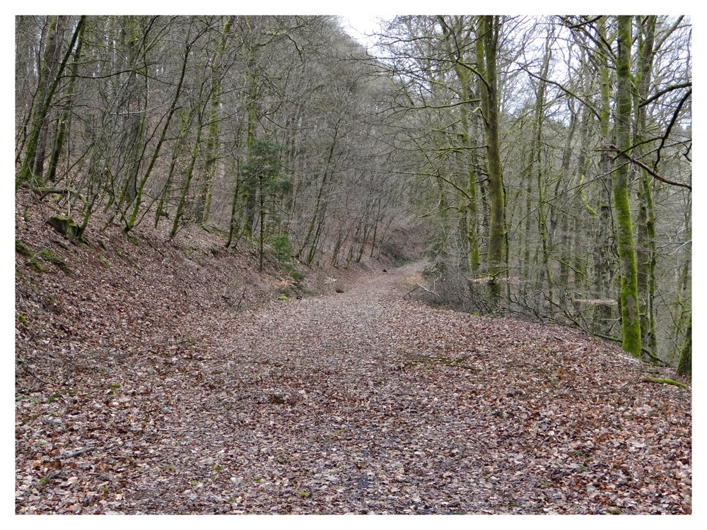
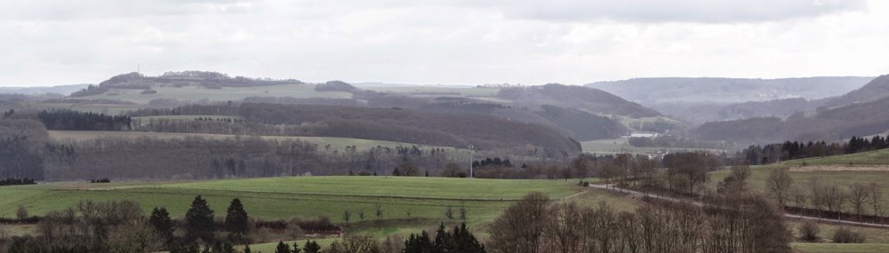
During this route, one goes through forest and field.

More photos: https://photos.app.goo.gl/3Z3HvoAaU8xdXZtf6

Happy walking,

Eddy, Rita, and Prinske

automatic translation

This route does not have any reviews yet. Be the first!
Rate route!

Which POI do you want to show on the map?

Experimental hiking network
Unsigned icon

The route you have chosen runs (partly) along an experimental virtual hiking node network (the blue-coloured nodes and sections on the map).

You must be logged in to plan routes here.

Experimental hiking network
Unsigned icon

The route you have chosen runs (partly) along an experimental virtual hiking node network (the blue-coloured nodes and sections on the map).

These routes are not controlled in the field. Before you start hiking here, take a minute to read what an experimental hiking node network is and what rules you should follow when hiking here.

By clicking 'Accept all cookies,' you agree to the use of cookies for an enhanced user experience, website traffic analysis, and personalized advertisements. Cookie policy