Loading...

Ingeldorf: Haff Ditgesbaach

automatic translation

6.9 km • Erpeldange-sur-Sûre

140 0 0/5

6.9 km 0.0 km 0.0 km
10 km
© OpenStreetMap contributors, Tracestrack

route offered by

Eddy & Rita

Icon starting point Addresse starting point (approximate)

Rue De La Sûre 15, 9161 Erpeldange-sur-Sûre, LU

Icon type signage of route signage

The route is not signposted. Use a GPS device or our app to follow the route.

202.8 m 195.3 m 335.7 m 194.6 m These values indicate respectively the number of meters to rise, the highest and the lowest point in meters.
Atmosphere image 1 of route Ingeldorf: Haff Ditgesbaach Atmosphere image 2 of route Ingeldorf: Haff Ditgesbaach Atmosphere image 3 of route Ingeldorf: Haff Ditgesbaach
© Eddy & Rita

Icon description route Description

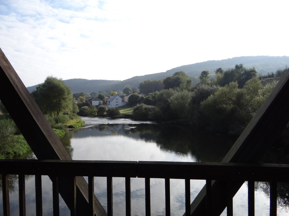
Beautiful walk that starts at the church of 'Ingeldorf'. After crossing the 'Sûre' via a covered bridge, you follow the bike path PC 16 along the bank of the 'Sûre' to 'Ettelbruck', where you follow the bank of the 'Alzette'. Until that point, the walk is flat.

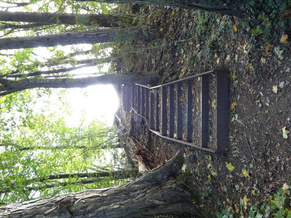
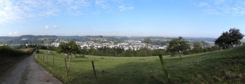
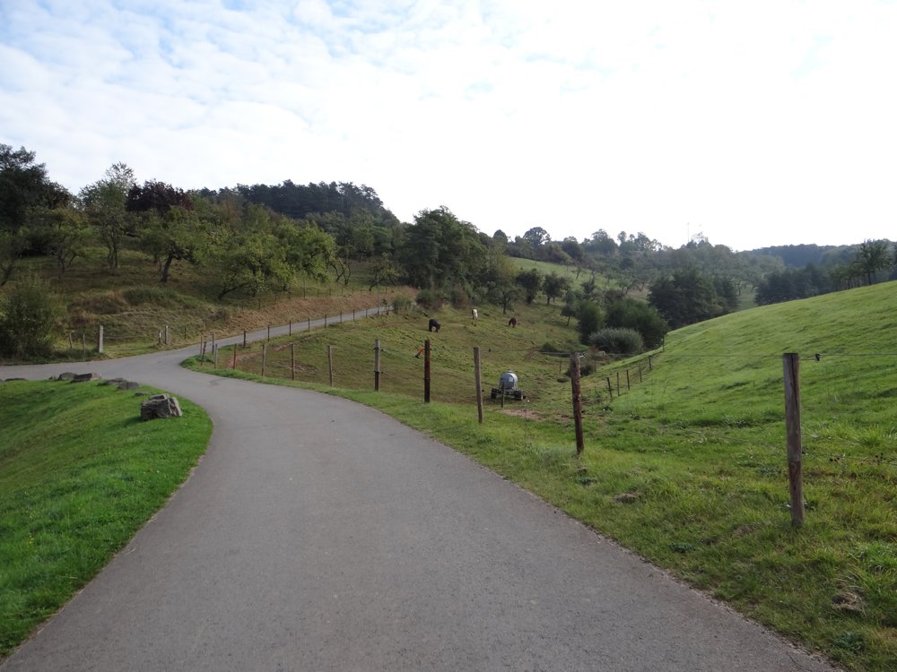
Once past 'Haff Ditgesbaach', a riding school where hippotherapy is offered, the hiker faces a steep climb. The road, which has been paved until now, gives way to forest and meadow paths. In the meantime, you can enjoy beautiful views of the municipalities of 'Ettelbruck', 'Ingeldorf', 'Diekirch' and the beautiful valley of the mid-Sûre.

More photos: https://goo.gl/photos/bj5phaPfFD67TErV8
Happy walking,
Eddy, Rita, and Prinske

automatic translation

This route does not have any reviews yet. Be the first!
Rate route!

Which POI do you want to show on the map?

Experimental hiking network
Unsigned icon

The route you have chosen runs (partly) along an experimental virtual hiking node network (the blue-coloured nodes and sections on the map).

You must be logged in to plan routes here.

Experimental hiking network
Unsigned icon

The route you have chosen runs (partly) along an experimental virtual hiking node network (the blue-coloured nodes and sections on the map).

These routes are not controlled in the field. Before you start hiking here, take a minute to read what an experimental hiking node network is and what rules you should follow when hiking here.

By clicking 'Accept all cookies,' you agree to the use of cookies for an enhanced user experience, website traffic analysis, and personalized advertisements. Cookie policy