 Hiking
 Login
Login More
More EN
EN Premium
Local Route Steinheim R8
automatic translation
8.9 km • Rosport-Mompach
100 0 0/5

 Addresse starting point (approximate)
Rue De La Montagne 3, 6586 Rosport-Mompach, LU
 signage
The route is fully signposted with thematic signs (no nodes).
 Description
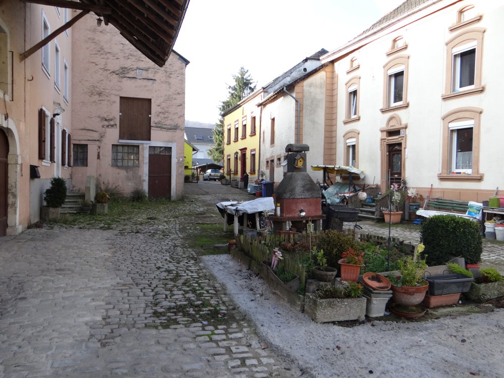
Beautiful walk starting at the spacious parking lot of the fire station in 'Steinheim'. After crossing the N10, this route first offers a small exploration of 'Steinheim'.
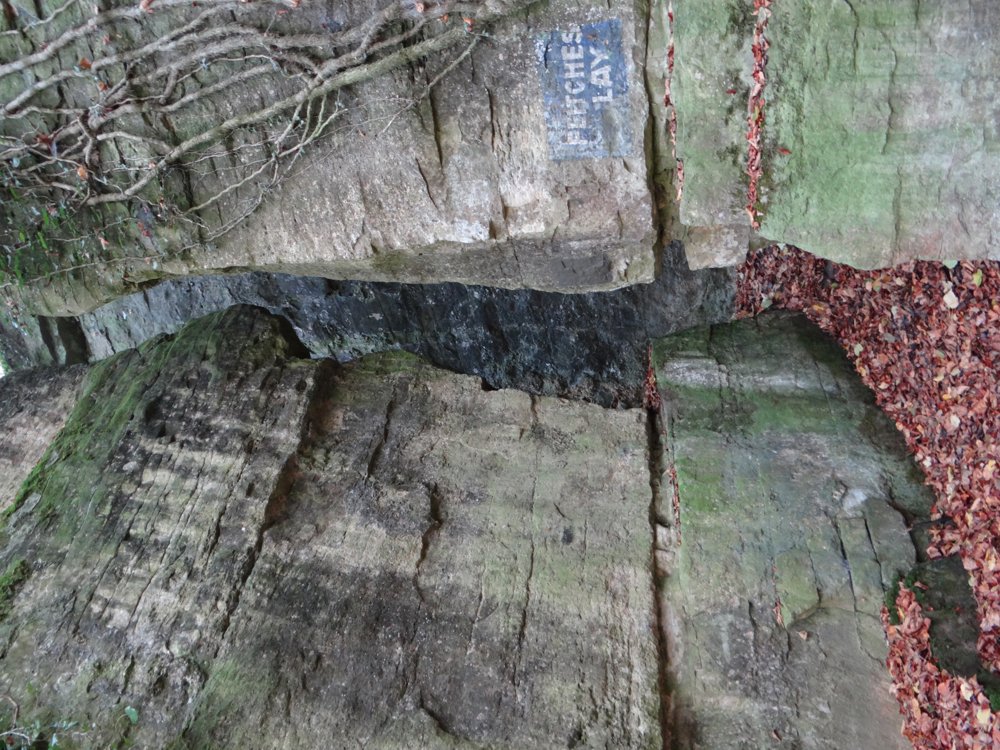
A brief glance at the 'Sûre' river is granted to the hiker, before heading back to the N10 via alleys. Once the N10 is crossed again, one can expect a steep climb. This takes you along the 'Deutsch-Luxemburgischer Felsenweg'. Felsen are rock formations which can be seen in all kinds of shapes and sizes. This region is not called 'Little Switzerland' for nothing.
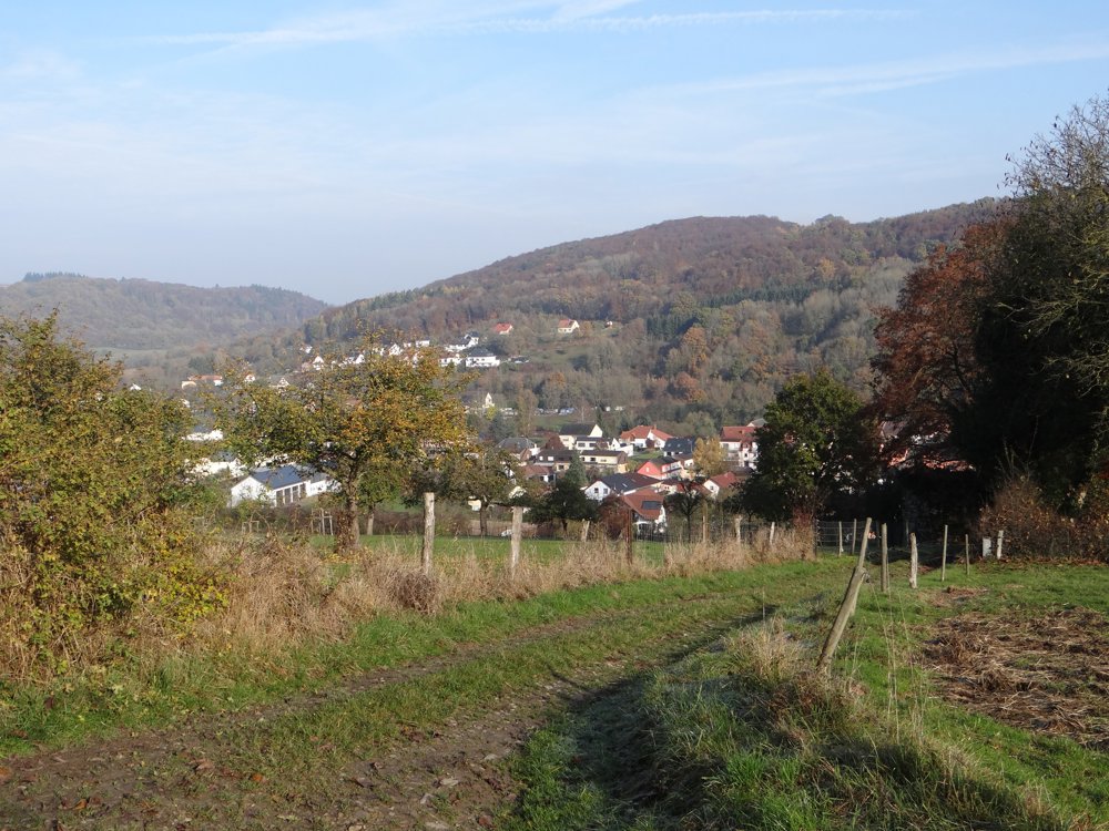
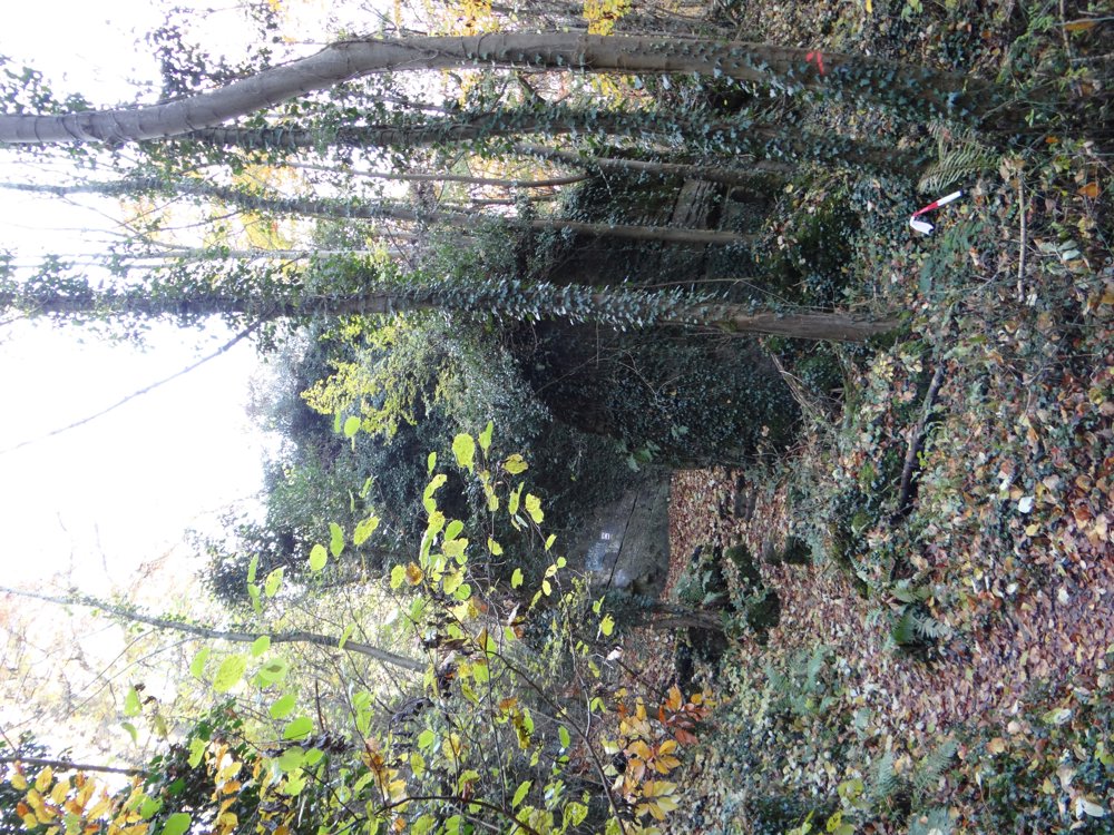
After all the huffing and puffing, you reach a plateau where you're treated to a beautiful 360° view. The plateau is crossed via muddy paths and exited via a paved road that leads the hiker to the next forest. Meanwhile, you guessed it, stunning views of the surroundings. Once in the forest, one can again look forward to beautiful rock formations.
More photos: https://goo.gl/photos/KrR4PdrZJd23swCQ8
E, R, P
automatic translation


 Upgrade to Premium Plus
