 Hiking
 Login
Login More
More EN
EN Premium
Hiking Trail Cessange
automatic translation
8.7 km • Luxembourg
90 0 0/5

 Addresse starting point (approximate)
Route De Bettembourg 18, 1899 Luxembourg, LU
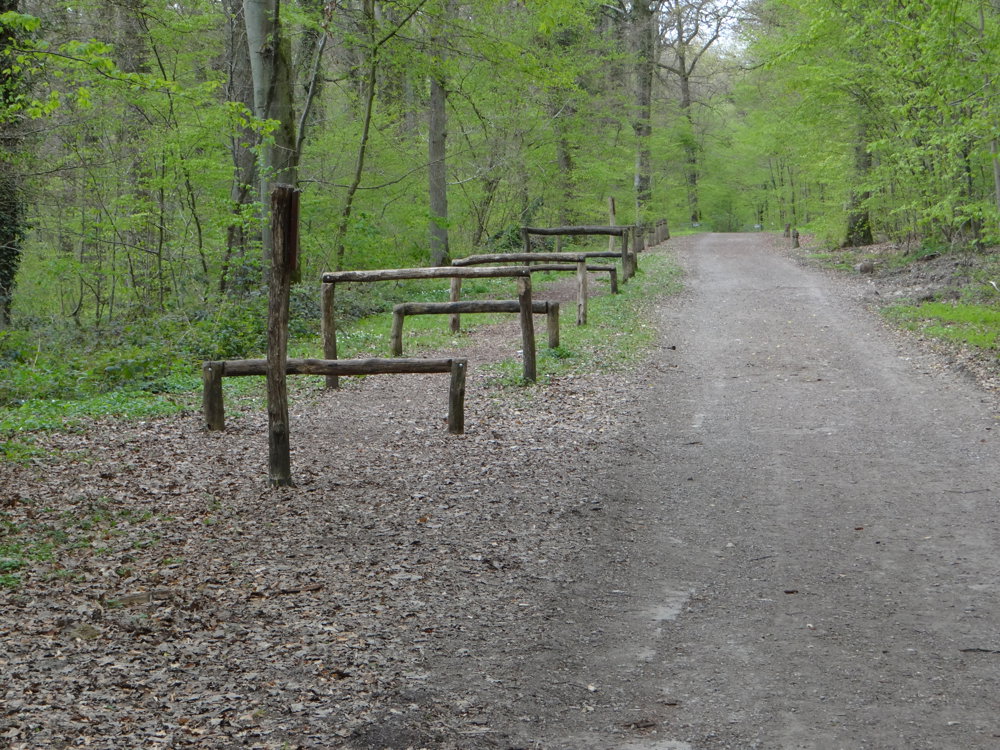
 signage
The route is fully signposted with thematic signs (no nodes).
 Description
Markers in both directions: blue diamond on white
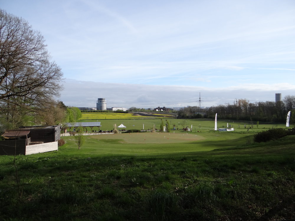
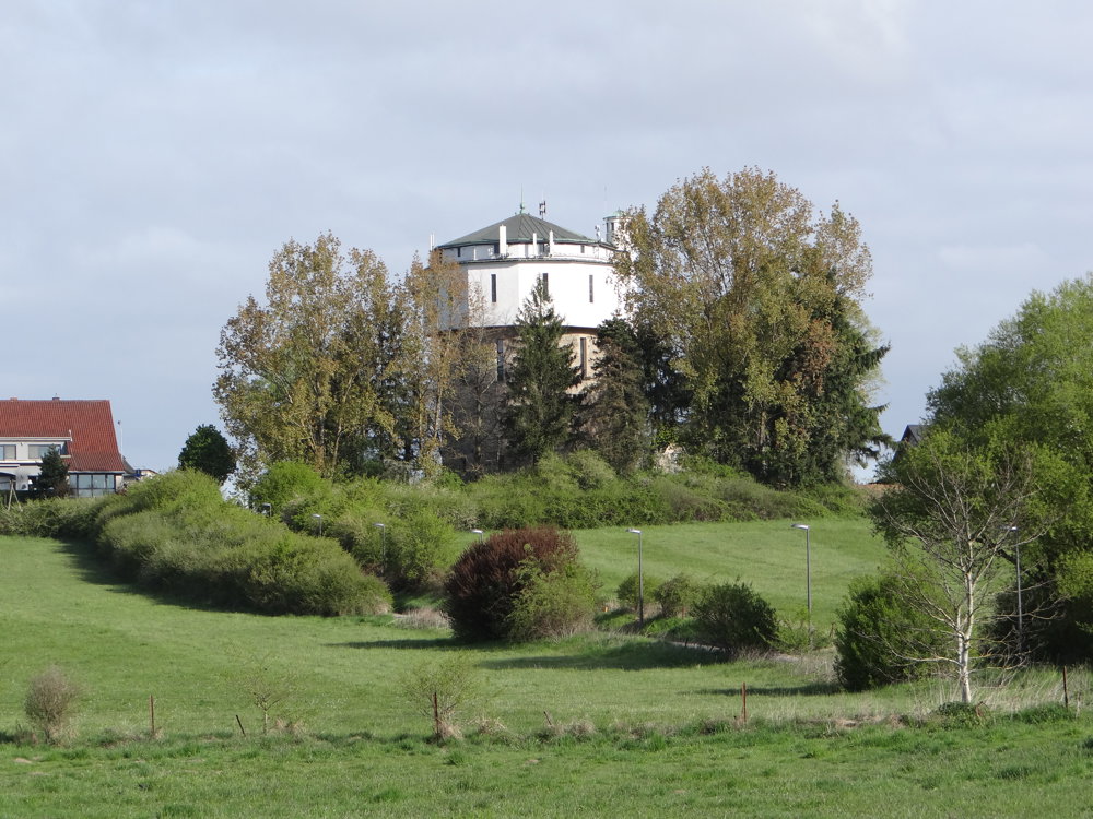
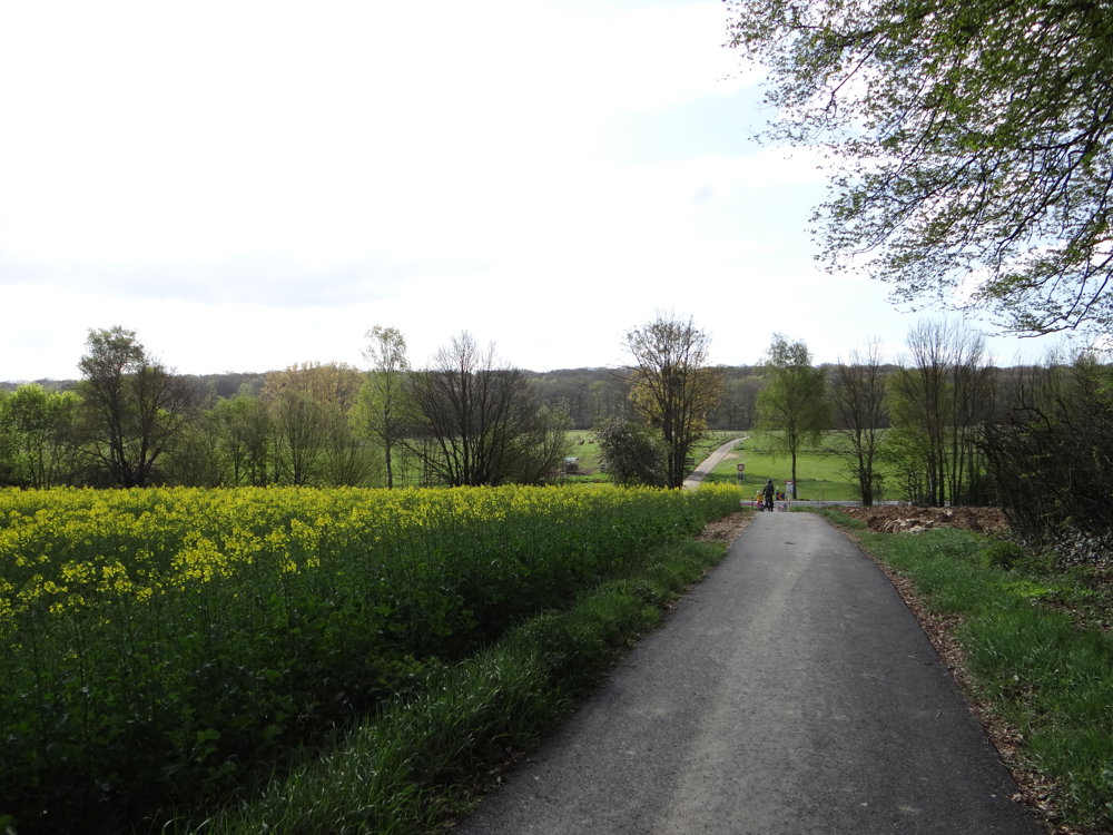
Cessange is one of the more rural districts. With 568 ha, Cessange accounts for 14% of the municipality's area and is thus one of the larger districts of Luxembourg. Cessange borders the districts of Merl, Hollerich, and Gasperich. A large part of the district is farmland.
Furthermore, highways A6 and A4 run through it and intersect at the Croix de Cessange, named after Cessange. The former village is located in the extreme northeast of the district and has become attached to the city. Yet, Cessange has retained much of its village character, perhaps also because it is still somewhat separated from the city by an elevated railway and the Route d'Esch highway.
More photos: https://goo.gl/photos/ZVG3CX35o1BMeVTi7
Enjoy your walks,
Eddy, Rita, and Prinske
automatic translation


 Upgrade to Premium Plus
