Loading...

Untereisenbach Nat'Our 3

automatic translation

10.6 km • Eifelkreis Bitburg-Prüm

190 0 0/5

10.6 km 0.0 km 0.0 km
10 km
© OpenStreetMap contributors, Tracestrack

route offered by

Eddy & Rita

Icon starting point Addresse starting point (approximate)

Dorfstraße 16, Südeifel, DE

Icon type signage of route signage

The route is fully signposted with thematic signs (no nodes).

226.6 m 159.3 m 500.4 m 236.8 m These values indicate respectively the number of meters to rise, the highest and the lowest point in meters.
Atmosphere image 1 of route Untereisenbach Nat'Our 3 Atmosphere image 2 of route Untereisenbach Nat'Our 3 Atmosphere image 3 of route Untereisenbach Nat'Our 3
© Eddy & Rita

Icon description route Description

The German-Luxembourg Nat'Our Route 'Wege ohne Grenze' focuses on the cross-border cooperation between the Our Nature Park and the Südeifel Nature Park. Both are part of the 'German-Luxembourg Nature Parks' which were established in 1964 as the first European nature park.

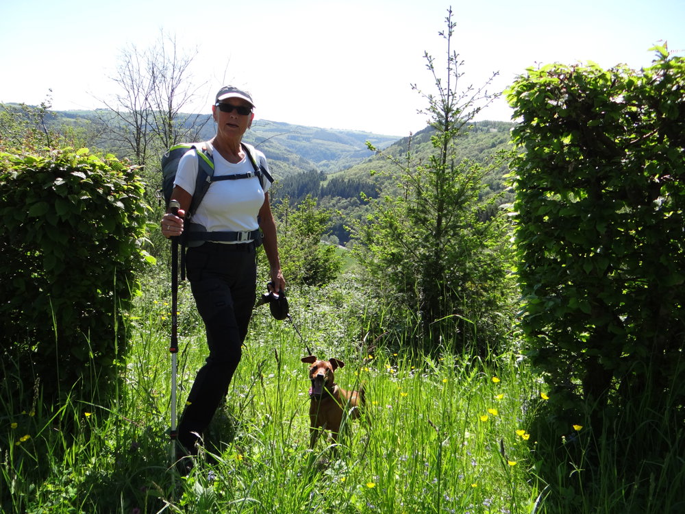
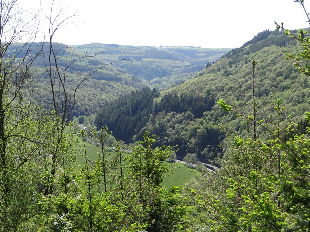
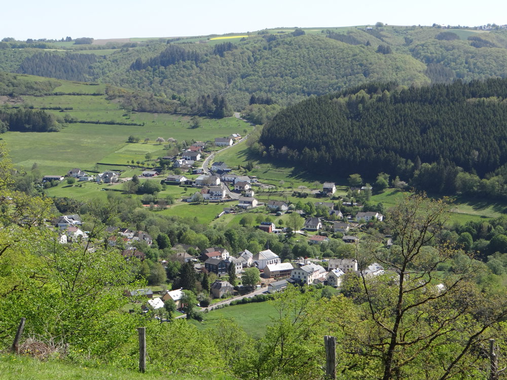
The route starts at the former toll house in Untereisenbach. After a steep climb to the plateau of Wahlhausen, one is rewarded with a stunning view of the Our Valley. The descent to Gemünd is through a forest on narrow paths along a ridge. On the German side, the hike goes through the romantic valley of the small river Irsen, which is also known as the valley of 1000 butterflies.

More photos: https://photos.app.goo.gl/tdiJ8Rr6H7C8ZW8i8
Happy hiking,
Eddy, Rita and Prinske

automatic translation

This route does not have any reviews yet. Be the first!
Rate route!

Which POI do you want to show on the map?

Experimental hiking network
Unsigned icon

The route you have chosen runs (partly) along an experimental virtual hiking node network (the blue-coloured nodes and sections on the map).

You must be logged in to plan routes here.

Experimental hiking network
Unsigned icon

The route you have chosen runs (partly) along an experimental virtual hiking node network (the blue-coloured nodes and sections on the map).

These routes are not controlled in the field. Before you start hiking here, take a minute to read what an experimental hiking node network is and what rules you should follow when hiking here.

By clicking 'Accept all cookies,' you agree to the use of cookies for an enhanced user experience, website traffic analysis, and personalized advertisements. Cookie policy