 Hiking
 Login
Login More
More EN
EN Premium
Along the banks of the Our and Falkenstein Castle
automatic translation
11 km • Putscheid
130 0 0/5

 Addresse starting point (approximate)
Rue Du Faubourg 2, 9464 Putscheid, LU
 signage
The route is not signposted. Use a GPS device or our app to follow the route.
 Description
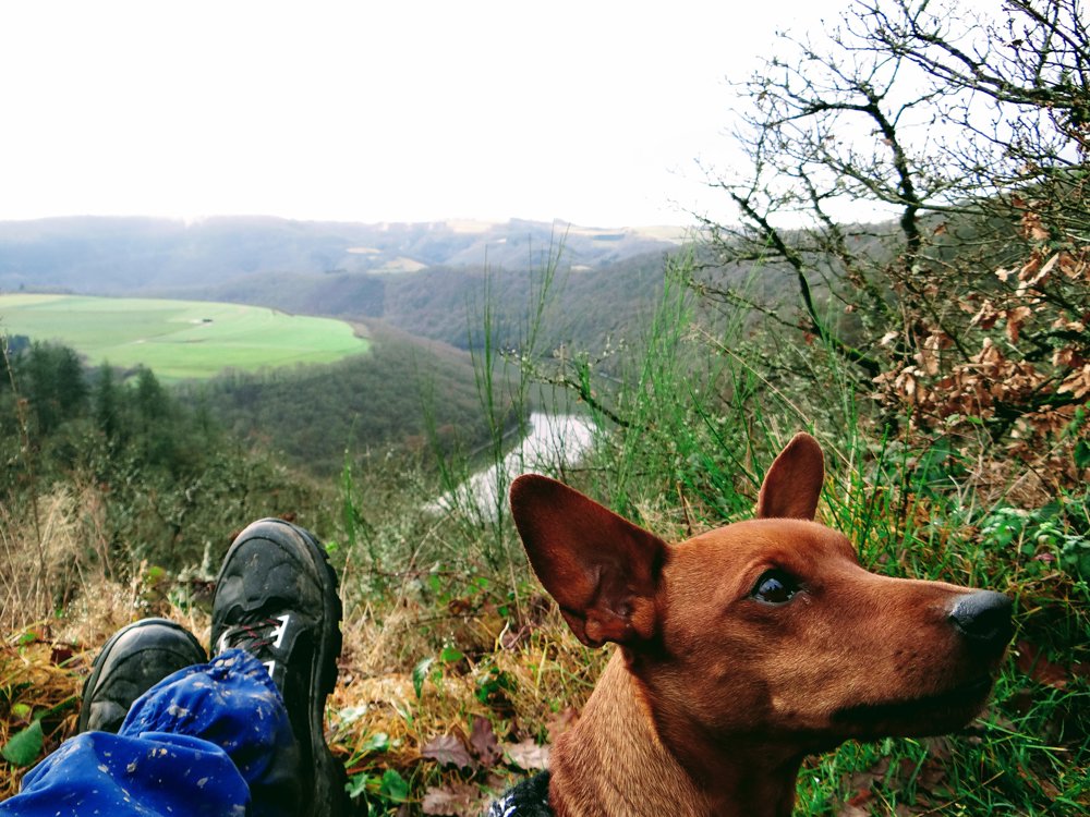
The walk starts in Stolzembourg, but that's all there is to Luxembourg. The loop goes entirely on the German side in the South Eifel mountains.
As far as signposting is concerned, apart from two signs, there is nothing that remotely suggests an 'E' marking. Not much of a problem of course; with a GPS track and/or a map you'll figure it out.
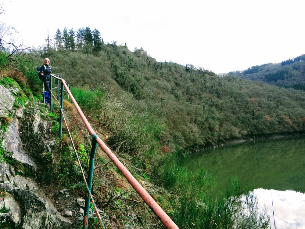
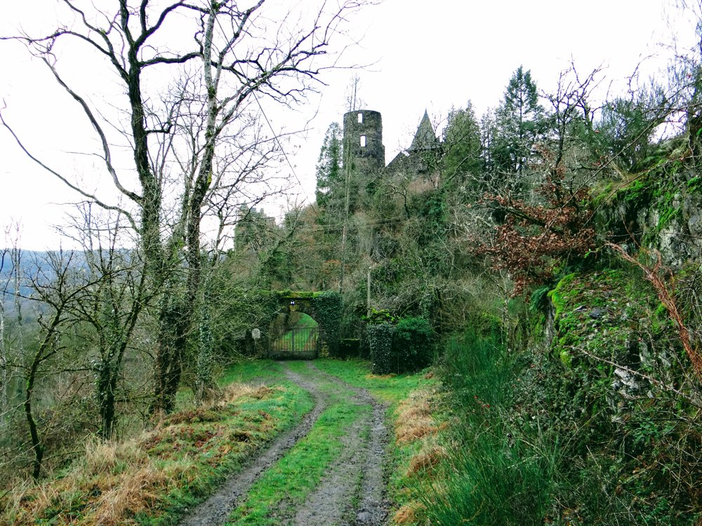
We walked the route counterclockwise and followed the Our for a while before ascending to the 'Falkenstein' castle. Castle Falkenstein is the ruin of an early medieval fortress in Waldhof-Falkenstein on the Our in Bitburg-Prüm in Rhineland-Palatinate.
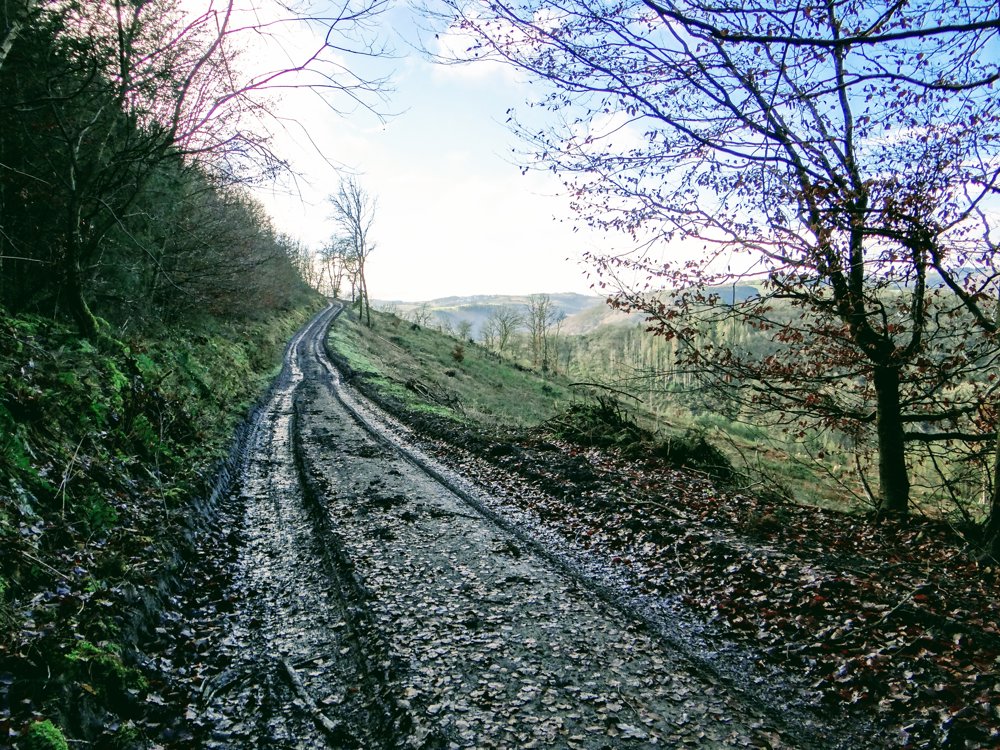
Furthermore, the hiker gets views of streams in beautiful valleys and heights with stunning vistas for a small effort (walking ;o) ) given as a gift.
Pictures say more than 1000 characters: https://photos.app.goo.gl/MsBjGDXwGKvjUQac8
Have fun!
Eddy, Rita, and Prinske.
automatic translation


 Upgrade to Premium Plus
