 Hiking
 Login
Login More
More EN
EN Premium
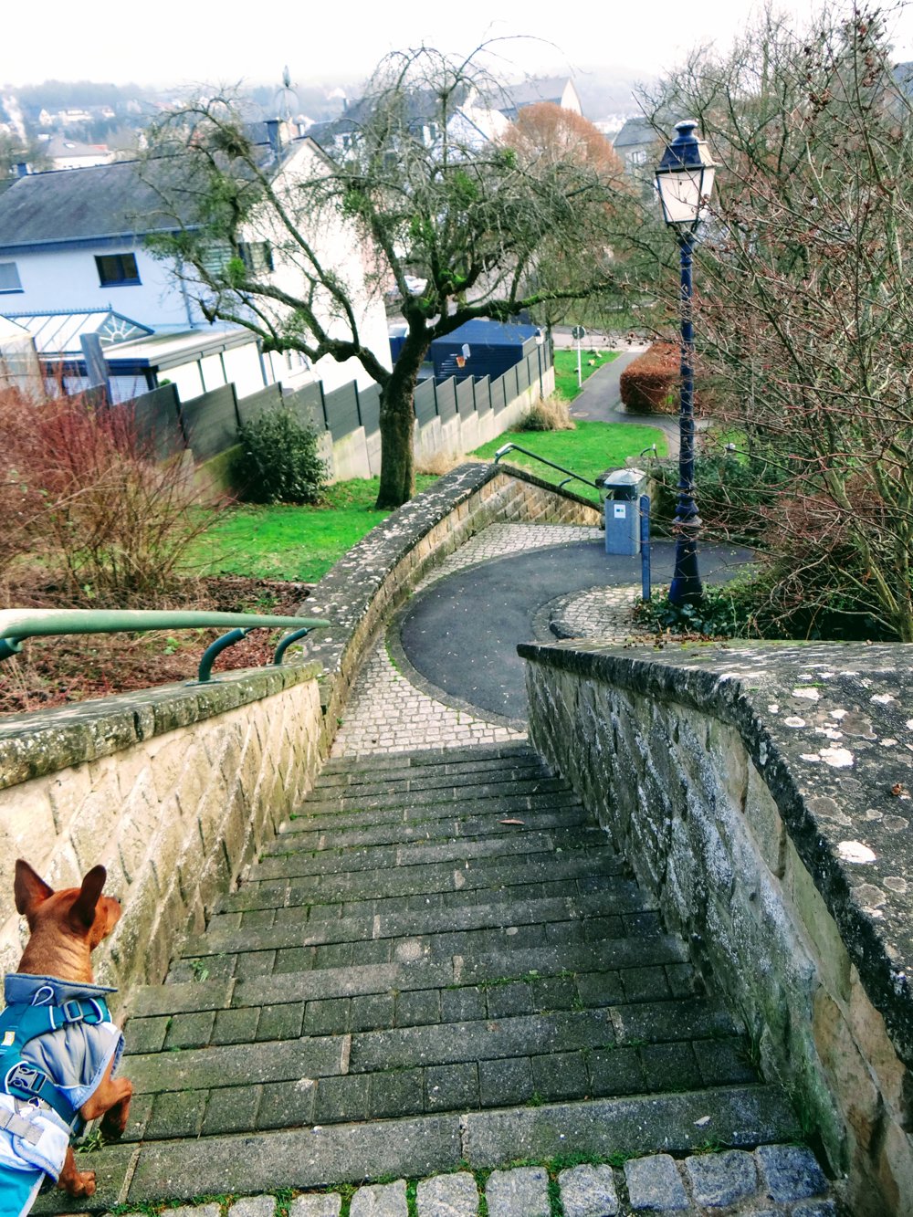
Castles of 'Birtrange' and 'Colmar-Berg'
automatic translation
8.7 km • Schieren
80 0 0/5

 Addresse starting point (approximate)
Rue du 10 septembre 6, 9132 Schieren, LU
 signage
The route is not signposted. Use a GPS device or our app to follow the route.
 Description
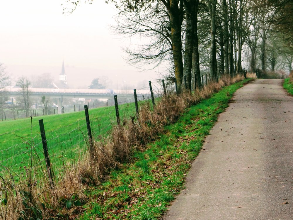
At the start of the walk, one walks approximately 2.5 km parallel to the A7 motorway, after which one enters the municipal forests, which are crisscrossed by quiet roads.
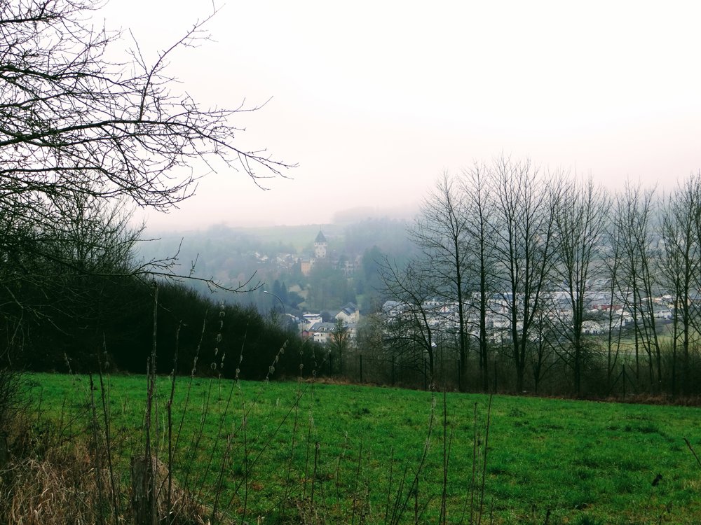
We had some bad luck with the fog, but we still got a more or less beautiful view of the castles of 'Birtrange' and 'Colmar-Berg'.
Castle Berg in Colmar-Berg is the main residence of the Grand Duke of Luxembourg and is surrounded by an extensive park. The flag on the roof of the tower indicates whether the Grand Duke is inside or outside.
The castle of Birtrange is a castle in Birtrange in the municipality of Schieren. It is located on the left bank of the Alzette. On August 10, 2017, it was listed as a national monument on the list of classified monuments. Both castles are not open to visitors.
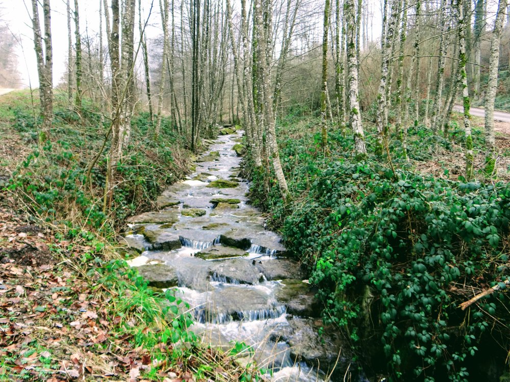
The last kilometers of the walk go through the valley of the 'Kiselbaach', which flows into the 'Alzette' in 'Schieren'.
More photos: https://photos.app.goo.gl/SMe5nEaaMvAedtmw9
Enjoy your walk!
Eddy, Rita, and Prinske
automatic translation


 Upgrade to Premium Plus
