Loading...

Grobbendonk along water, forest and quiet roads

automatic translation

16.3 km • Grobbendonk

2472 0 0/5

16.3 km 0.0 km 0.0 km
10 km
© OpenStreetMap contributors, Tracestrack

route offered by

Wilfried Lambrechts

Icon starting point Addresse starting point (approximate)

Boudewijnstraat 12, 2280 Grobbendonk, BE

Icon type signage of route signage

The route is fully signposted with nodes.

96.8 m 92 m 38.7 m 5.2 m These values indicate respectively the number of meters to rise, the highest and the lowest point in meters.
Atmosphere image 1 of route Grobbendonk along water, forest and quiet roads Atmosphere image 2 of route Grobbendonk along water, forest and quiet roads Atmosphere image 3 of route Grobbendonk along water, forest and quiet roads
© Wilfried Lambrechts

Icon description route Description

Park at the church or the Vaartkom parking lot.

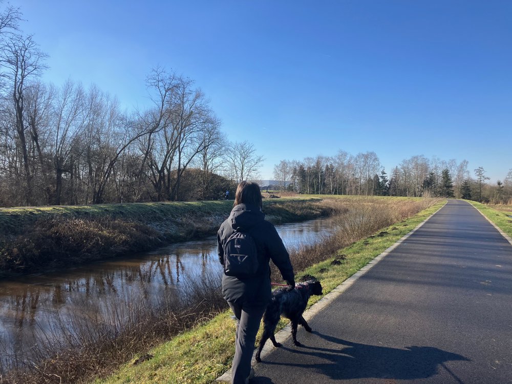
Along country roads, you go via the embankment of the Kleine Nete to the Albert Canal. On paved (cyclists!) or unpaved surfaces, you see the ships gliding by while the wind blows through your hair.

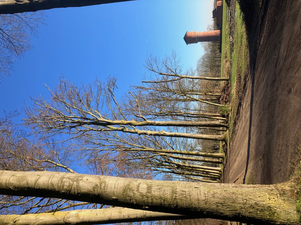
Once you leave the busy waterfront, you quickly reach the green Pidpabos, where groundwater is indeed pumped up to make drinking water.

Afterwards, you go via quiet roads alongside fields, farms, and the local football club in search of the village center of Pulle. You leave the buildings on the other side to seek out the fields and forests again. Here, the Molenbos, the oldest inhabited area of Grobbendonk, forms a protected oasis of calm where the trees have deliberately not been cut down. Who knows, you might make an archaeological discovery of more than 10,000 years ago?!

Dining options between pt 59-58, at pt 66, and between pt 13-18.
Mostly small paved roads.
High hiking boots recommended in wet periods.
Dogs on a leash.

automatic translation

Icon nodes to follow nodes to follow

Image node 18
0 km
Image node 21
1.3 km
Image node 20
2.3 km
Image node 22
3.6 km
Image node 16
3.8 km
Image node 23
4.3 km
Image node 23
4.4 km
Image node 24
5.7 km
Image node 61
5.9 km
Image node 62
7 km
Image node 59
7.7 km
Image node 58
8.5 km
Image node 65
10.2 km
Image node 66
10.9 km
Image node 69
11.2 km
Image node 70
12.1 km
Image node 71
12.4 km
Image node 79
12.8 km
Image node 28
13.3 km
Image node 29
13.6 km
Image node 29
13.6 km
Image node 15
14 km
Image node 11
14.3 km
Image node 9
14.6 km
Image node 13
15.3 km
Image node 18
16.3 km
This route does not have any reviews yet. Be the first!
Rate route!

Which POI do you want to show on the map?

Experimental hiking network
Unsigned icon

The route you have chosen runs (partly) along an experimental virtual hiking node network (the blue-coloured nodes and sections on the map).

You must be logged in to plan routes here.

Experimental hiking network
Unsigned icon

The route you have chosen runs (partly) along an experimental virtual hiking node network (the blue-coloured nodes and sections on the map).

These routes are not controlled in the field. Before you start hiking here, take a minute to read what an experimental hiking node network is and what rules you should follow when hiking here.

By clicking 'Accept all cookies,' you agree to the use of cookies for an enhanced user experience, website traffic analysis, and personalized advertisements. Cookie policy