Loading...

Oostmalle: Castle de Renesse

automatic translation

10.2 km • Malle

2051 0 0/5

10.2 km 0.0 km 0.0 km
10 km
© OpenStreetMap contributors, Tracestrack

route offered by

Eddy & Rita

Icon starting point Addresse starting point (approximate)

Lierselei 28, 2390 Malle, BE

Icon type signage of route signage

The route is fully signposted with nodes.

48.7 m 44.8 m 38.7 m 15.6 m These values indicate respectively the number of meters to rise, the highest and the lowest point in meters.
Atmosphere image 1 of route Oostmalle: Castle de Renesse Atmosphere image 2 of route Oostmalle: Castle de Renesse Atmosphere image 3 of route Oostmalle: Castle de Renesse
© Eddy & Rita

Icon description route Description

We did this walk on 07/02/2025

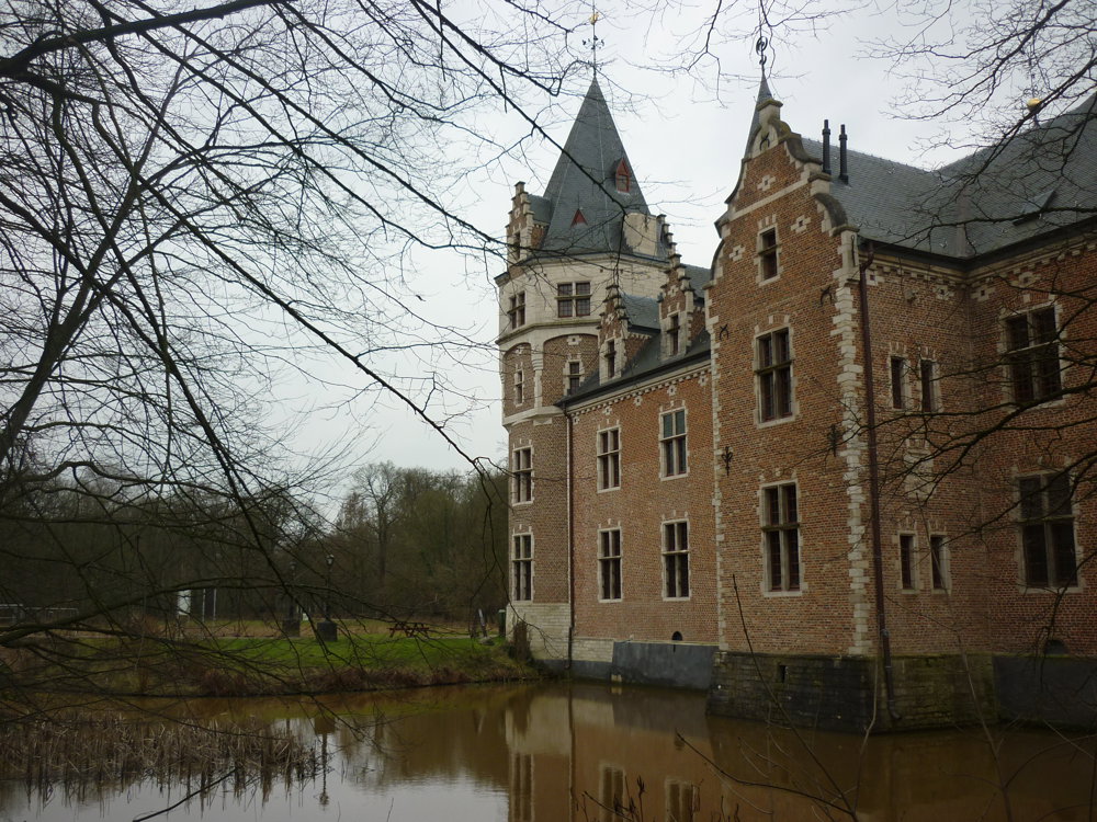
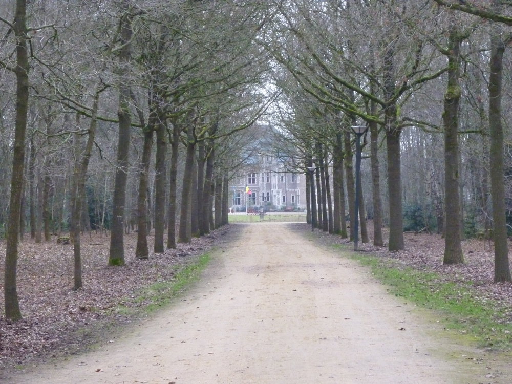
Start your walk in the enchanting castle estate of De Renesse. In this English garden, you will find majestic trees, shimmering ponds, and historic buildings. The castle of the Counts of De Renesse is central to the estate and reveals the history of Oostmalle.

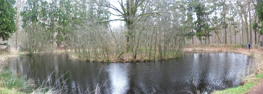
Then, you walk through the 's Herenbos, the former hunting ground of the noble family, which is now a protected forest reserve. Here, nature runs its course freely.

After that, you reach the ancient Salphen. This isolated hamlet consists solely of farms, some of which are in the characteristic Frankish long facade style, and is known for its folkloric Salphen fair.

More photos: https://photos.app.goo.gl/61kZyeNvV3nquTF96
Happy walking,
Eddy, Rita, and Prinske

automatic translation

Icon nodes to follow nodes to follow

Image node 93
0 km
Image node 92
0.6 km
Image node 91
0.8 km
Image node 82
1 km
Image node 81
1.9 km
Image node 80
4.4 km
Image node 85
5.9 km
Image node 87
6.4 km
Image node 86
6.4 km
Image node 88
7.1 km
Image node 90
9 km
Image node 91
9.4 km
Image node 92
9.5 km
Image node TP
9.8 km
Image node 93
10.2 km
This route does not have any reviews yet. Be the first!
Rate route!

Which POI do you want to show on the map?

Experimental hiking network
Unsigned icon

The route you have chosen runs (partly) along an experimental virtual hiking node network (the blue-coloured nodes and sections on the map).

You must be logged in to plan routes here.

Experimental hiking network
Unsigned icon

The route you have chosen runs (partly) along an experimental virtual hiking node network (the blue-coloured nodes and sections on the map).

These routes are not controlled in the field. Before you start hiking here, take a minute to read what an experimental hiking node network is and what rules you should follow when hiking here.

By clicking 'Accept all cookies,' you agree to the use of cookies for an enhanced user experience, website traffic analysis, and personalized advertisements. Cookie policy