 Hiking
 Login
Login More
More EN
EN Premium
Eschdorf; getting a bit lost?
automatic translation
8 km • Esch-sur-Sûre
50 0 0/5

 Addresse starting point (approximate)
Am Foumichterwee 2, 9151 Esch-sur-Sûre, LU
 signage
The route is not signposted. Use a GPS device or our app to follow the route.
 Description
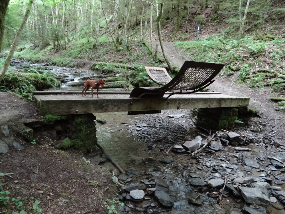
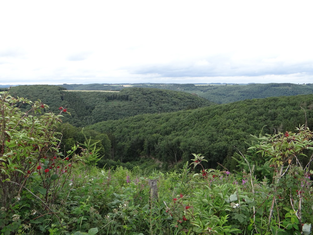
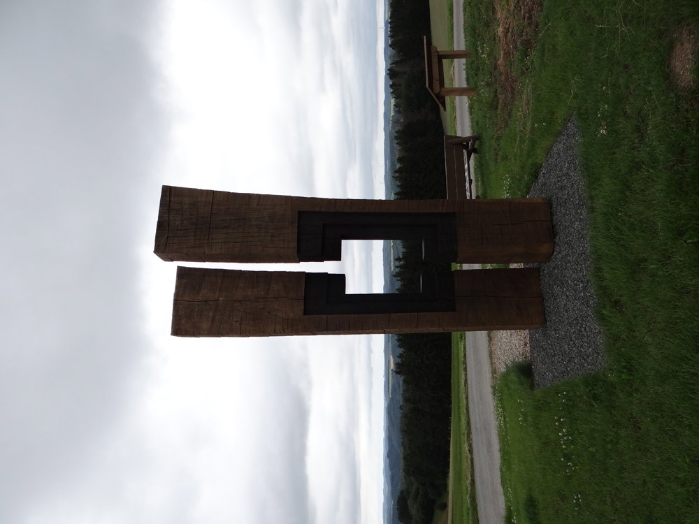
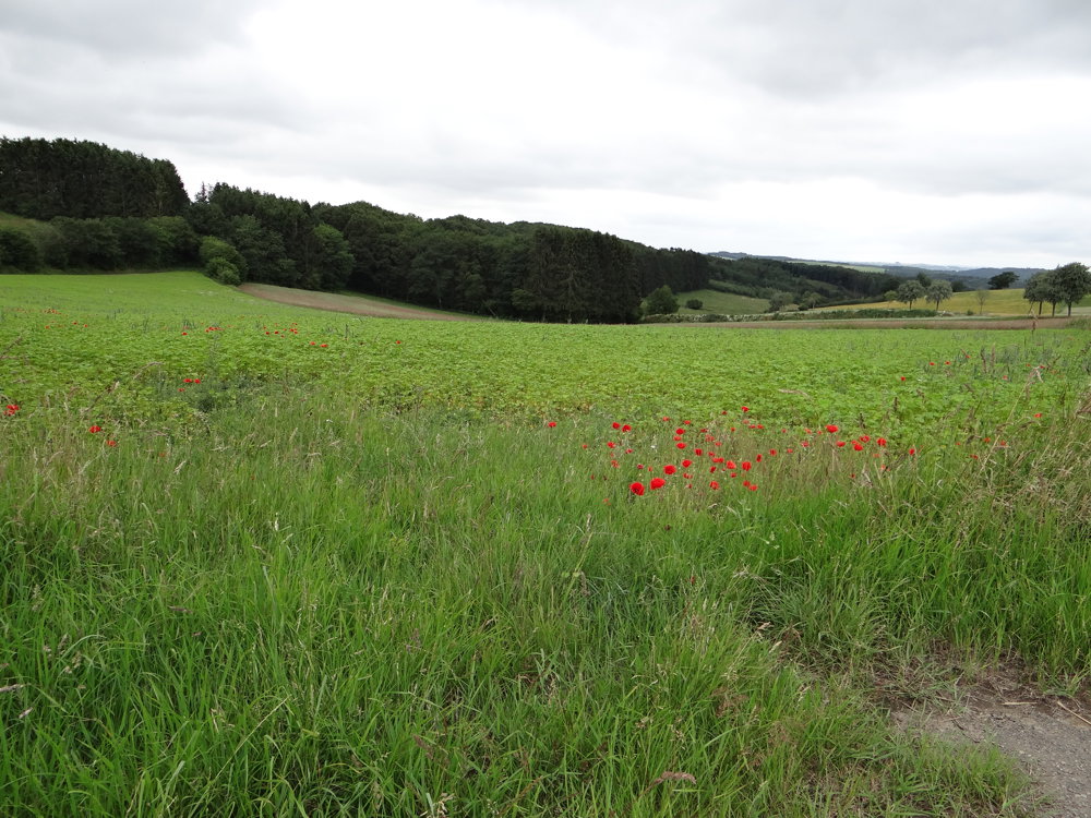
We started the 6 km long hike Eschdorf R, but quickly lost the signage.
Usually, we follow the GPS track, but this time we decided to follow the route changes. We noticed a new signage, presumably replacing the old one, but it quickly led us in another direction. Eventually, we followed a path on the GPS that didn't actually exist due to dense vegetation.
After 1.6 km, we decided to turn back and found the signage of the "Steinpilz" hike, which we followed in reverse. Eventually, we walked nearly 12 km. We cleared the route, so no one has to walk the 1.6 km back and forth. Parking is available at the town hall of Eschdorf.
The lesson from the story: "Never follow paths on the GPS that aren't signposted." 😊
More photos: https://photos.app.goo.gl/3YmNuE7N8btvDAYL9
Happy hiking,
Eddy, Rita, and Prinske
automatic translation


 Upgrade to Premium Plus
