 Hiking
 Login
Login More
More EN
EN Premium
Nature Area Biischtert
automatic translation
10.6 km • Vichten
90 0 0/5

 Addresse starting point (approximate)
Route d'Ettelbruck 15, 9173 Vichten, LU
 signage
The route is not signposted. Use a GPS device or our app to follow the route.
 Description
Attention, throughout the entire area, dogs must be kept on a leash!
Parking is available at the spacious parking lot by the CR305. Please, however, consider a restriction during the week. Therefore, parking is not allowed on Tuesday, Wednesday, Thursday, and Friday mornings.
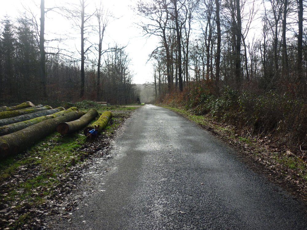
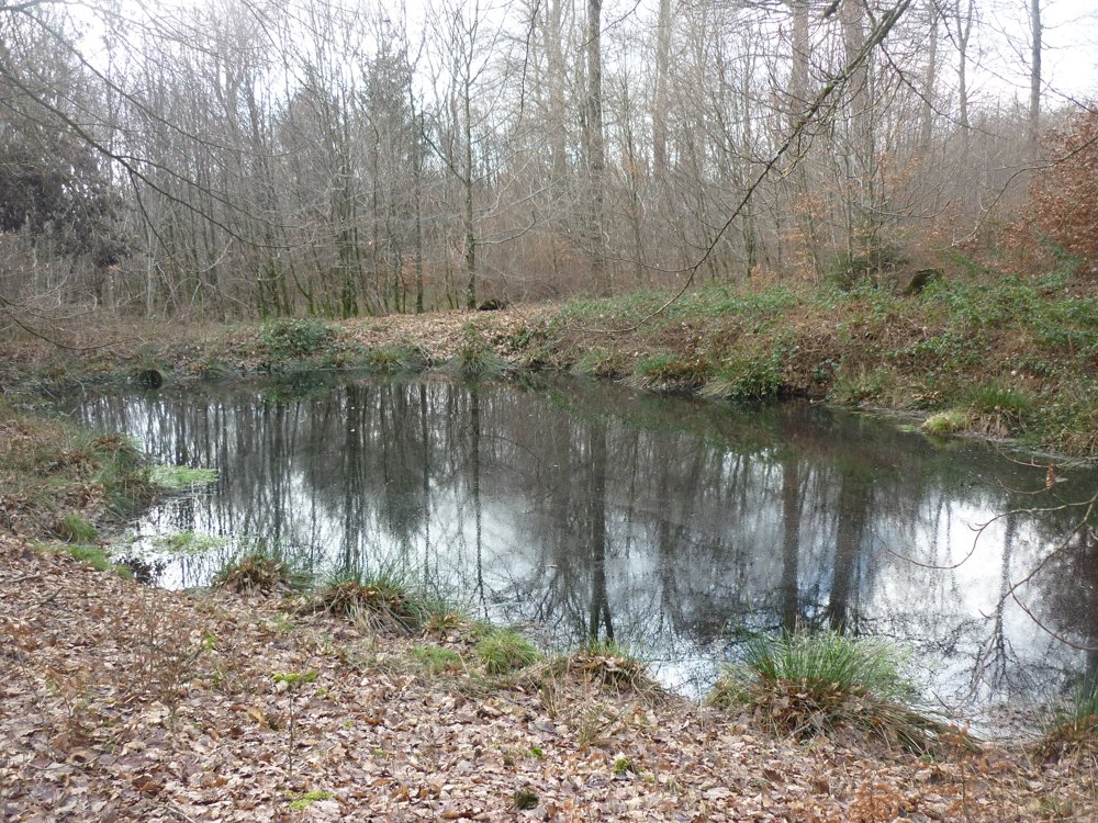
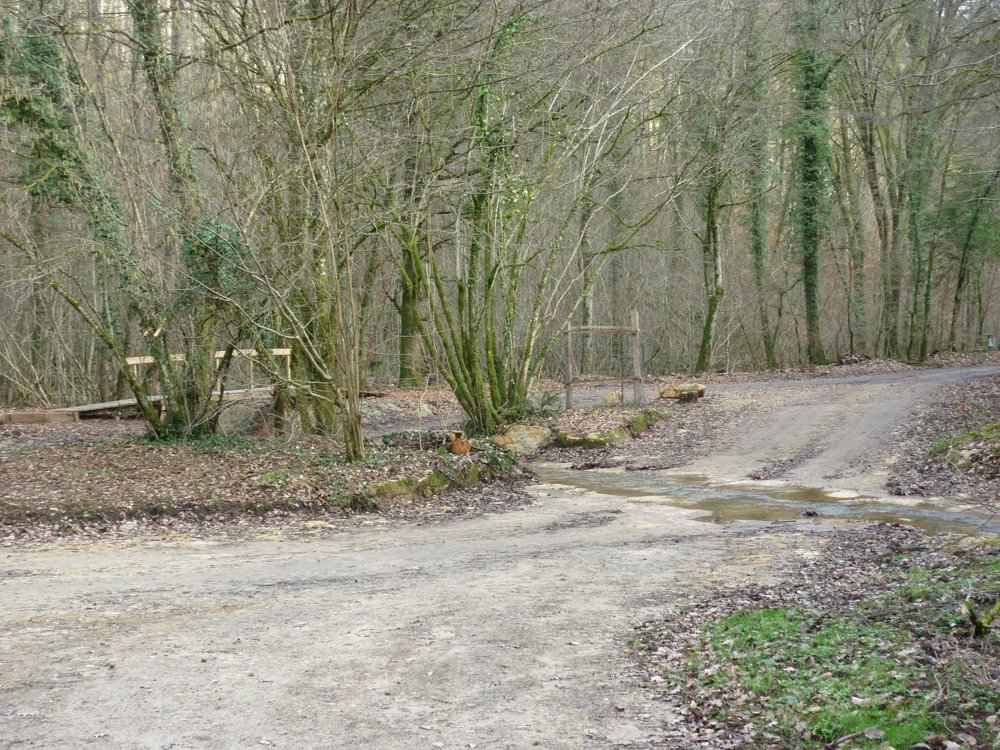
The walk entirely takes you through the beautiful forests of the Biischtert nature reserve.
The Nature Reserve Méchelbuch-Biischtert is a nature reserve of national importance in Luxembourg, in the municipalities of Bissen and, to a lesser extent, in the municipalities of Colmar-Berg and Vichten, which was established by a Grand Ducal Decree on 11 February 2020.
It covers an area of 329 hectares and surrounds the Biischt forest and its surroundings, including the Giedchesbisch, the Houbiistert, and parts of the Herenhecken. It is a forest with several small ponds and wetlands. Along the southern edge runs the Helmeschbach, which feeds two more ponds.
More photos: https://photos.app.goo.gl/8DYMHawkkaPfhsRr5
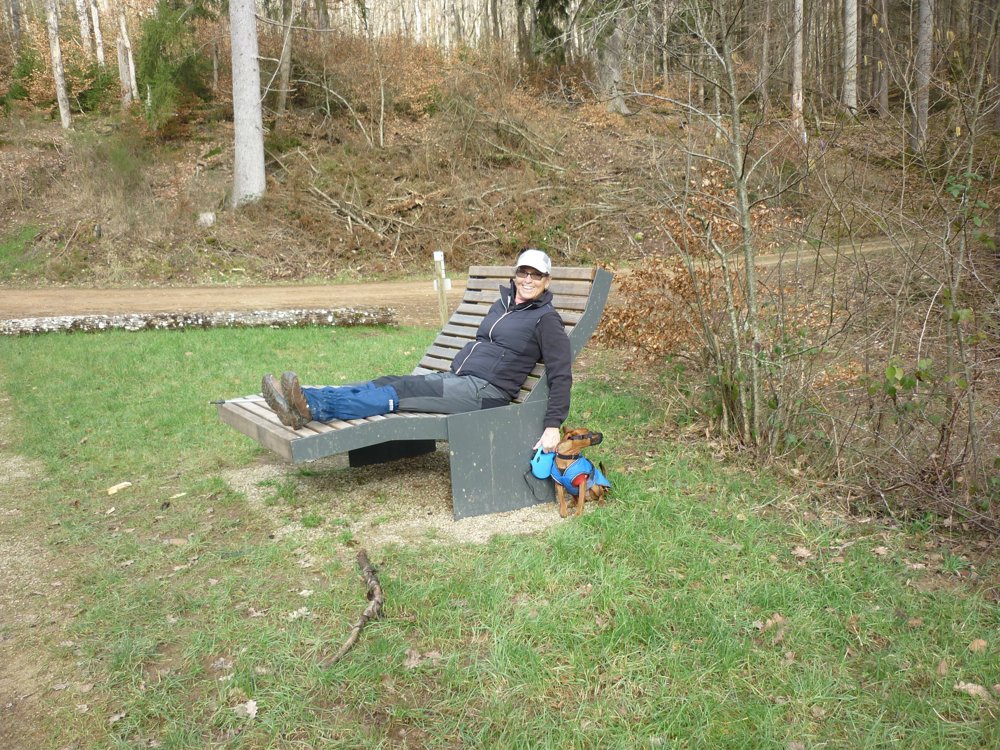
Happy walking,
Eddy, Rita and Prinske
automatic translation


 Upgrade to Premium Plus
