 Hiking
 Login
Login More
More EN
EN Premium
Kasterlee: Gnome Mountain
automatic translation
8 km • Kasterlee
2552 0 0/5

 Addresse starting point (approximate)
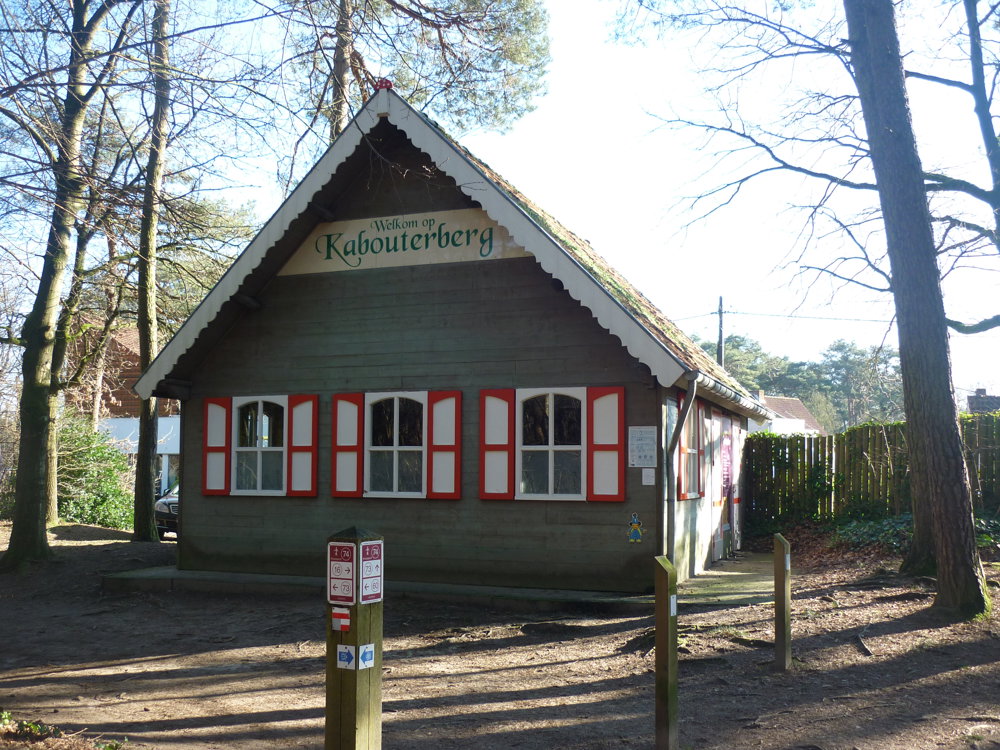
Kabouterstraat 5, 2460 Kasterlee, BE
 signage
The route is partially signposted with nodes. Use a GPS device or our app to follow the route.
 Description
We took this beautiful nature walk on 02/02/2025.
Parking is available in different locations. We left the car in the spacious parking lot on Kabouterstraat near Kabouterberg.
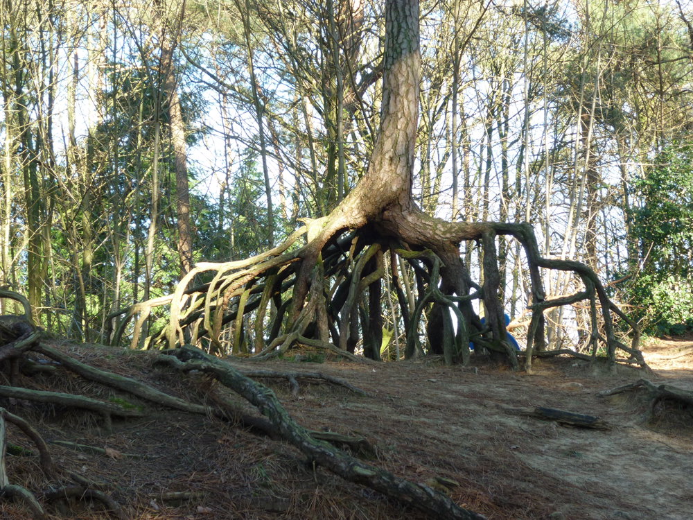
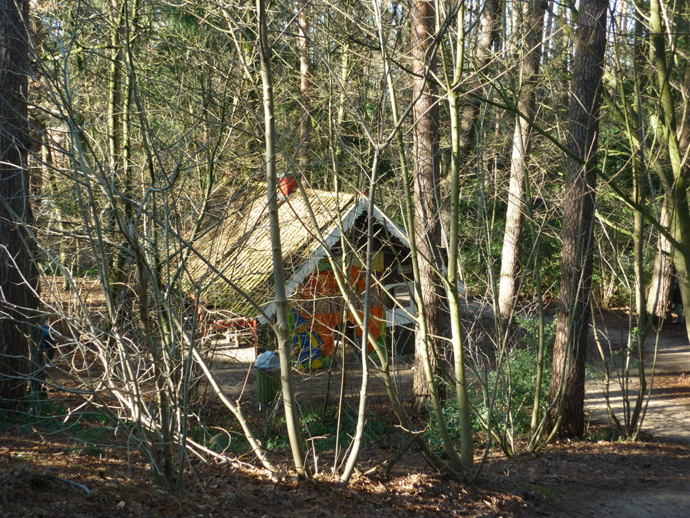
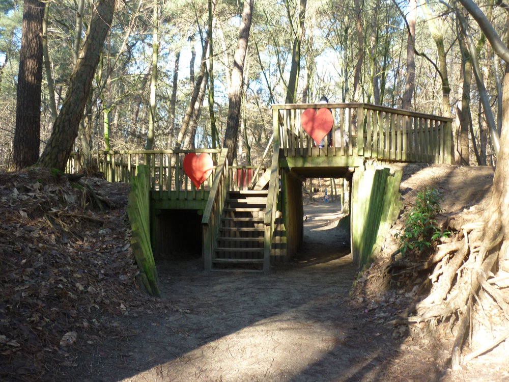
Kasterlee and its Kabouterberg are well-known in the Kempen. The Kabouterberg is a recreational area in Kasterlee, province of Antwerp, specially designed for children. The area is located along Geelsebaan, opposite the windmill Keeses Molen, and stretches from the foot of the Kempense Heuvelrug to the top. The sand plains, dune ridges, and elevation differences are used for walking paths, obstacles, and play areas. The Kabouterberg also served as a filming location for "The House of Anubis and the Five of the Magical Sword".
For the walk, we initially chose the junction network, from which we quickly deviated. So it became a semi-signposted route. All paths are accessible, though.
More photos: https://photos.app.goo.gl/ZzDebA61xWiYJ8Du6
Enjoy your walk,
Eddy, Rita, and Prinske
automatic translation
 nodes to follow
0 km
0.3 km

0.6 km
0.8 km
1.4 km
1.4 km
1.6 km
2.2 km
2.3 km
2.4 km
2.4 km
2.7 km
3 km
3.6 km
4.4 km
4.6 km
4.8 km
5.2 km
5.6 km
5.7 km
6.8 km
7.1 km
7.5 km
7.5 km
7.7 km
7.9 km
8 km
8 km


 Upgrade to Premium Plus
