 Hiking
 Login
Login More
More EN
EN Premium
Auto-pedestrian Vichten
automatic translation
11.7 km • Vichten
120 0 0/5

 Addresse starting point (approximate)
Rue Principale 25, 9190 Vichten, LU
 signage
The route is fully signposted with thematic signs (no nodes).
 Description
Markings in both directions: blue diamond on white background
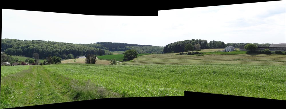
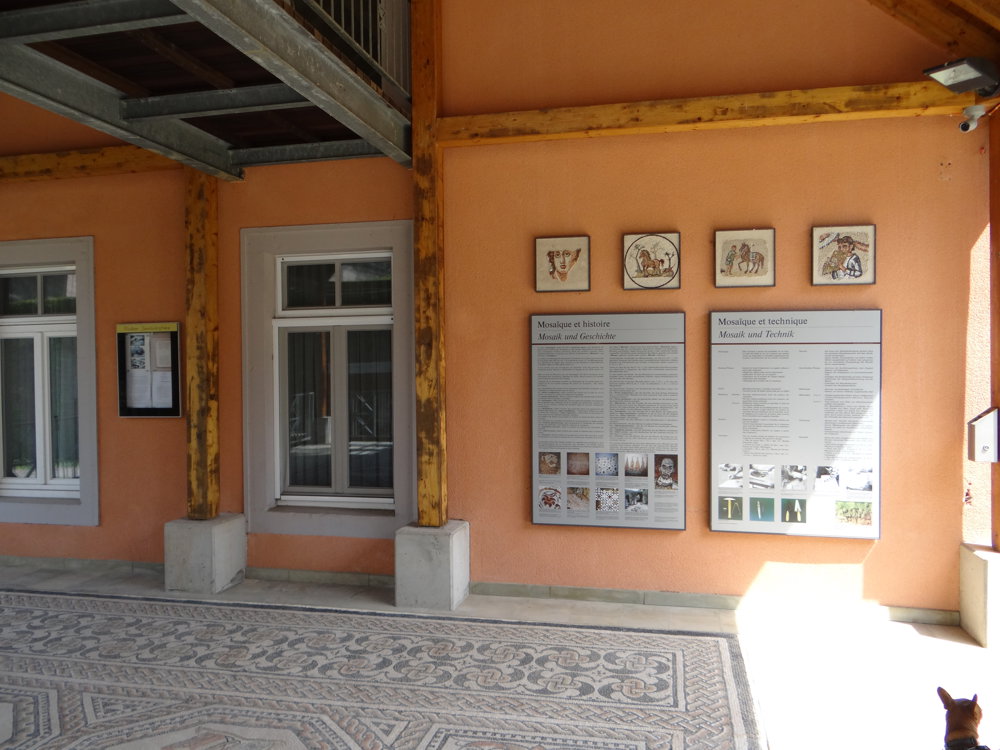
It is a beautiful nature walk with many stunning views. In Vichten, be sure to check out the replica of a Roman mosaic.
The municipality of Vichten owes its international fame to the discovery of a Roman mosaic in 1995, depicting Homer surrounded by the nine Muses. Here, you can view a copy of the mosaic, as well as the exhibition of the remains of the Roman Villa of Rippweiler in the museum, and if desired, book a presentation about the Romans around Vichten. It is located next to the church, which is also well worth a visit.
Furthermore, you can also visit the beautiful Lourdes grotto, which lies just outside the center of Vichten.
More photos:
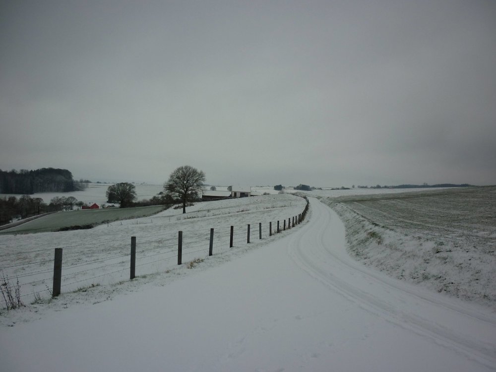
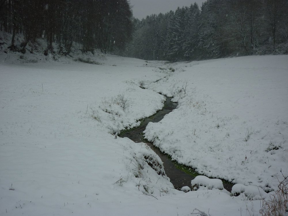
with snow: https://photos.app.goo.gl/9DZWhvvqeG3jQ11Y6
without snow: https://photos.app.goo.gl/F58zzNrwygMToBes7
Enjoy this walk,
Eddy, Rita, and Prinske
automatic translation


 Upgrade to Premium Plus
