Loading...

Combination Heiderscheid, ES4, ES9, ES14

automatic translation

16.6 km • Esch-sur-Sûre

80 0 0/5

16.6 km 0.0 km 0.0 km
10 km
© OpenStreetMap contributors, Tracestrack

route offered by

Eddy & Rita

Icon starting point Addresse starting point (approximate)

Fuussekaul 4, 9156 Esch-sur-Sûre, LU

Icon type signage of route signage

The route is not signposted. Use a GPS device or our app to follow the route.

390.3 m 310.2 m 521.1 m 327.2 m These values indicate respectively the number of meters to rise, the highest and the lowest point in meters.
Atmosphere image 1 of route Combination Heiderscheid, ES4, ES9, ES14 Atmosphere image 2 of route Combination Heiderscheid, ES4, ES9, ES14 Atmosphere image 3 of route Combination Heiderscheid, ES4, ES9, ES14
© Eddy & Rita

Icon description route Description

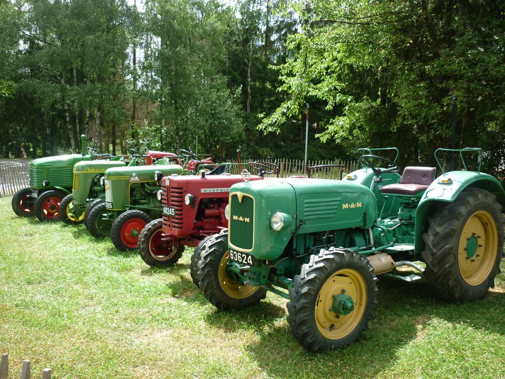
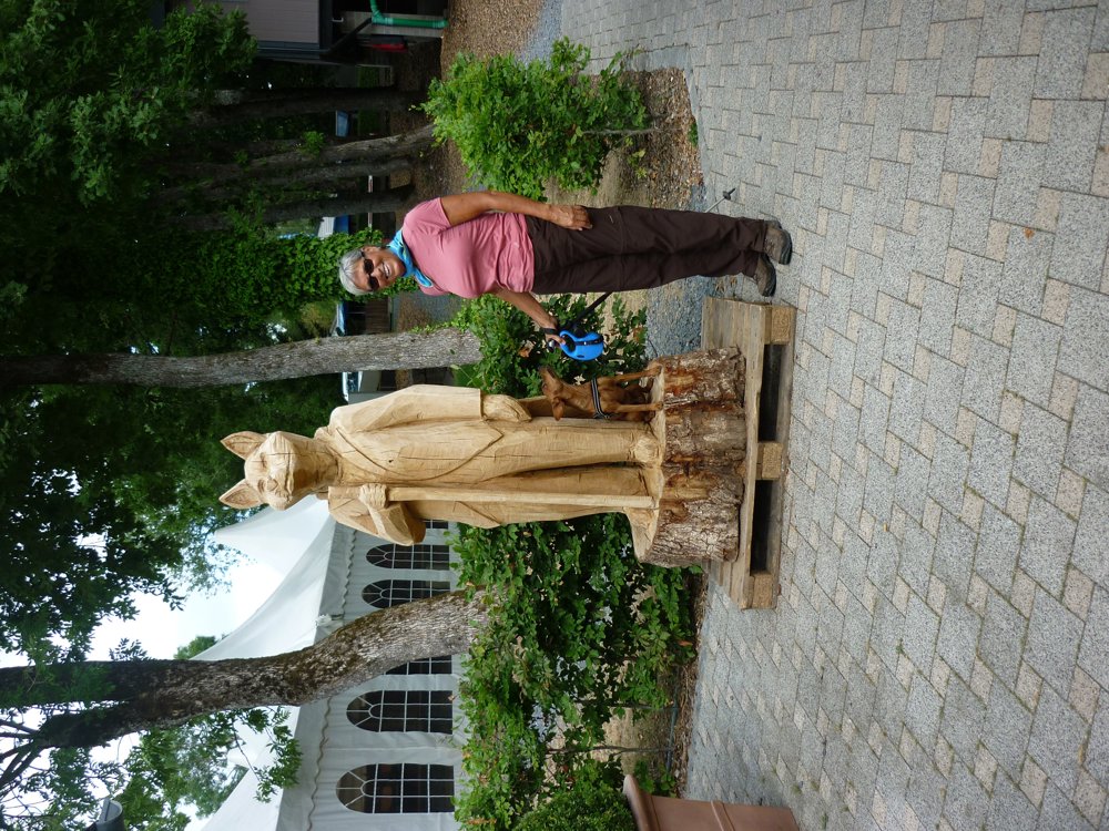
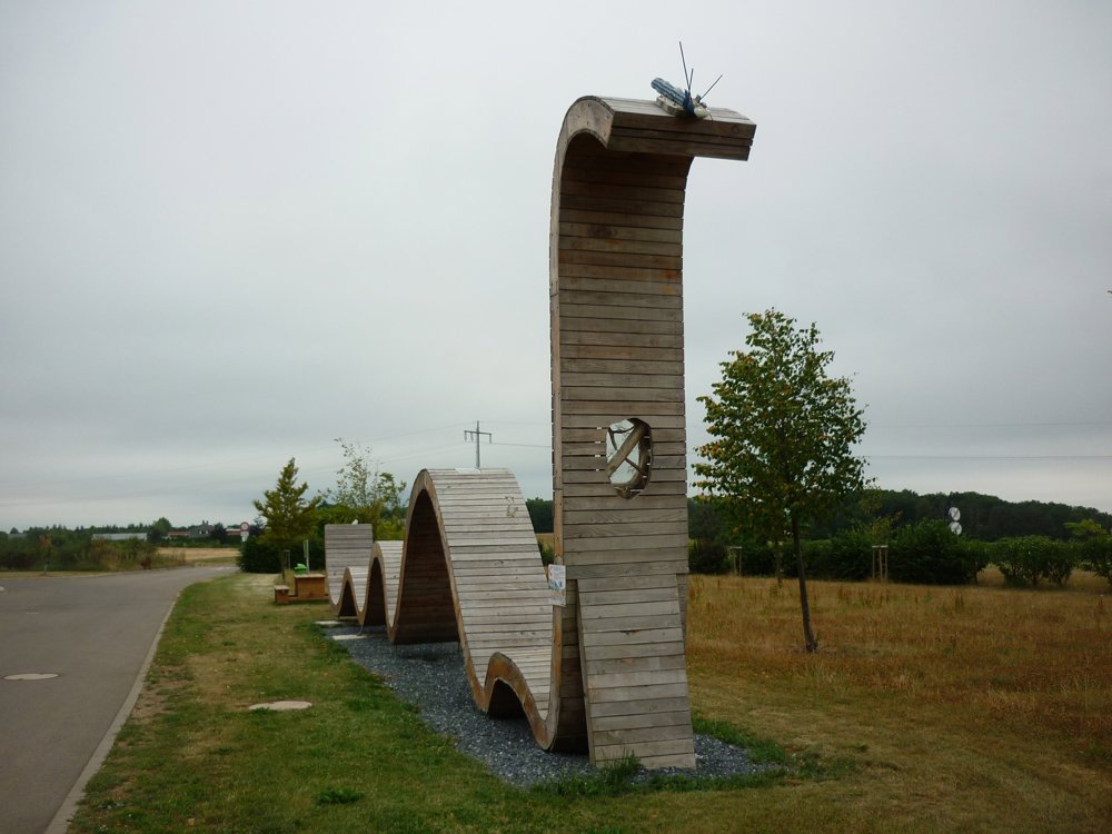
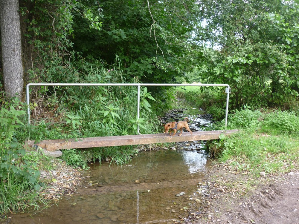
We did this beautiful, varied walk that starts from the "Fuussekaul" campsite in Heiderscheid on 26-07-2022.

It is a combination of various locally signposted walks: ES4, Heiderscheid B, ES9, and ES14.

You pass through the beautiful villages of Heiderscheid and Merscheid. The local walks that start at the campsite are not very long. Therefore, this one is ideal for those who like to walk slightly longer distances.

More photos: https://photos.app.goo.gl/USwjvWNT53C9V5Rn7

Enjoy this walk,
Eddy, Rita, and Prinske

automatic translation

This route does not have any reviews yet. Be the first!
Rate route!

Which POI do you want to show on the map?

Experimental hiking network
Unsigned icon

The route you have chosen runs (partly) along an experimental virtual hiking node network (the blue-coloured nodes and sections on the map).

You must be logged in to plan routes here.

Experimental hiking network
Unsigned icon

The route you have chosen runs (partly) along an experimental virtual hiking node network (the blue-coloured nodes and sections on the map).

These routes are not controlled in the field. Before you start hiking here, take a minute to read what an experimental hiking node network is and what rules you should follow when hiking here.

By clicking 'Accept all cookies,' you agree to the use of cookies for an enhanced user experience, website traffic analysis, and personalized advertisements. Cookie policy