 Hiking
 Login
Login More
More EN
EN Premium
Nat'Our route 4
automatic translation
15.3 km • Putscheid
150 0 0/5

 Addresse starting point (approximate)
Rue Du Faubourg 1, 9464 Putscheid, LU
 signage
The route is fully signposted with thematic signs (no nodes).

 Description
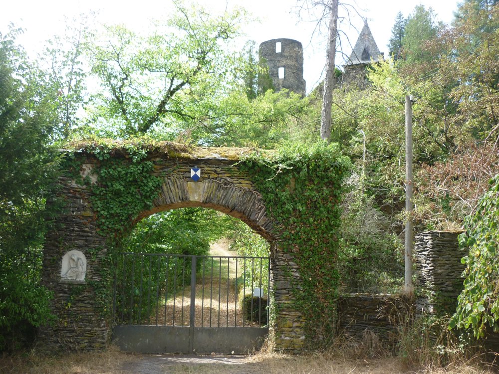
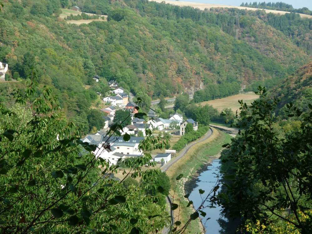
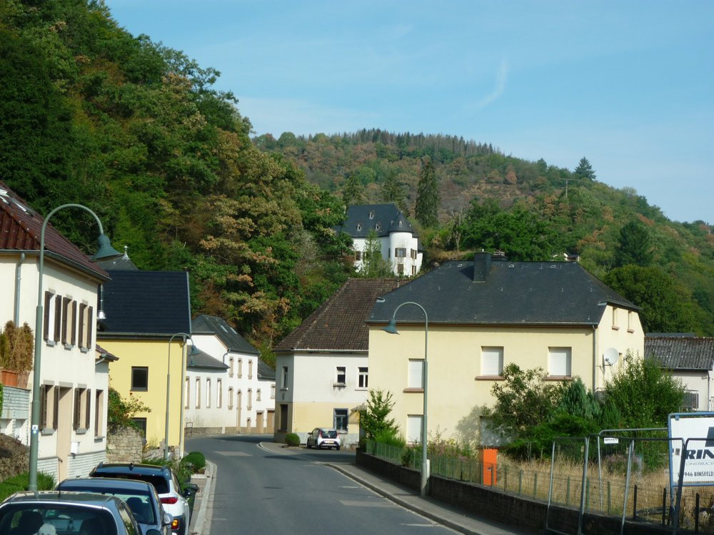
On this fascinating tour, one can admire not only the delightful impressions of nature but also many things created by human hands.
Until the 1950s, there was no reservoir here. The Our, as a small stream, curved around Bivels, which looked very different back then. St. Nicolas still had a hilltop as well.
The landscape testifies to one of the most impressive construction projects in Luxembourg from the mid-20th century. Here, almost invisibly, is one of Europe's largest pump-driven power plants. Deep beneath the routes, the mass of water roars in enormous pipes between the reservoir and the upper basin on Mont St. Nicolas.
Much older stories of mining are told by the copper mine in Stolzemburg. In addition to all the technical fascination, this tour also offers the most beautiful motifs for postcards from the distant surroundings.
More photos: https://photos.app.goo.gl/9Mepio5cgkh8pSTp8
Happy hiking,
Eddy, Rita and Prinske
automatic translation


 Upgrade to Premium Plus
