Loading...

Bourglinster, half Mullerthal extra tour D

automatic translation

14.1 km • Junglinster

130 0 0/5

14.1 km 0.0 km 0.0 km
10 km
© OpenStreetMap contributors, Tracestrack

route offered by

Eddy & Rita

Icon starting point Addresse starting point (approximate)

Rue Du Château 6, 6162 Junglinster, LU

Icon type signage of route signage

The route is partially signposted with thematic signs (no nodes). Use a GPS device or our app to follow the route.

229.1 m 277.2 m 432.7 m 333.6 m These values indicate respectively the number of meters to rise, the highest and the lowest point in meters.
Atmosphere image 1 of route Bourglinster, half Mullerthal extra tour D Atmosphere image 2 of route Bourglinster, half Mullerthal extra tour D Atmosphere image 3 of route Bourglinster, half Mullerthal extra tour D
© Eddy & Rita

Icon description route Description

This route is the southern half of the Mullerthal Trail Extra Tour D, which is 31.2 km long.

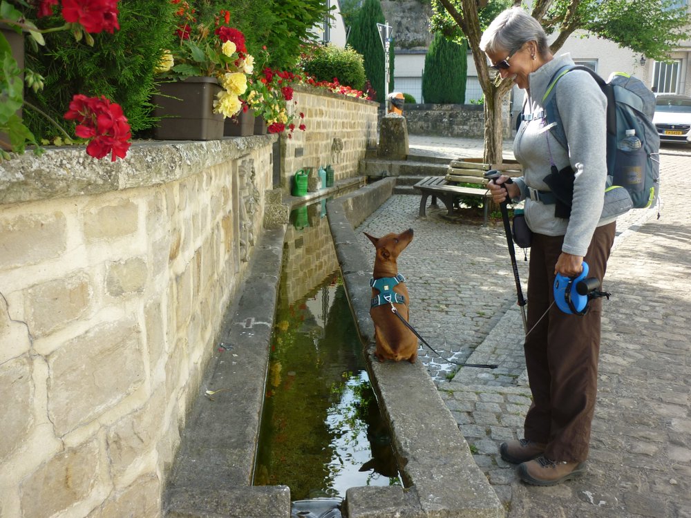
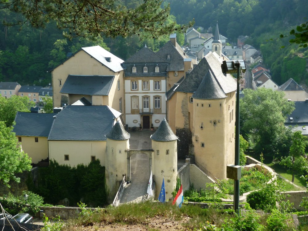
We departed from the parking lot of the castle of Bourglinster in Rue Du Château. The loop is well signposted. However, since we only did half, we had to deviate from the signposting in the north to close the half loop.

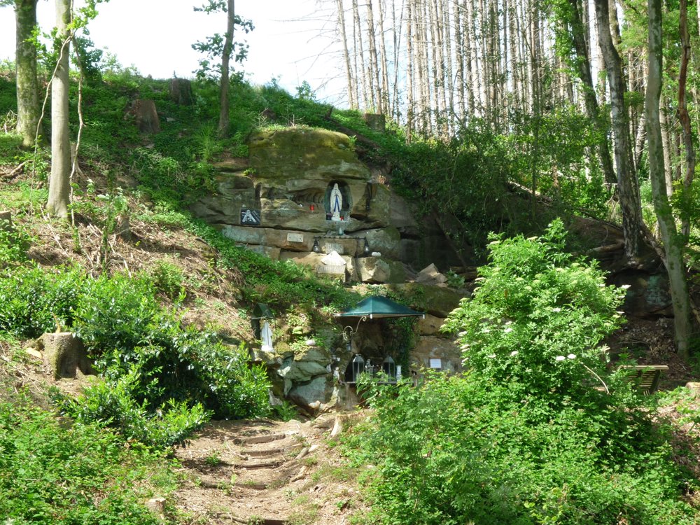
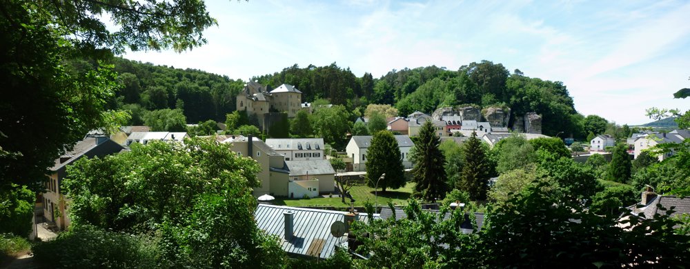
It is an easy walk, where one stays mostly in the beautiful, varied forests. It is therefore an ideal summer hike. Here and there, you get some nice views.

The southern half of this loop runs more in the 'Gutland' than in the 'Mullerthal'. Don't expect spectacular rock formations, but it is still a beautiful nature walk!

More photos: https://photos.app.goo.gl/T6WV8NcHj7p83KYq6

Happy hiking,
Eddy, Rita and Prinske

automatic translation

This route does not have any reviews yet. Be the first!
Rate route!

Which POI do you want to show on the map?

Experimental hiking network
Unsigned icon

The route you have chosen runs (partly) along an experimental virtual hiking node network (the blue-coloured nodes and sections on the map).

You must be logged in to plan routes here.

Experimental hiking network
Unsigned icon

The route you have chosen runs (partly) along an experimental virtual hiking node network (the blue-coloured nodes and sections on the map).

These routes are not controlled in the field. Before you start hiking here, take a minute to read what an experimental hiking node network is and what rules you should follow when hiking here.

By clicking 'Accept all cookies,' you agree to the use of cookies for an enhanced user experience, website traffic analysis, and personalized advertisements. Cookie policy