 Hiking
 Login
Login More
More EN
EN Premium
Mullerthal Trail Extra Tour D northern loop
automatic translation
18.2 km • Bech
130 0 0/5

 Addresse starting point (approximate)
Dikkrecherstrooss 12, 7639 Bech, LU
 signage
The route is fully signposted with thematic signs (no nodes).

 Description
We parked the car in a small parking lot along the N14 in Blumenthal.
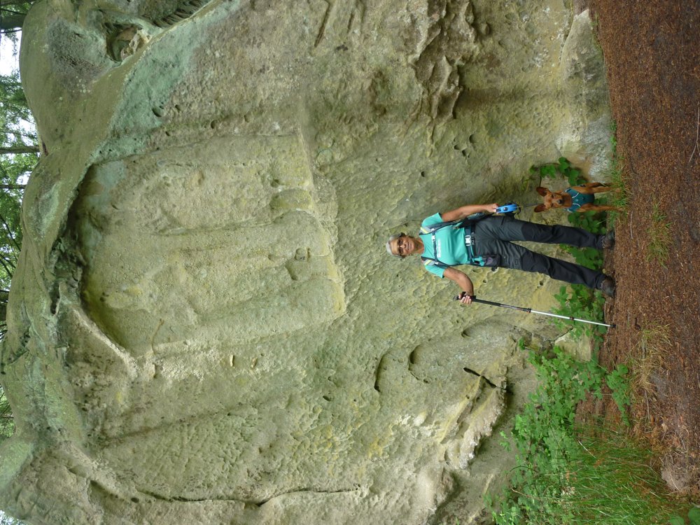
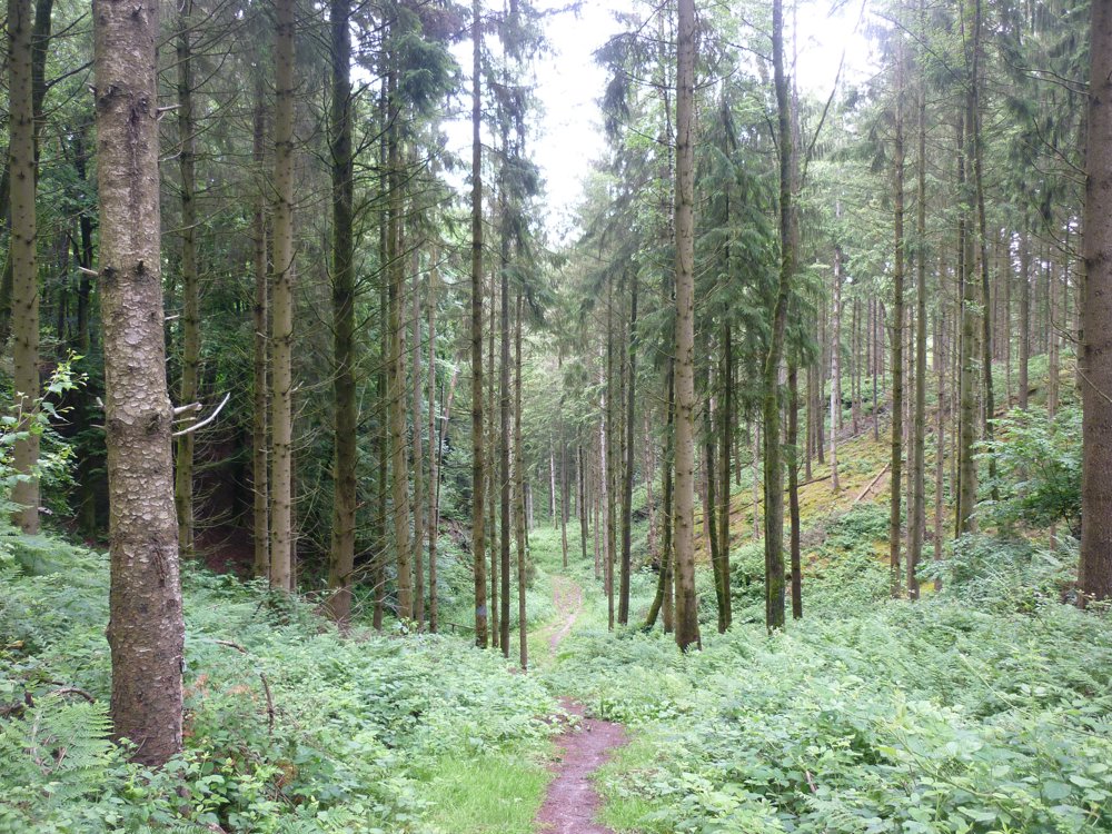
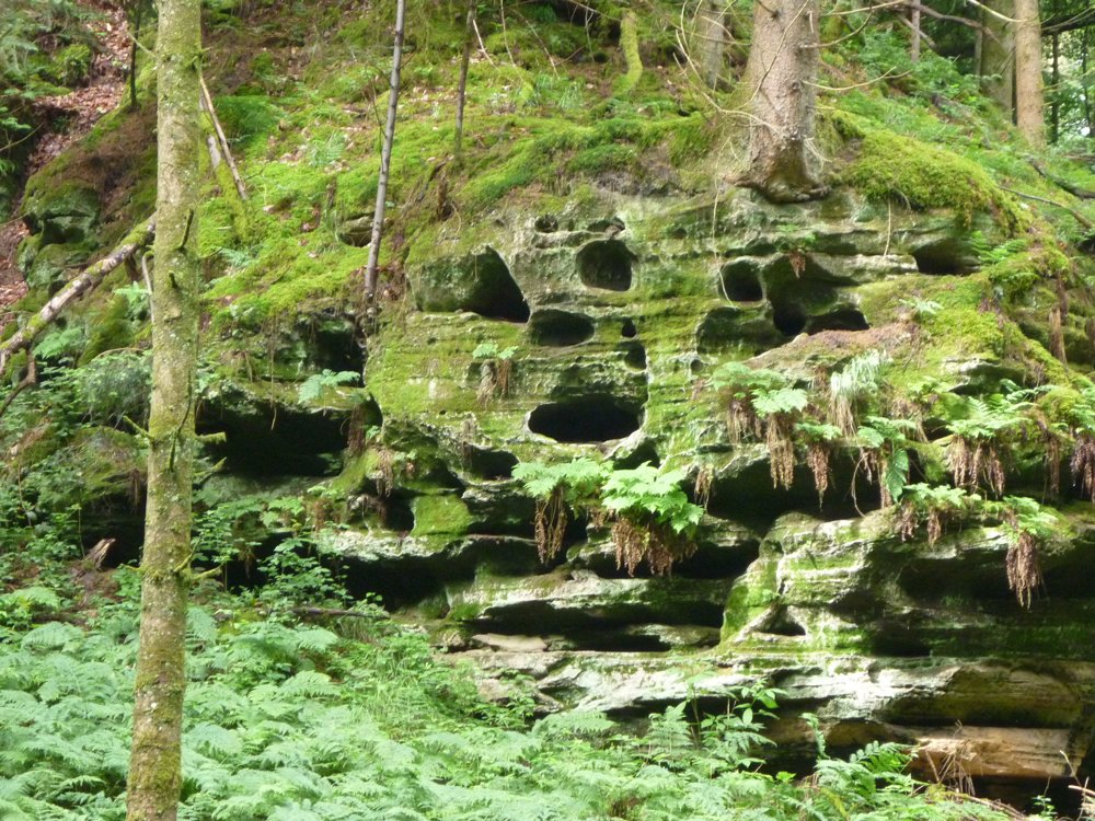
It is the northern loop of the Mullerthal Extra Tour D, which is 31.2 km long and which we split in two. The hike is very varied. In the southern loop, there were almost no rock formations encountered, but in this one there are. It's not yet top Mullerthal, but still nice to see.
Here and there, one can visit historical sites. It is quite an easy walk (at least for us) where one stays for the most part in the beautiful varied forests. It is therefore an ideal summer walk. Here and there, one gets a few beautiful views.
More photos: https://photos.app.goo.gl/eq8T8wDEUn8AuNkR9
Happy hiking!
Eddy, Rita, and Prinske
automatic translation


 Upgrade to Premium Plus
