 Hiking
 Login
Login More
More EN
EN Premium
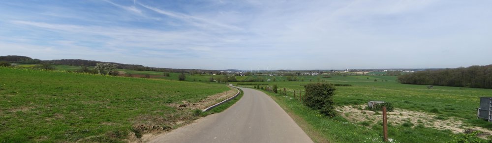
Auto-Pedestrian Garnich
automatic translation
9.1 km • Garnich
100 0 0/5

 Addresse starting point (approximate)
Rue Des Trois Cantons 11, 8354 Garnich, LU
 signage
The route is fully signposted with thematic signs (no nodes).

 Description
Markings in both directions: blue diamond on white background
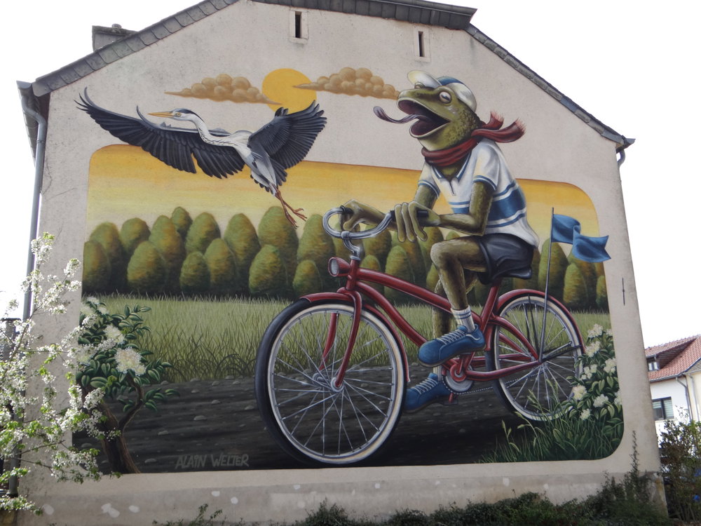
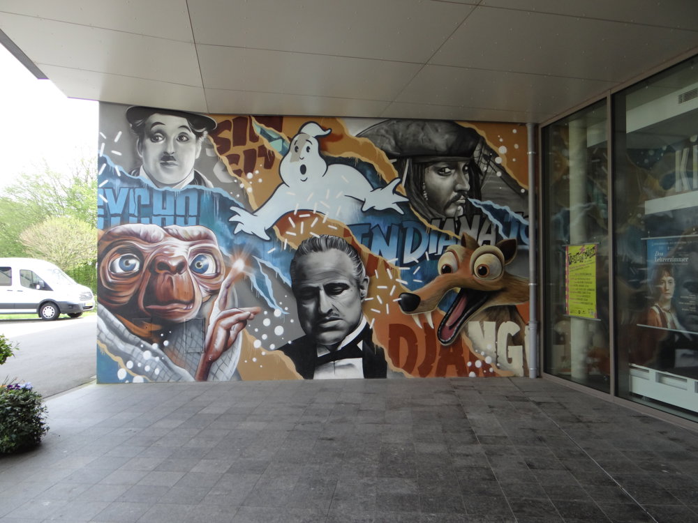
Among the idyllic villages scattered like gems in the west of Luxembourg, there is one that goes a step further than the rest. During a visit to Kahler (municipality of Garnich), you can admire the many colorful graffiti artworks on the house facades.
Under the motto "Make Koler Kooler," a young local artist, along with some colleagues, has transformed the village house facades into a large artwork. And because creativity is contagious, the residents of Kahler decided to go a step further in the "urbanization" of their village: they set up a cinema in the building of the old school, which is no less equipped than a large complex.
More photos: https://photos.app.goo.gl/EeSPwcPu1yumPQRJ6
Happy hiking,
Eddy, Rita, and Prinske
automatic translation


 Upgrade to Premium Plus
