Loading...

Postel: along smuggling paths

automatic translation

11.2 km • Mol

1270 0 0/5

11.2 km 0.0 km 0.0 km
10 km
© OpenStreetMap contributors, Tracestrack

route offered by

Eddy & Rita

Icon starting point Addresse starting point (approximate)

Abdijlaan 30, 2400 Mol, BE

Icon type signage of route signage

The route is fully signposted with nodes.

19.4 m 13.9 m 44.7 m 35.6 m These values indicate respectively the number of meters to rise, the highest and the lowest point in meters.
Atmosphere image 1 of route Postel: along smuggling paths Atmosphere image 2 of route Postel: along smuggling paths Atmosphere image 3 of route Postel: along smuggling paths
© Eddy & Rita

Icon description route Description

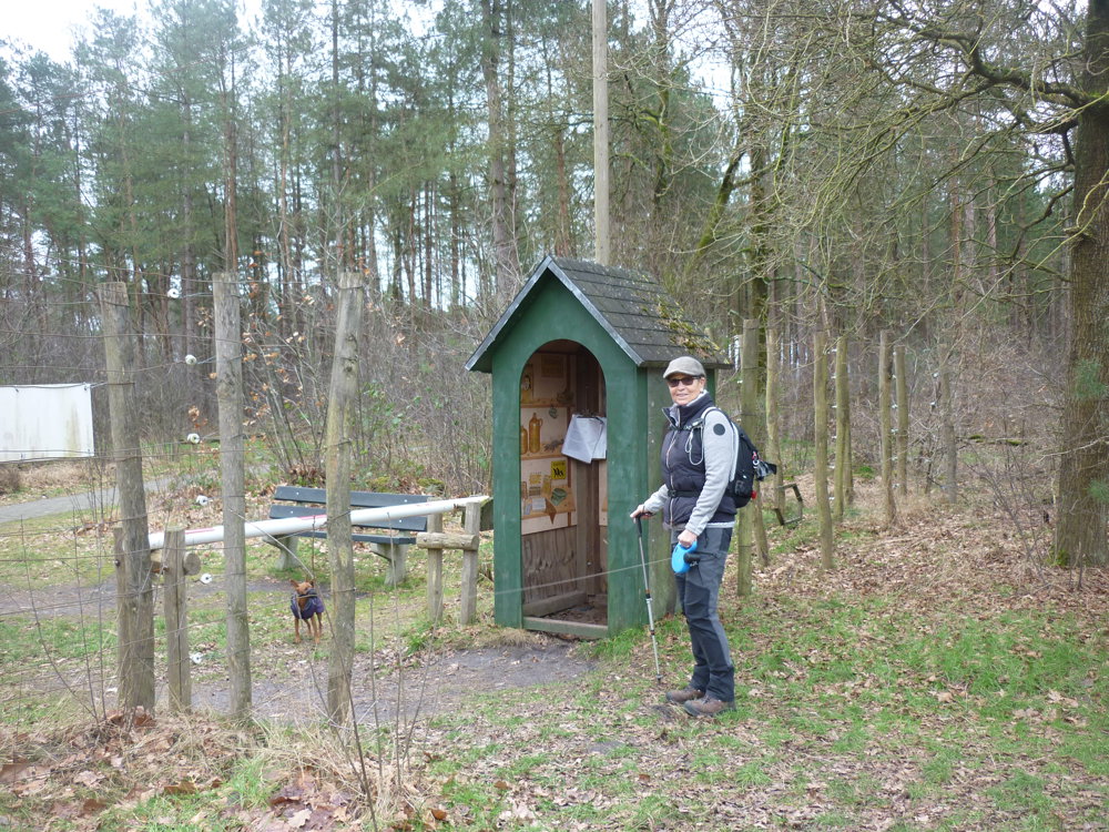
We did this walk on 01/28/2025.

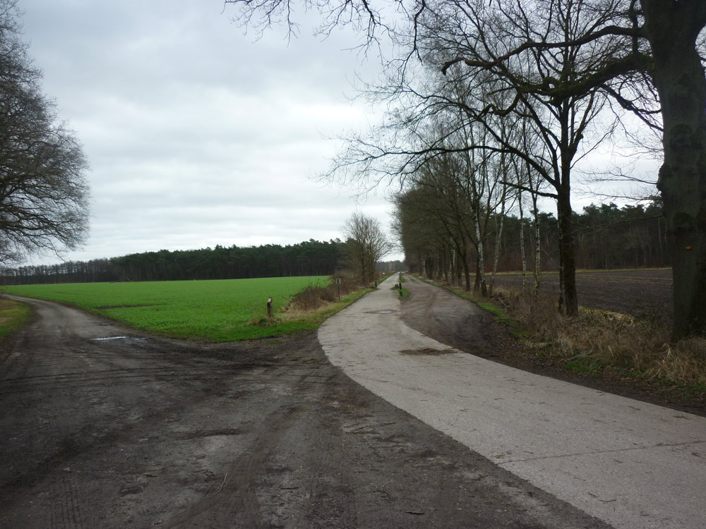
Although it's a straightforward route, it is anything but boring. The variation in vegetation and terrain ensures that the walk remains engaging.

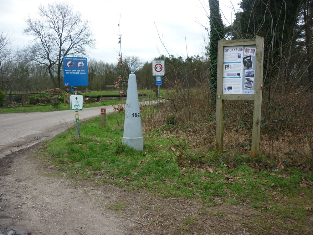
Along the way, informational boards provide an impression of life during wartime. A border installation (death wire) with a barrier tells of the dramas and cruelties the population had to endure back then.

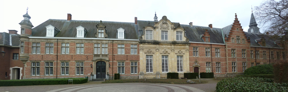
We parked in the large parking lot of the abbey of Postel. The stalls were closed, but on the weekend one can enjoy a snack, drink, or ice cream after this vigorous walk.

More photos: https://photos.app.goo.gl/FCw9N645kbyKFF7a6

We wish you lots of hiking pleasure,
Eddy, Rita, and Prinske

automatic translation

Icon nodes to follow nodes to follow

Image node 14
0 km
Image node 12
0.3 km
Image node 13
0.6 km
Image node 5
2.6 km
Image node 6
5.4 km
Image node 6
5.5 km
Image node 7
5.7 km
Image node 7
5.7 km
Image node 8
6.3 km
Image node 8
6.3 km
Image node 8
6.3 km
Image node 9
7.1 km
Image node 9
7.2 km
Image node 4
7.7 km
Image node 12
10.9 km
Image node 14
11.2 km
This route does not have any reviews yet. Be the first!
Rate route!

Which POI do you want to show on the map?

Experimental hiking network
Unsigned icon

The route you have chosen runs (partly) along an experimental virtual hiking node network (the blue-coloured nodes and sections on the map).

You must be logged in to plan routes here.

Experimental hiking network
Unsigned icon

The route you have chosen runs (partly) along an experimental virtual hiking node network (the blue-coloured nodes and sections on the map).

These routes are not controlled in the field. Before you start hiking here, take a minute to read what an experimental hiking node network is and what rules you should follow when hiking here.

By clicking 'Accept all cookies,' you agree to the use of cookies for an enhanced user experience, website traffic analysis, and personalized advertisements. Cookie policy