Kesselse Heide and Fort

automatic translation

9.9 km • Nijlen

2460 0 0/5

9.9 km 0.0 km 0.0 km
10 km
© OpenStreetMap contributors, Tracestrack

route offered by

Eddy & Rita

Icon starting point Addresse starting point (approximate)

Lindekensbaan 88, 2560 Nijlen, BE

Icon type signage of route signage

The route is fully signposted with nodes.

69.2 m 74.4 m 24.4 m 3.3 m These values indicate respectively the number of meters to rise, the highest and the lowest point in meters.
Atmosphere image 1 of route Kesselse Heide and Fort Atmosphere image 2 of route Kesselse Heide and Fort Atmosphere image 3 of route Kesselse Heide and Fort
© Eddy & Rita

Icon description route Description

We did this walk on 23/01/2025

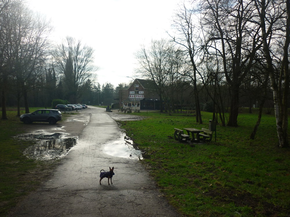
For this walk, we parked the car in the spacious parking lot of the Provincial Green Domain Kesselse Heide. Public transport enthusiasts can also start from Kessel station.

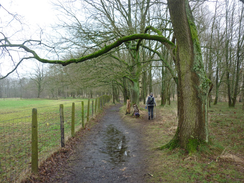
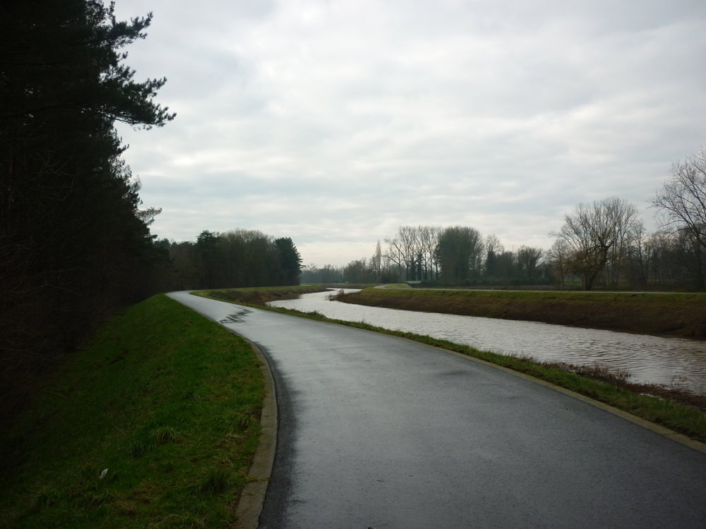
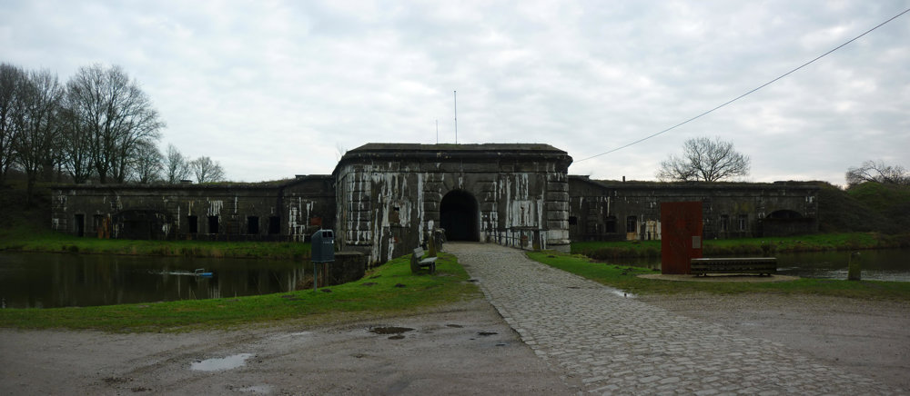
This route is very varied and there is also a lot to see. The Green Domain on its own is a feast for the eyes. It also passes along the Kleine Nete and the Fort of Kessel should definitely be part of a walk like this. As for the terrain, you sometimes get muddy paths (especially during wet periods) and then again hardened ground under your feet. Plenty of variation, therefore.

More photos: https://photos.app.goo.gl/DXBFfeMnkmCVT9Ap7

Happy walking,
Eddy, Rita and Prinske

automatic translation

Icon nodes to follow nodes to follow

Image node 55
0 km
Image node 56
0.2 km
Image node 52
0.4 km
Image node 52
0.4 km
Image node 45
0.8 km
Image node 47
1.2 km
Image node 48
1.4 km
Image node 51
1.6 km
Image node 50
1.9 km
Image node 57
2.9 km
Image node 74
3.5 km
Image node 89
3.8 km
Image node 73
4 km
Image node 72
4.4 km
Image node 71
4.7 km
Image node 70
5.1 km
Image node 67
6 km
Image node 66
6.4 km
Image node 62
6.9 km
Image node 63
7 km
Image node 64
7.8 km
Image node 61
8.1 km
Image node 61
8.1 km
Image node 61
8.1 km
Image node 43
8.7 km
Image node 44
9 km
Image node 42
9.2 km
Image node 41
9.4 km
Image node 53
9.6 km
Image node 54
9.7 km
Image node 55
9.9 km
This route does not have any reviews yet. Be the first!
Rate route!

Which POI do you want to show on the map?

Experimental hiking network
Unsigned icon

The route you have chosen runs (partly) along an experimental virtual hiking node network (the blue-coloured nodes and sections on the map).

You must be logged in to plan routes here.

Experimental hiking network
Unsigned icon

The route you have chosen runs (partly) along an experimental virtual hiking node network (the blue-coloured nodes and sections on the map).

These routes are not controlled in the field. Before you start hiking here, take a minute to read what an experimental hiking node network is and what rules you should follow when hiking here.

By clicking 'Accept all cookies,' you agree to the use of cookies for an enhanced user experience, website traffic analysis, and personalized advertisements. Cookie policy