Loading...

Station walk Geel-Herentals

automatic translation

15.2 km • Geel

750 0 0/5

15.2 km 0.0 km 0.0 km
10 km
© OpenStreetMap contributors, Tracestrack

route offered by

Eddy & Rita

Icon starting point Addresse starting point (approximate)

Stationsstraat 177, 2440 Geel, BE

Icon type signage of route signage

The route is partially signposted with nodes. Use a GPS device or our app to follow the route.

27.4 m 33.1 m 21.9 m 8.9 m These values indicate respectively the number of meters to rise, the highest and the lowest point in meters.
Atmosphere image 1 of route Station walk Geel-Herentals Atmosphere image 2 of route Station walk Geel-Herentals Atmosphere image 3 of route Station walk Geel-Herentals
© Eddy & Rita

Icon description route Description

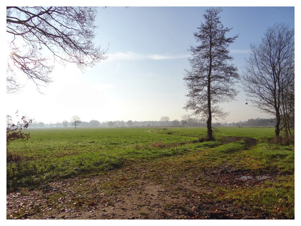
Beautiful varied walk from the station of Geel to the station of Herentals.

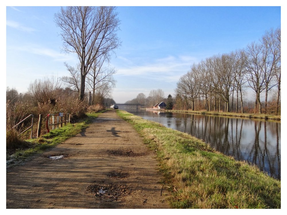
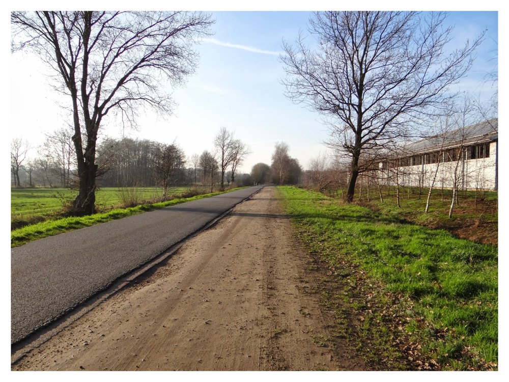
The first four kilometers are paved. Once past 'Bottenhoef', the walk continues on beautiful paths to the Bocholt-Herentals canal, which is followed for approximately 2.6 kilometers until Sint-Jozef-Olen.

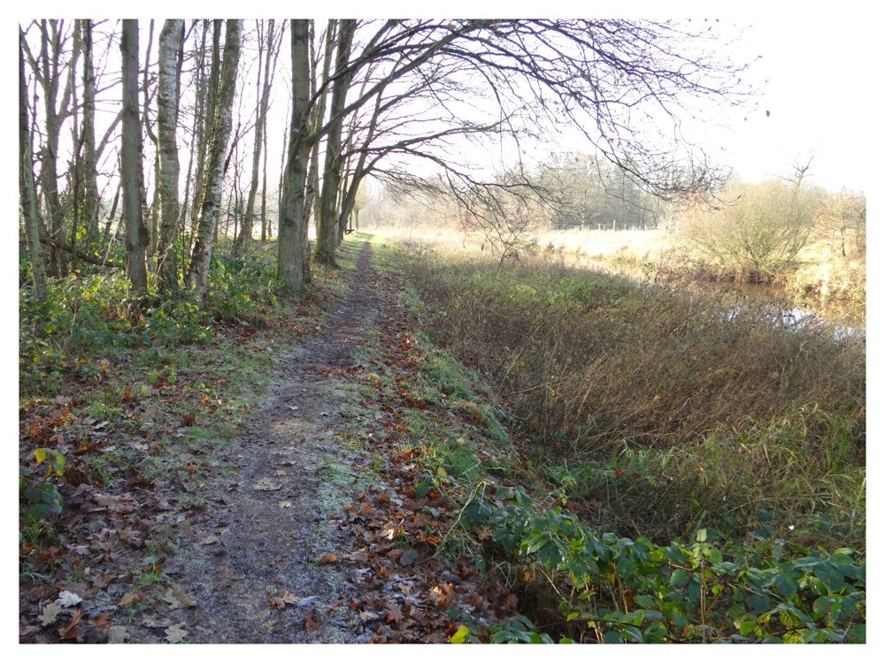
There, one crosses the bridge to dive into the beautiful 'Olens Broek' after a few streets, where one follows the 'Kleine Nete' until arriving in 'Herentals'.

More photos: https://photos.app.goo.gl/RxbumYfLh48K861t9
Happy hiking,
Eddy, Rita, and Prinske

automatic translation

Icon nodes to follow nodes to follow

Icon start route
0 km
Icon deviation route
1.4 km
Icon deviation route
3.7 km
Icon deviation route
5.4 km
Icon deviation route
7.7 km
Icon deviation route
8.3 km
Image node 52
9.3 km
Image node 60
10.1 km
Image node 53
10.4 km
Image node 55
10.9 km
Image node 56
11.1 km
Image node 49
11.4 km
Image node 57
11.8 km
Image node 33
12.3 km
Image node 36
12.5 km
Image node 32
13.3 km
Image node 31
13.8 km
Image node TP
14.7 km
Icon deviation route
14.9 km
Icon stop route
15.2 km
This route does not have any reviews yet. Be the first!
Rate route!

Which POI do you want to show on the map?

Experimental hiking network
Unsigned icon

The route you have chosen runs (partly) along an experimental virtual hiking node network (the blue-coloured nodes and sections on the map).

You must be logged in to plan routes here.

Experimental hiking network
Unsigned icon

The route you have chosen runs (partly) along an experimental virtual hiking node network (the blue-coloured nodes and sections on the map).

These routes are not controlled in the field. Before you start hiking here, take a minute to read what an experimental hiking node network is and what rules you should follow when hiking here.

By clicking 'Accept all cookies,' you agree to the use of cookies for an enhanced user experience, website traffic analysis, and personalized advertisements. Cookie policy