 Hiking
 Login
Login More
More EN
EN Premium
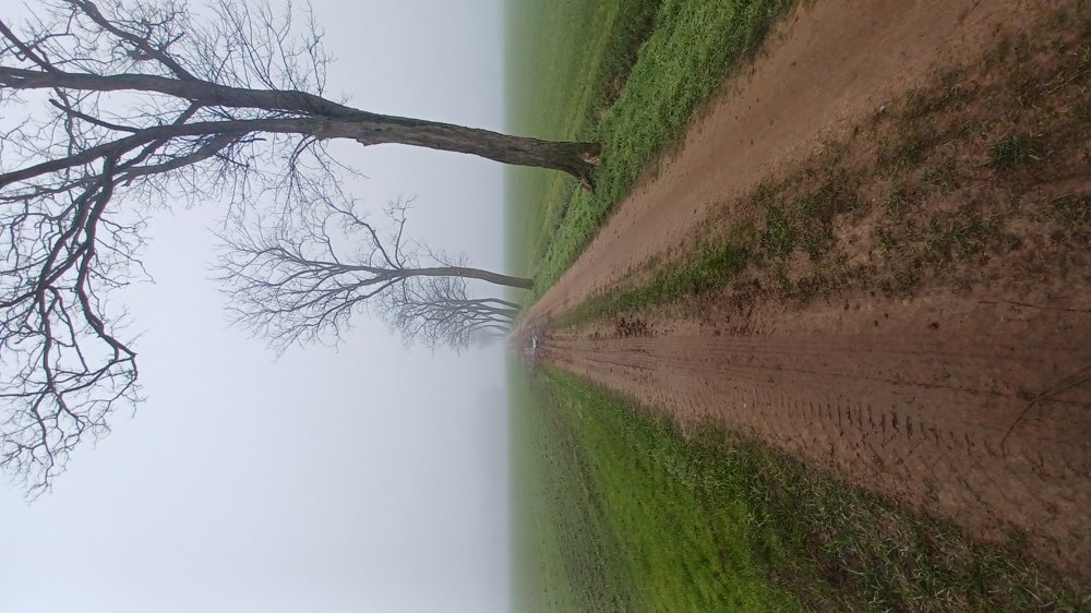
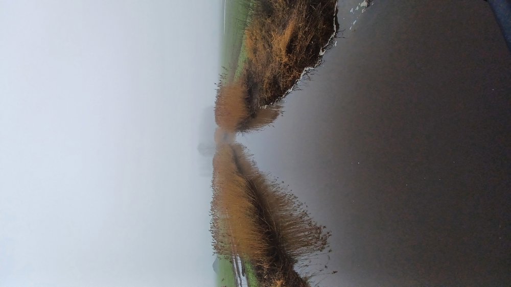
Through the fields of Tielen
automatic translation
9 km • Kasterlee
1840 0 0/5
9 km
0.0 km
0.0 km
10 km
© OpenStreetMap contributors, Tracestrack

 Addresse starting point (approximate)
Stationsplein 19, 2460 Kasterlee, BE
 signage
The route is fully signposted with nodes.
© Jan Theunis
 Description
Parking: Tielen Spoorwegstraat NMBS parking.
Signage: Junctions.
Pass through the railway tunnel to the first junction.
This walk mainly follows low-traffic concrete roads and paved field paths, except for a short section through the fields.
Bench(es): among others at 2.5 / 3.8 / 5 and 6.4 km.
automatic translation
 nodes to follow
0 km

0 km
0.1 km
0.3 km
0.9 km
2.5 km
2.9 km
3.8 km
4.6 km
5.1 km
6.4 km
8.5 km
8.8 km

9 km


 Upgrade to Premium Plus
