Loading...

Along the Western Scheldt and polders (by steam train?)

automatic translation

17.8 km • Borsele

410 0 0/5

17.8 km 0.0 km 0.0 km
10 km
© OpenStreetMap contributors, Tracestrack

route offered by

Wilfried Lambrechts

Icon starting point Addresse starting point (approximate)

Waardweg 4, 4433 RW Borsele, NL

Icon type signage of route signage

The route is fully signposted with nodes.

39 m 39.3 m 7.1 m -1.6 m These values indicate respectively the number of meters to rise, the highest and the lowest point in meters.
Atmosphere image 1 of route Along the Western Scheldt and polders (by steam train?) Atmosphere image 2 of route Along the Western Scheldt and polders (by steam train?) Atmosphere image 3 of route Along the Western Scheldt and polders (by steam train?)
© Wilfried Lambrechts

Icon description route Description

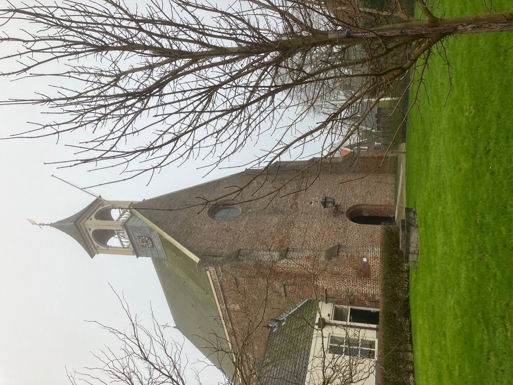
Park in Hoedekenskerke near the charming little church or come by steam train from Goes! https://www.destoomtrein.nl

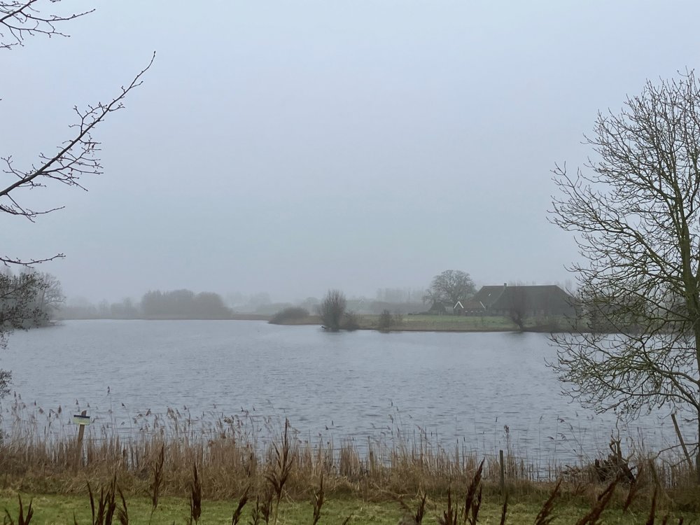
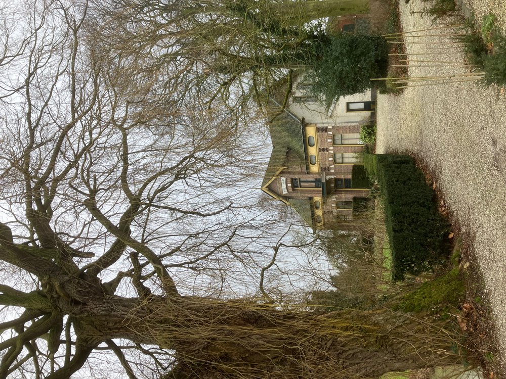
The hike takes you through country roads, unpaved paths, and dikes along the beautiful Western Scheldt and surrounding polders. Discover the many farms (chicory, fruit, livestock, onion farming, ...) that often offer additional tourist attractions. The orchards, in particular, have conquered a lot of polder space here (spring blossoms!). This hike can be very peaceful and secluded during the quiet winter season but quite busy in some places during the high season.

There you'll find, of course, the stunning views, charming villages, the nature reserve "De Zwaakse Weel," and other tourist attractions like the Tropical Zoo.

In winter, there is a café halfway in Kwadendamme (no. 31) where you can also take the steam train back if you wish. Walking shoes recommended. Dogs not allowed in some sections.

Tip: Walk on top of the dike from no. 15-34 (Scheldt + polders!)

automatic translation

Icon nodes to follow nodes to follow

Image node 44
0 km
Image node 73
1 km
Image node 64
2 km
Image node 63
3.4 km
Image node 58
3.9 km
Image node 57
4.4 km
Image node 56
4.9 km
Image node 55
5.1 km
Image node 31
6.1 km
Image node 32
7.6 km
Image node 26
8.5 km
Image node 25
9 km
Image node 34
10.9 km
Image node 35
11.2 km
Image node 35
11.2 km
Image node 36
12.1 km
Image node 15
14.5 km
Image node 43
17.6 km
Image node 44
17.7 km
This route does not have any reviews yet. Be the first!
Rate route!

Which POI do you want to show on the map?

Experimental hiking network
Unsigned icon

The route you have chosen runs (partly) along an experimental virtual hiking node network (the blue-coloured nodes and sections on the map).

You must be logged in to plan routes here.

Experimental hiking network
Unsigned icon

The route you have chosen runs (partly) along an experimental virtual hiking node network (the blue-coloured nodes and sections on the map).

These routes are not controlled in the field. Before you start hiking here, take a minute to read what an experimental hiking node network is and what rules you should follow when hiking here.

By clicking 'Accept all cookies,' you agree to the use of cookies for an enhanced user experience, website traffic analysis, and personalized advertisements. Cookie policy