 Hiking
 Login
Login More
More EN
EN Premium
Heiderscheid-Merscheid
automatic translation
12.8 km • Esch-sur-Sûre
390 0 0/5

 Addresse starting point (approximate)
Fuussekaul 4, 9156 Esch-sur-Sûre, LU
 signage
The route is not signposted. Use a GPS device or our app to follow the route.

 Description
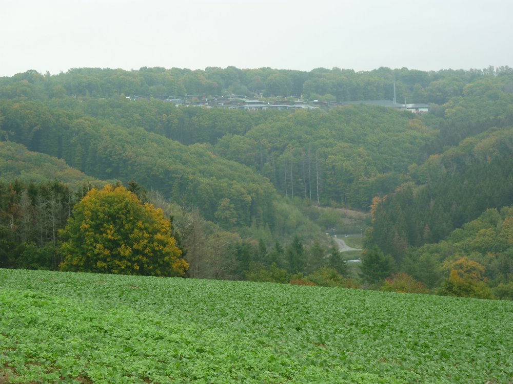
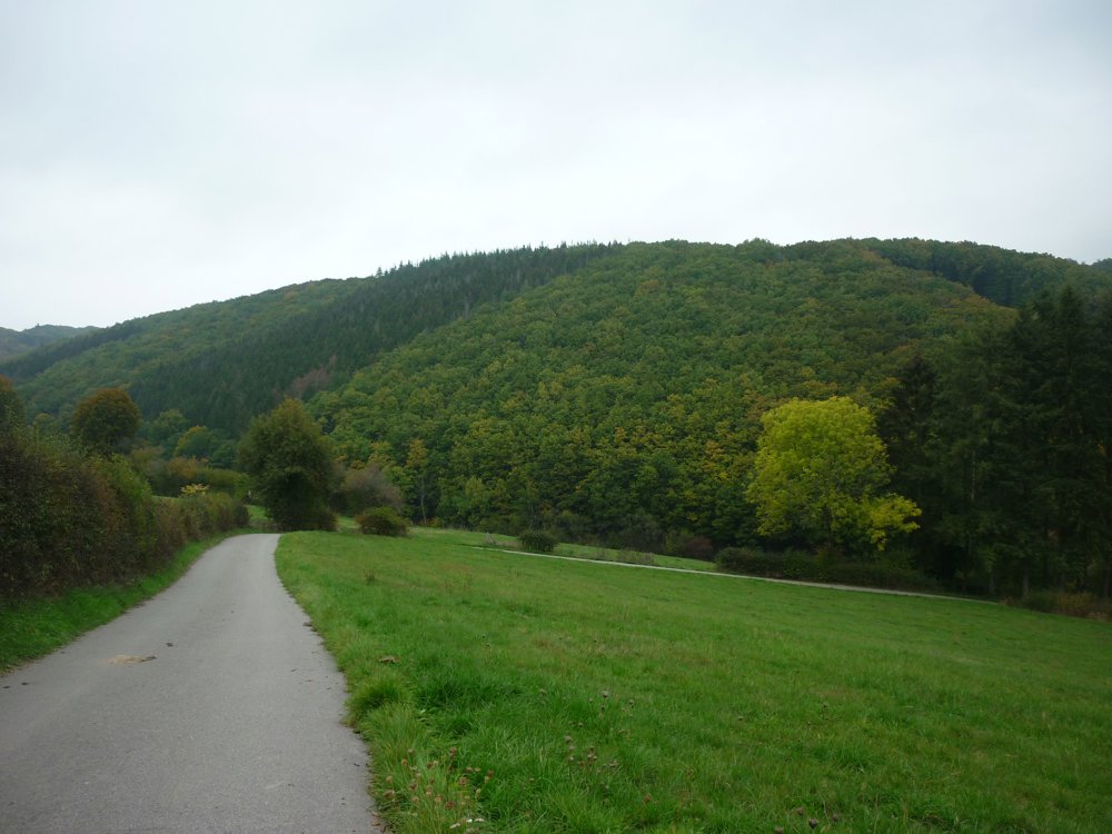
It is always fun to go hiking in different locations, but it's also nice to be able to make new routes from the same place, from the campsite.
This route is particularly successful. You start from the Fuussekaul campsite. We did this loop clockwise. There are plenty of signposts, but you can ignore them. Just follow this track.
From the campsite, you descend into the valley of the Mëchelbaach, which you follow to a small water treatment station. There, you turn left to ascend to Merscheid via a paved road. Once through Merscheid, you descend into the valley of the Lirbech, where from the old wash place Karlsbur, you follow the stream to ascend back to Heiderscheid.
More photos: https://photos.app.goo.gl/KtqxYkpioaTWmyQh6
Happy hiking,
Eddy, Rita, and Prinske
automatic translation


 Upgrade to Premium Plus
