 Hiking
 Login
Login More
More EN
EN Premium
Bourscheid: spicy little walk
automatic translation
18.8 km • Bourscheid
160 0 0/5

 Addresse starting point (approximate)
Um Kräizkapp 1, 9140 Bourscheid, LU
 signage
The route is not signposted. Use a GPS device or our app to follow the route.
 Description
This is a hike for experienced walkers.
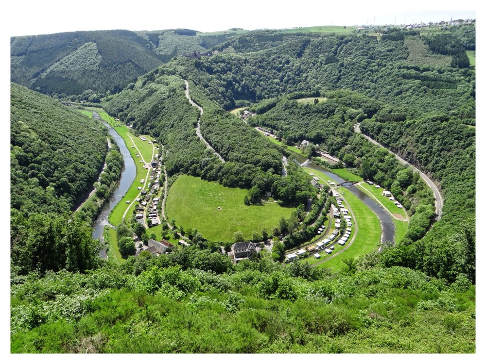
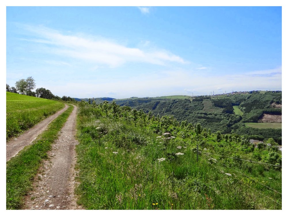
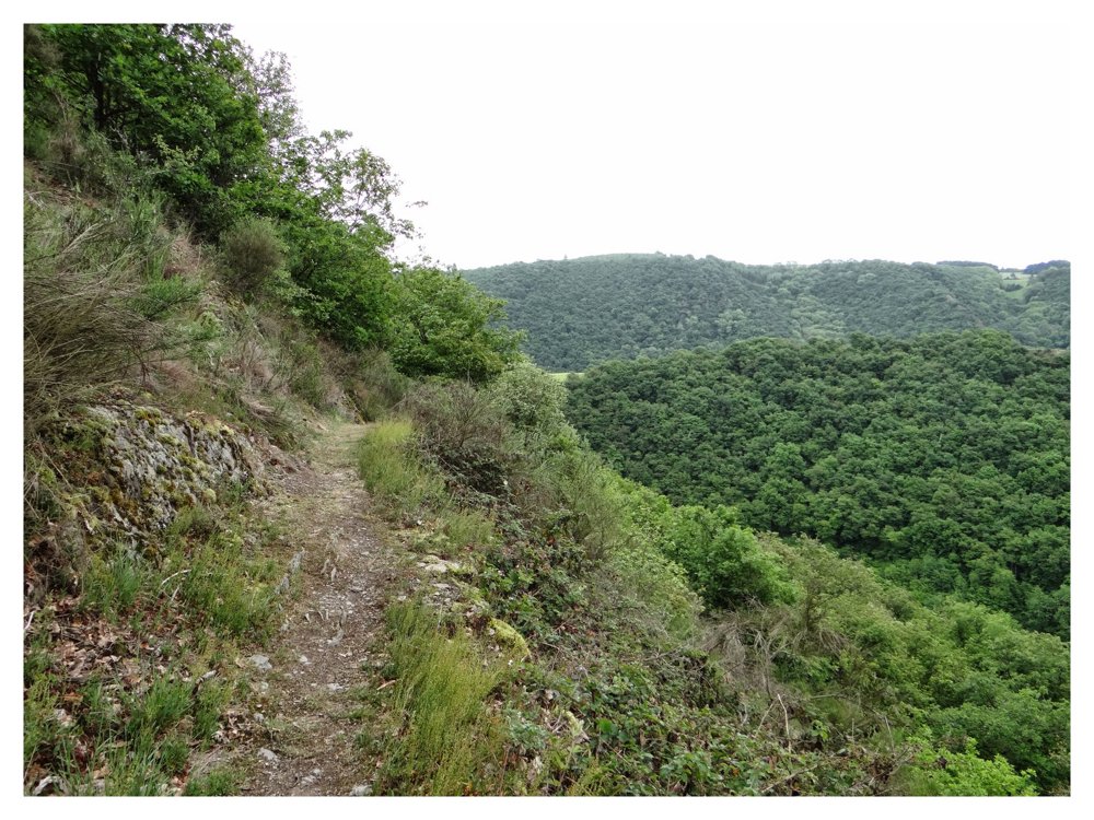
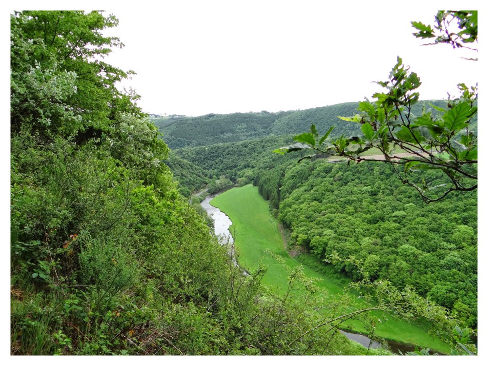
Start at the church of Bourscheid and descend to Goebelsmühle via the piste cyclable de la Sûre Moyenne. Cross the Sûre and walk past the Goebelsmühle station. Via narrow paths, you climb along the flank of the Sûre and descend to Unterschlinder.
Follow the N27 along the Sûre for about 300 meters, then climb again to Lipperscheid. From Lipperscheid, the route continues to Michelau, with beautiful views over the Sûre valley, the castle of Bourscheid, and nature. In Michelau, you cross the Sûre again via a pedestrian bridge next to a railway bridge.
From here, it's a steep climb back to Bourscheid. The hike passes by the castle of Bourscheid, which is definitely worth a visit. If you still feel like it, of course. Don't feel like it? No problem, it has been there since the 11th century and will remain for a few more days.
More photos: https://photos.app.goo.gl/t3yKWwZ8a7rhwK1q6
Happy hiking,
ERP
automatic translation


 Upgrade to Premium Plus
