 Hiking
 Login
Login More
More EN
EN Premium
Upper Sure Lake
automatic translation
8.8 km • Esch-sur-Sûre
180 0 0/5

 Addresse starting point (approximate)
Rue Des Jardins 3, 9650 Esch-sur-Sûre, LU
 signage
The route is not signposted. Use a GPS device or our app to follow the route.

 Description
The walk starts at the parking lot at the entrance of the village.
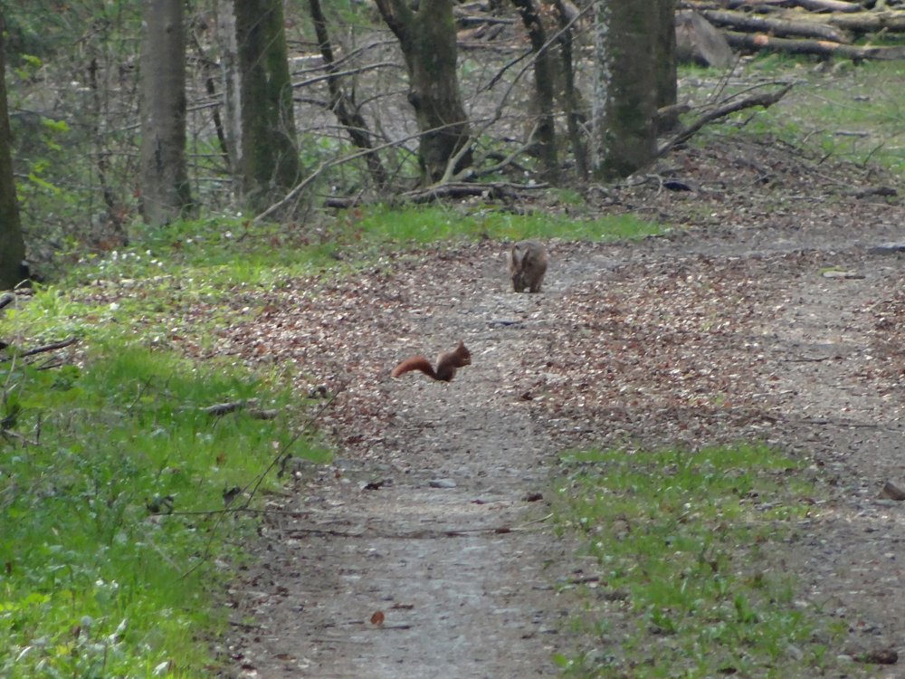
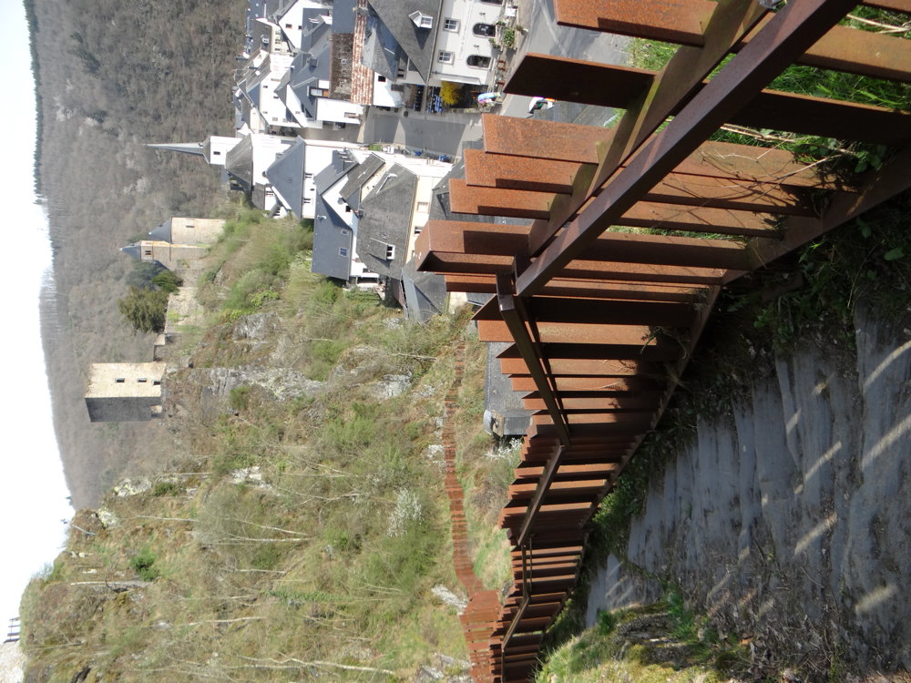
It begins with a steep climb via stairs behind the hotel 'Le Postillon', after which you pass the cemetery of Esch-sur-Sûre to climb a bit more and dive into the forest to only come out at the N15 again.
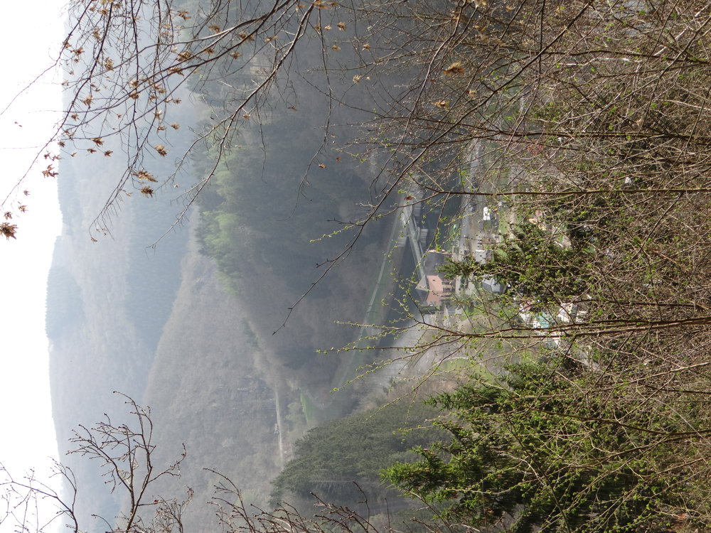
Meanwhile, you remain at the same height; there are no more heavy climbs, only descents. After crossing the N15, you head towards 'Heiderscheidergrund', where you can admire the beautiful octagonal chapel. Here, the walk deviates slightly from the signage to make a shortcut, after which you can follow the signage again.
The walk continues through 'Camping Bissen' to then follow the bank of the 'Sûre' along the reservoir of 'Esch-sur-Sûre' and 'Camping Im Aal' back to the starting point.
More photos: https://goo.gl/photos/QDDmPFoL4f3mapxR9
Happy walking,
Eddy, Rita and Prinske
automatic translation


 Upgrade to Premium Plus
