Loading...

Auto-Pedestrian Heiderscheid

automatic translation

7.5 km • Esch-sur-Sûre

131 0 0/5

7.5 km 0.0 km 0.0 km
10 km
© OpenStreetMap contributors, Tracestrack

route offered by

Eddy & Rita

Icon starting point Addresse starting point (approximate)

An Der Gaass 10, 9157 Esch-sur-Sûre, LU

Icon type signage of route signage

The route is fully signposted with thematic signs (no nodes).

214.2 m 221.3 m 498.9 m 259.7 m These values indicate respectively the number of meters to rise, the highest and the lowest point in meters.
Atmosphere image 1 of route Auto-Pedestrian Heiderscheid Atmosphere image 2 of route Auto-Pedestrian Heiderscheid Atmosphere image 3 of route Auto-Pedestrian Heiderscheid
© Eddy & Rita

Icon description route Description

Markings in both directions, blue diamond on a white background.

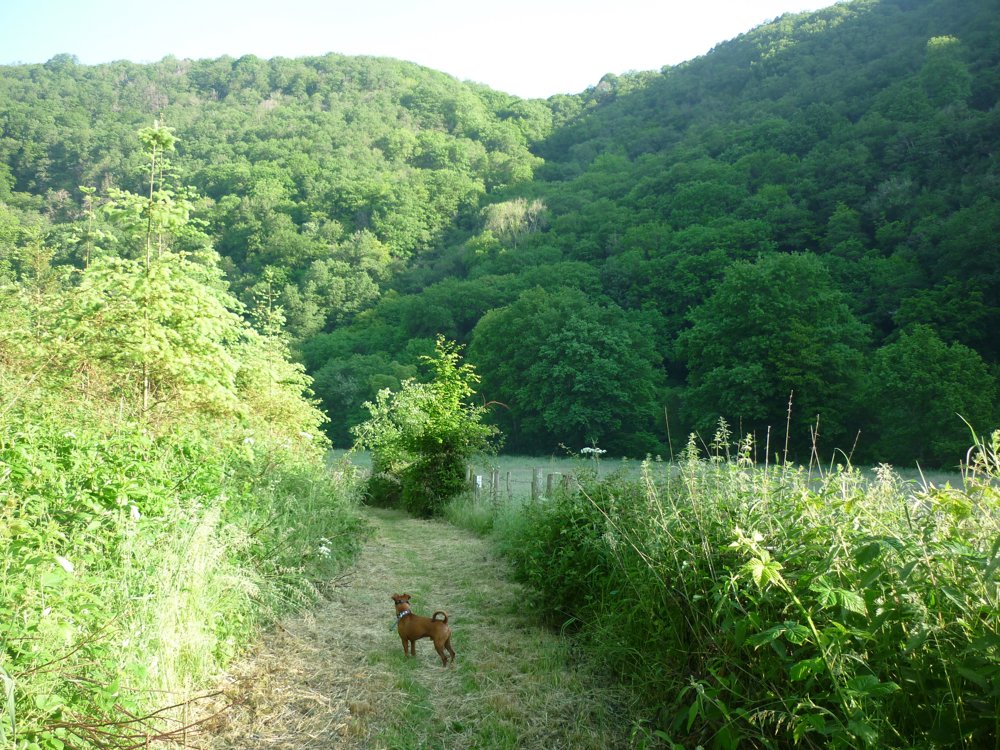
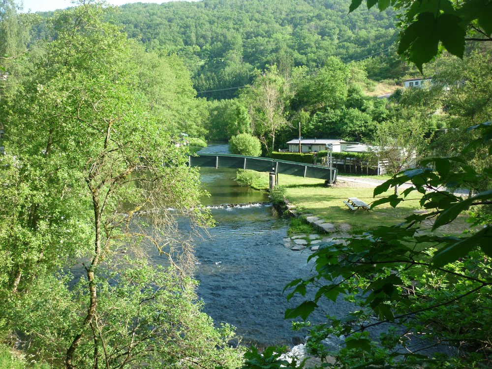
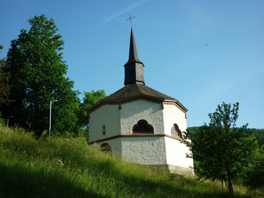
The Auto-Pédestre Heiderscheid first descends downhill, towards the Sauertal. There, the path follows the river to the St. Kunigundis chapel. This building, built in 1850, is unique in the country because of its octagonal shape. Because of this shape, the chapel is called the "Inkwell."

The hiking trail then follows the Heesbach to the small village of Heiderscheidergrund. After a climb of about 3 kilometers, you return to your starting point, the cultural center in Heiderscheid.

More photos: https://photos.app.goo.gl/95J9zU7sQk9AhHJh8

Happy hiking,

Eddy, Rita and Prinske

automatic translation

This route does not have any reviews yet. Be the first!
Rate route!

Which POI do you want to show on the map?

Experimental hiking network
Unsigned icon

The route you have chosen runs (partly) along an experimental virtual hiking node network (the blue-coloured nodes and sections on the map).

You must be logged in to plan routes here.

Experimental hiking network
Unsigned icon

The route you have chosen runs (partly) along an experimental virtual hiking node network (the blue-coloured nodes and sections on the map).

These routes are not controlled in the field. Before you start hiking here, take a minute to read what an experimental hiking node network is and what rules you should follow when hiking here.

By clicking 'Accept all cookies,' you agree to the use of cookies for an enhanced user experience, website traffic analysis, and personalized advertisements. Cookie policy