 Hiking
 Login
Login More
More EN
EN Premium
Kautenbach Circular Walk KI 7
automatic translation
10.8 km • Kiischpelt
180 0 0/5

 Addresse starting point (approximate)
Duerfstrooss 2, 9663 Kiischpelt, LU
 signage
The route is fully signposted with thematic signs (no nodes).

 Description
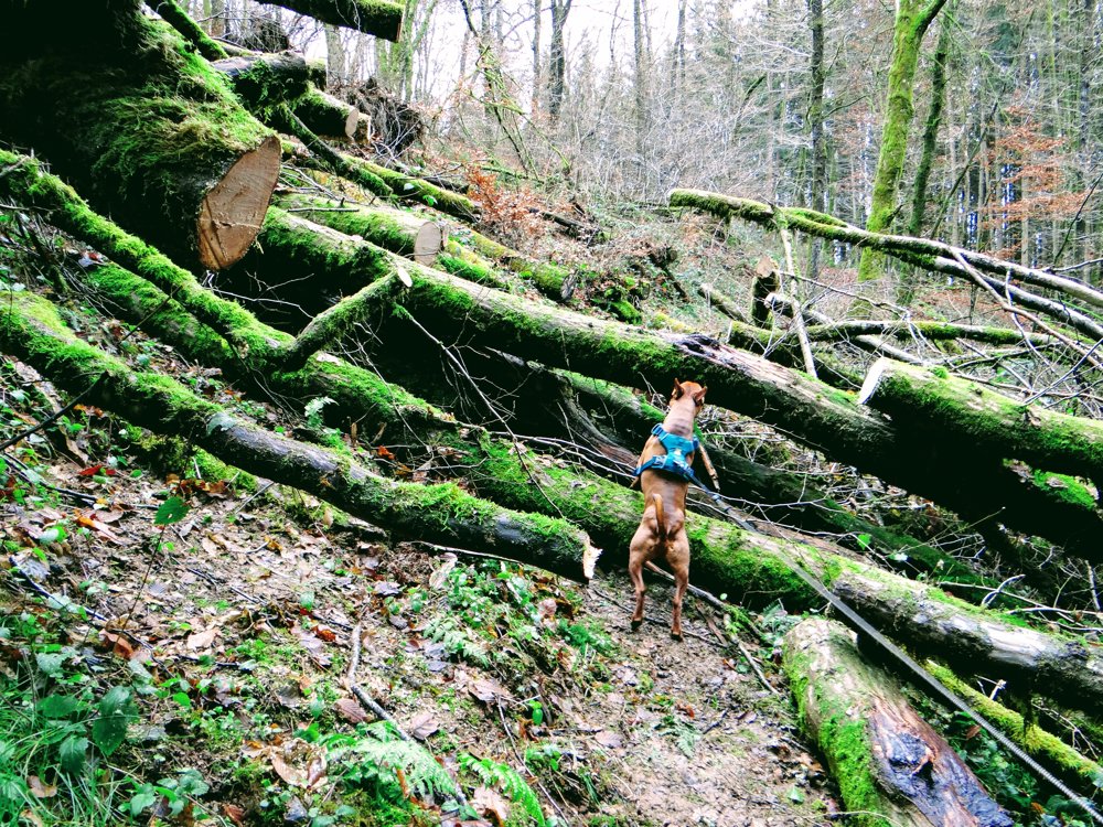
The route can be started in 'Nocher' and also in 'Kautenbach'. We chose to start in 'Kautenbach'. We did it counterclockwise, which took us through forests and small stream valleys up to 'Nocher'.
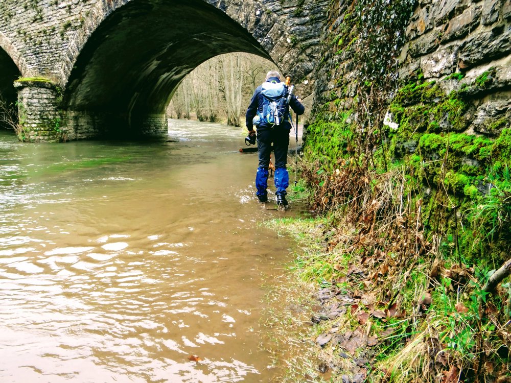
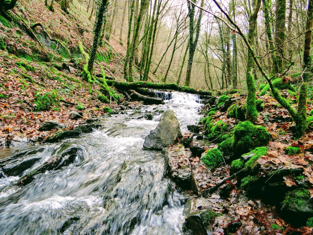
Once arrived in 'Nocher', you dive into the picturesque valley of the 'Nacherbaach' and continue to follow it until it flows into the river 'Wiltz'. The river is followed briefly and crossed via a safe pedestrian bridge, to then proceed along the other bank of the 'Wiltz' under the railway bridge towards 'Kautenbach'.
The path under the bridge was flooded, which was a bit exciting, but we were able to safely continue our journey without getting our feet wet. There is no other possibility to return to 'Kautenbach'.
More photos: https://photos.app.goo.gl/khzVsE4X9zW6rDQD6
Happy hiking,
Eddy, Rita and Prinske
automatic translation


 Upgrade to Premium Plus
