 Hiking
 Login
Login More
More EN
EN Premium
Auto-pedestrian Kaundorf
automatic translation
8.4 km • Lac de la Haute-Sûre
60 0 0/5

 Addresse starting point (approximate)
Um Knupp 7, 9662 Lac de la Haute Sûre, LU
 signage
The route is fully signposted with thematic signs (no nodes).
 Description
Markings in both directions, blue diamond on white background.
Beautiful, well-marked walk that starts at the entrance of the village 'Kaundorf'. 'Kaundorf' (Luxembourgish: Kauneref) is a place in the municipality of Lac de la Haute-Sûre and the canton of Wiltz in Luxembourg. Kaundorf has 193 inhabitants (2012).
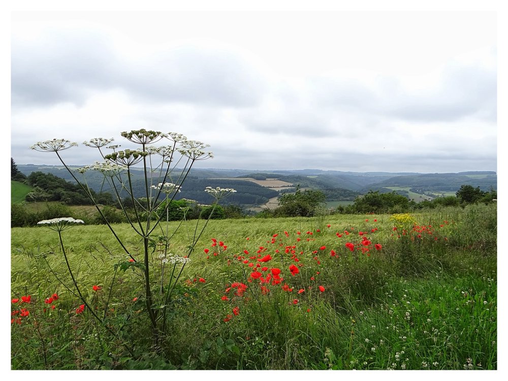
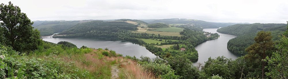
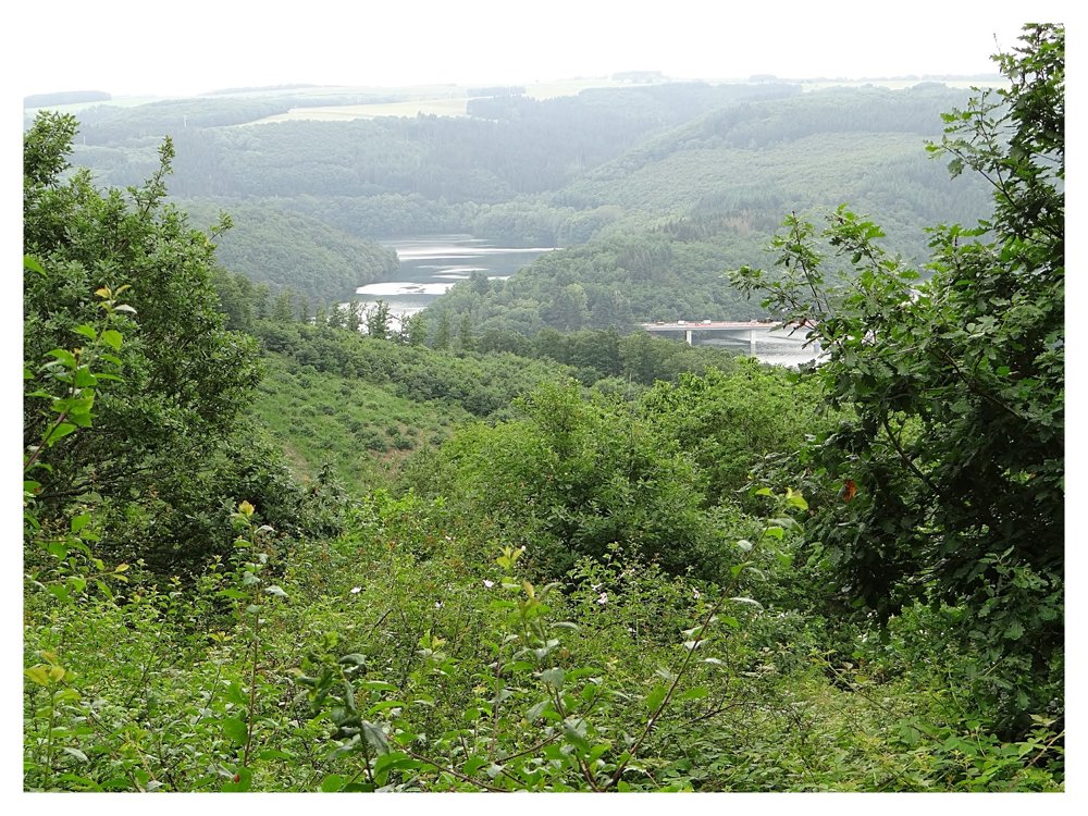
This walk is full of surprises. Right from the start, you get stunning views of the 'Lac de la Haute Sûre' and the villages of 'Lultzhausen' and 'Insenborn'. Then you descend through the forest, which is also a protected water area, to the beautiful chapel of 'Saint Pirmin'. You descend briefly to the chapel of the same name where there is a spring blessed by 'St Pirmin'. Ascending, you go through forests and fields with beautiful views back to 'Kaundorf'.
More photos: https://photos.app.goo.gl/U6rYQb4VmVCanmUr8
Happy hiking,
Eddy, Rita, and Prinske
automatic translation


 Upgrade to Premium Plus
